 Familie Badstöber
DE
Familie Badstöber
DE

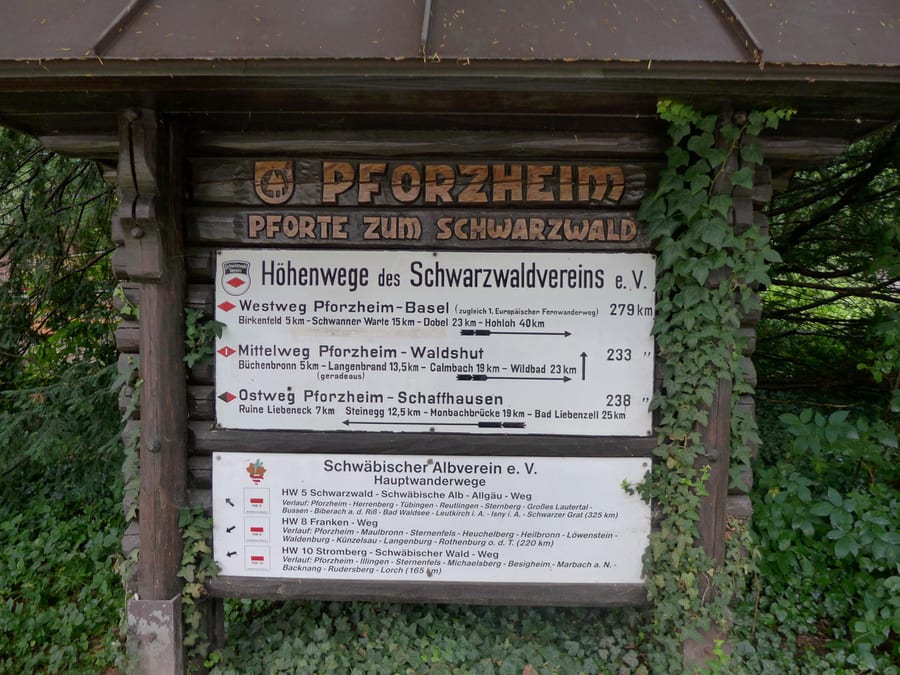
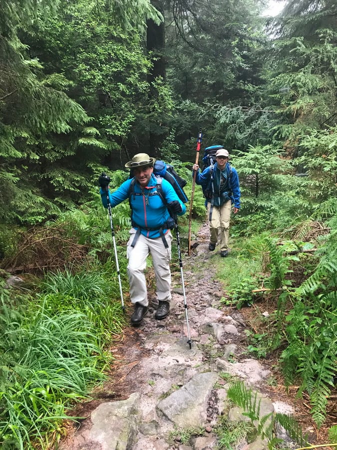
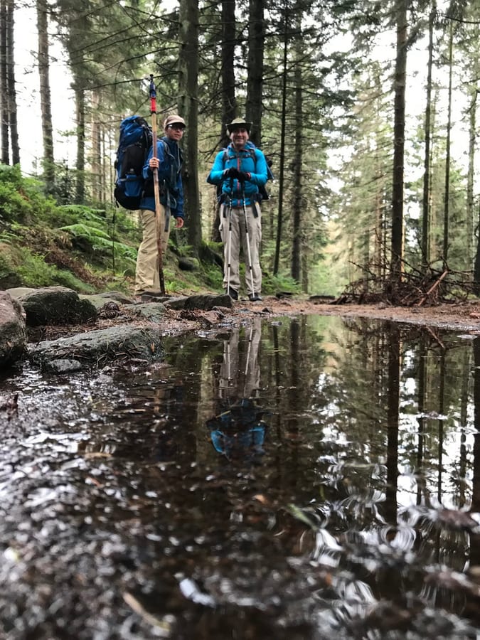
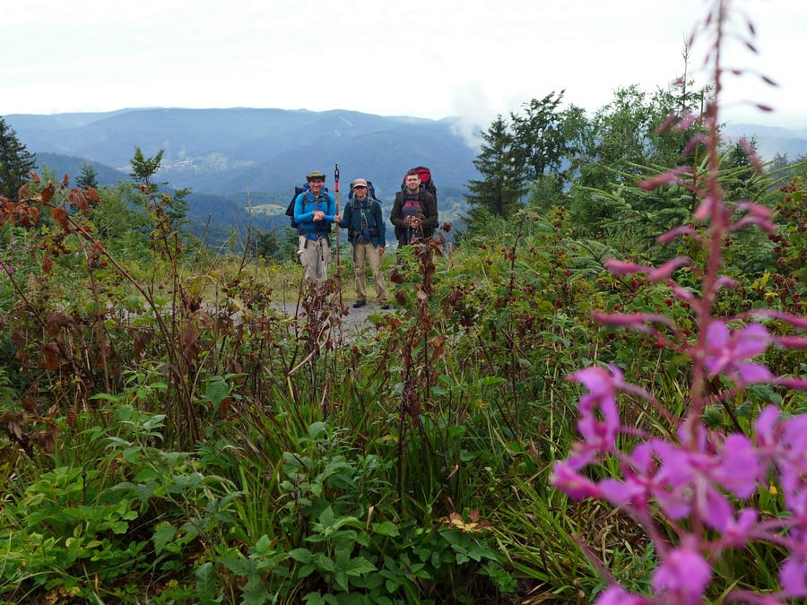
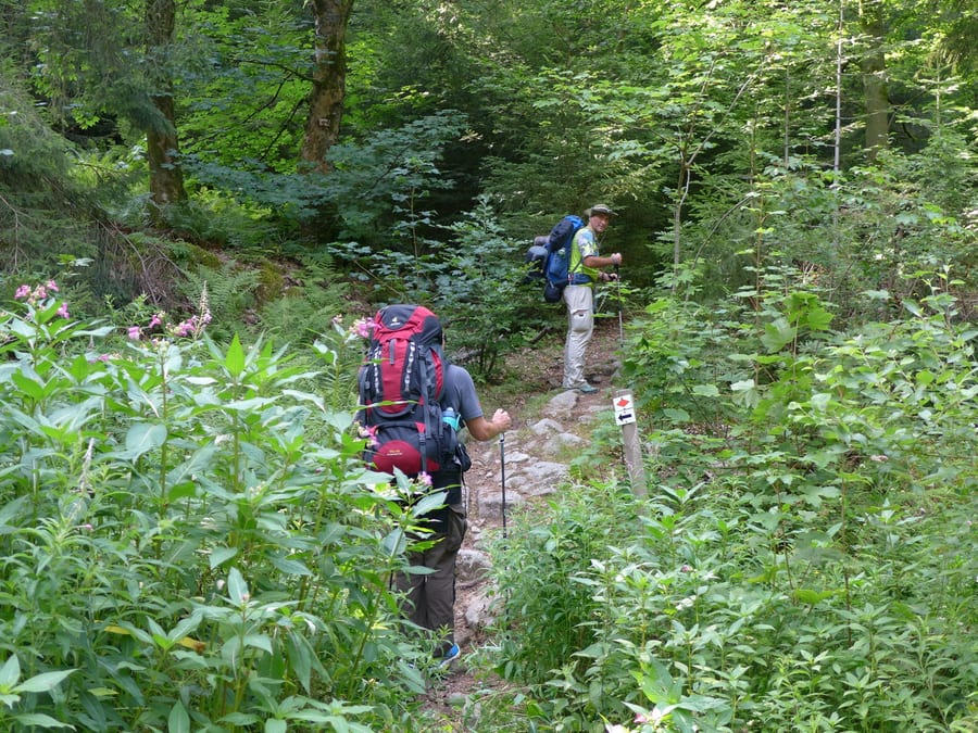
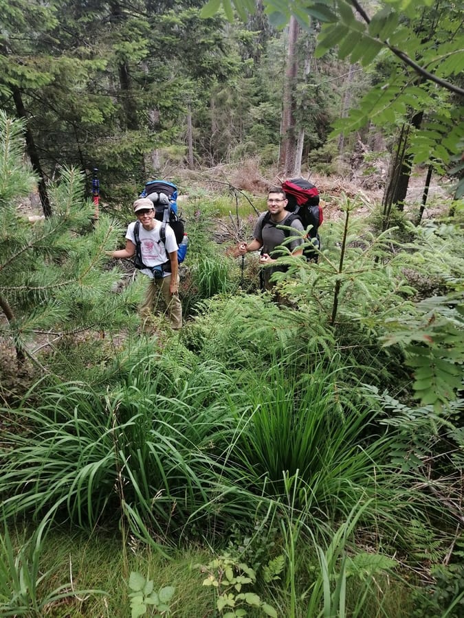
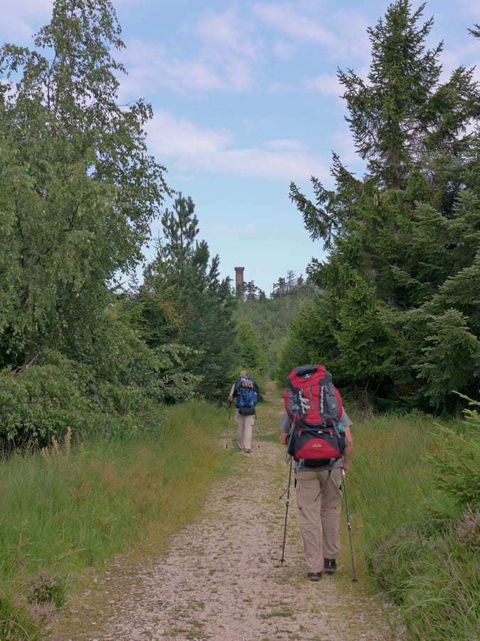
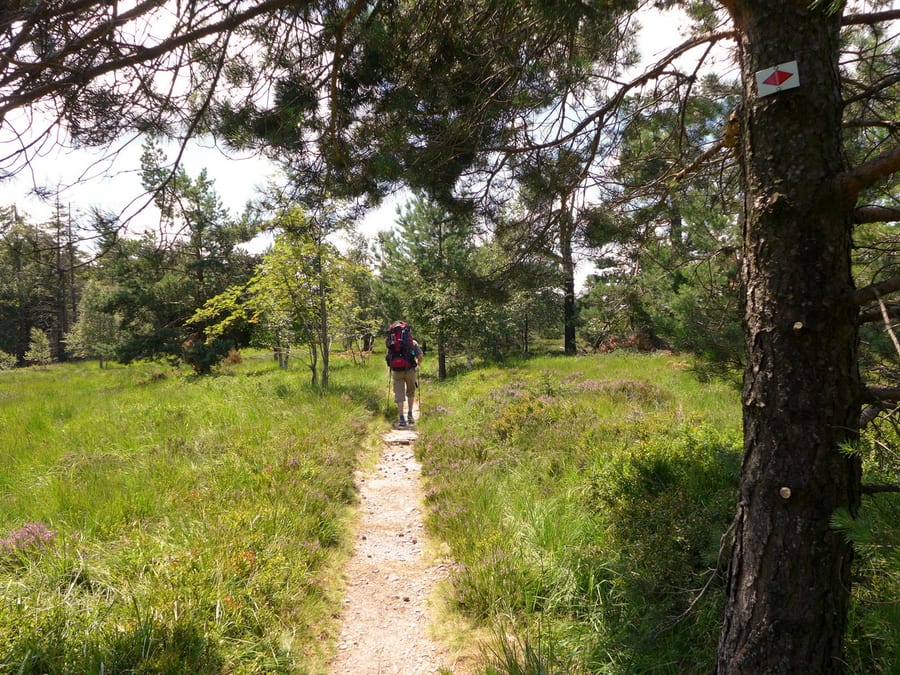
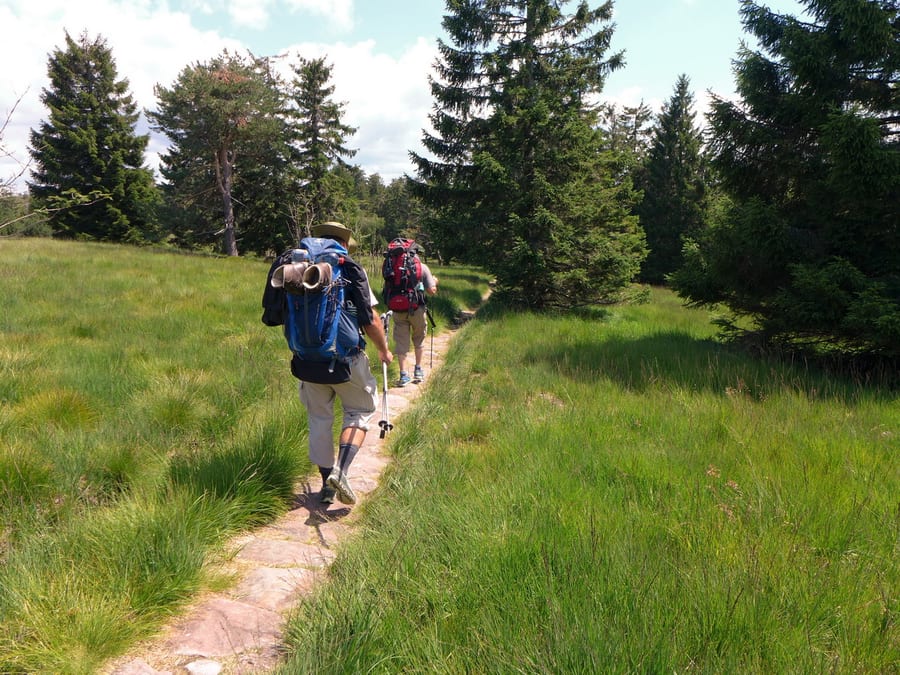
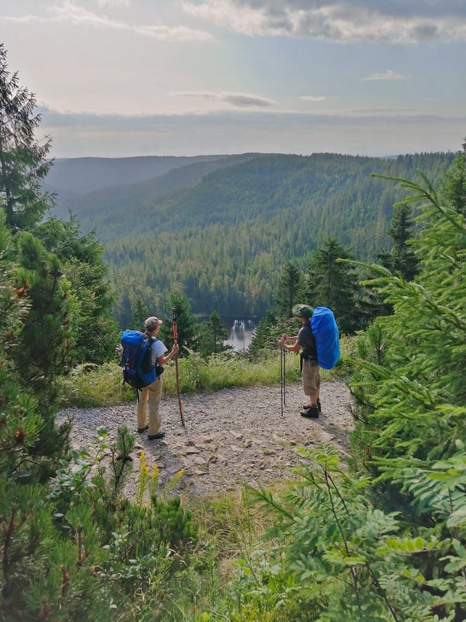
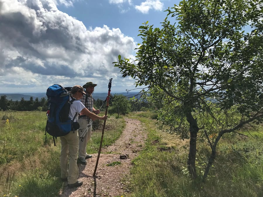
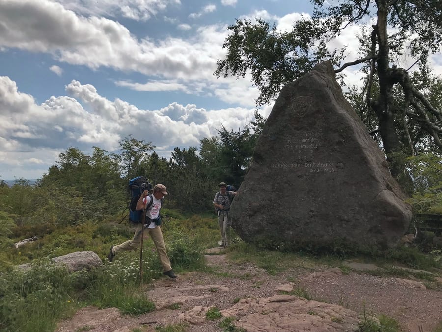
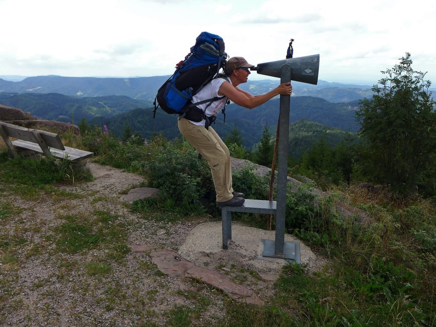
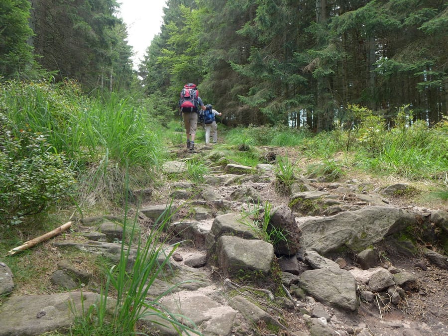
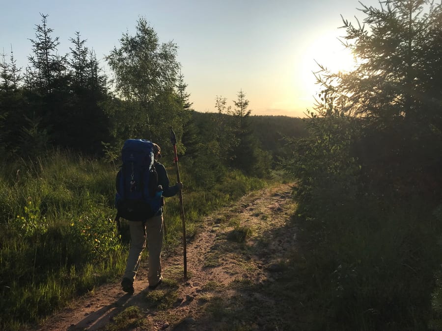
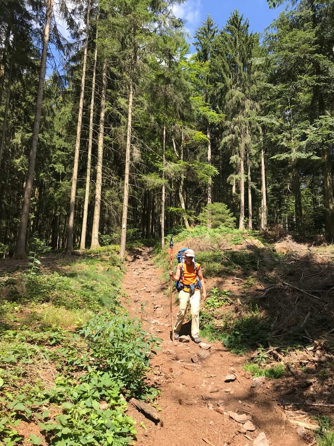
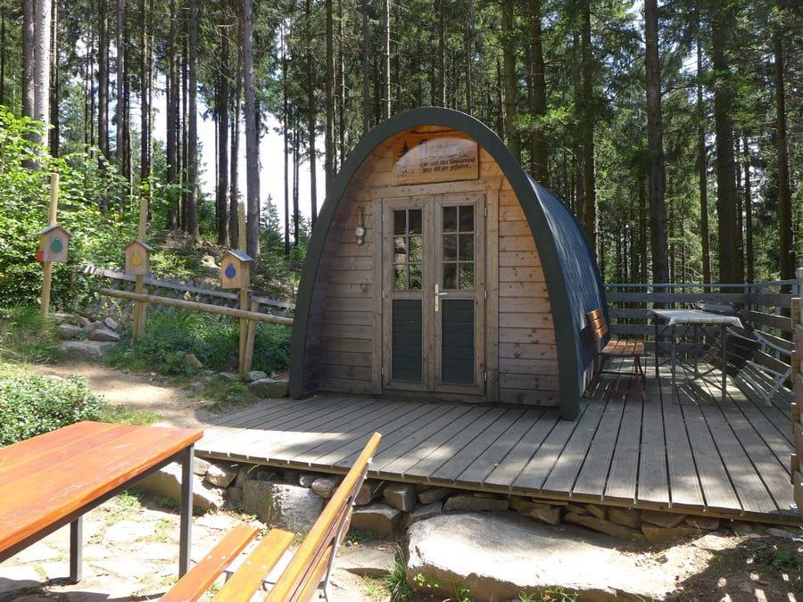
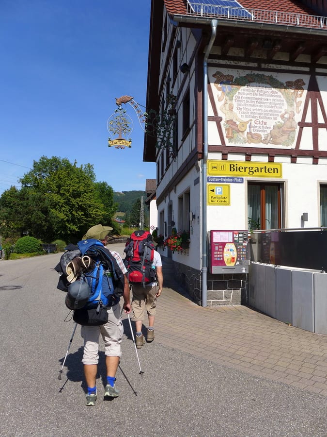
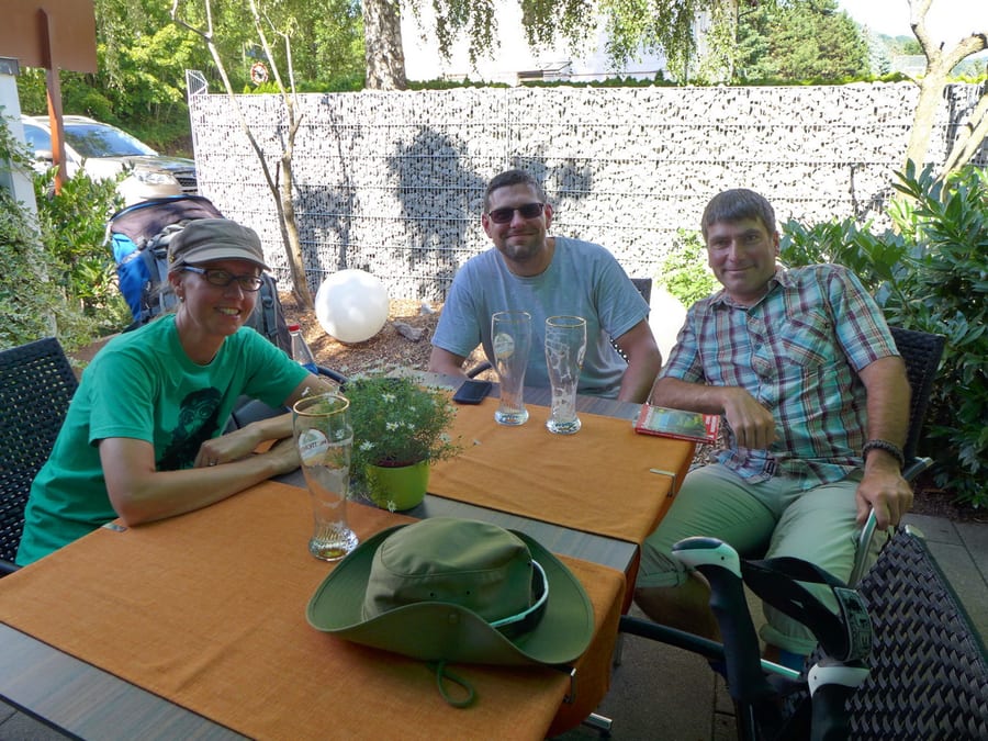
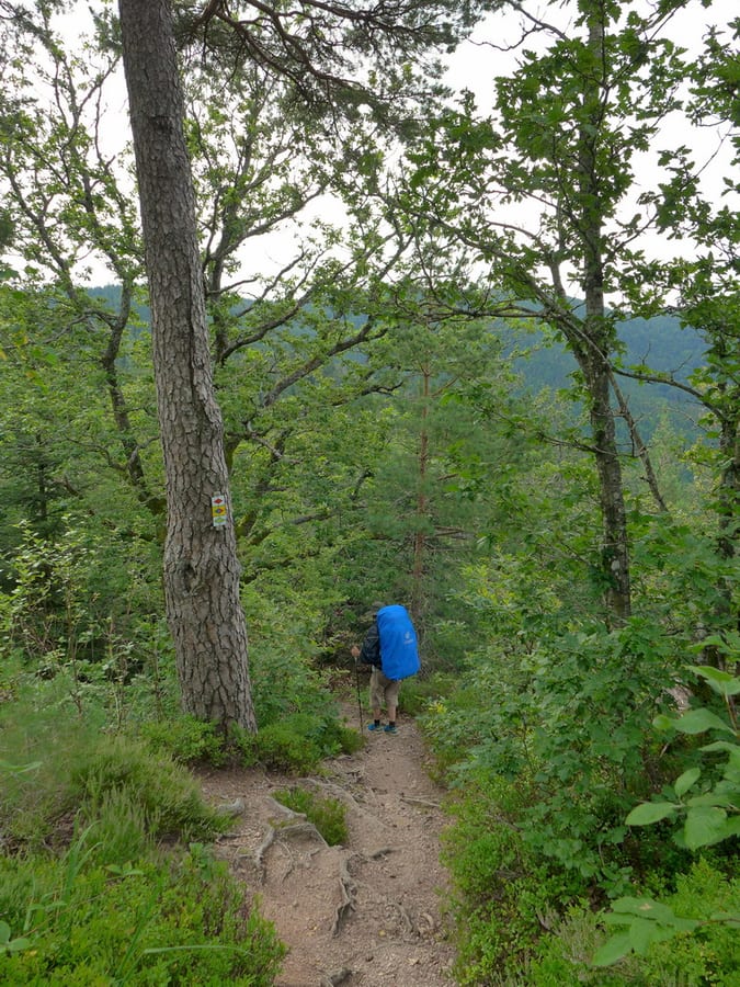
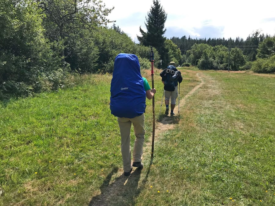
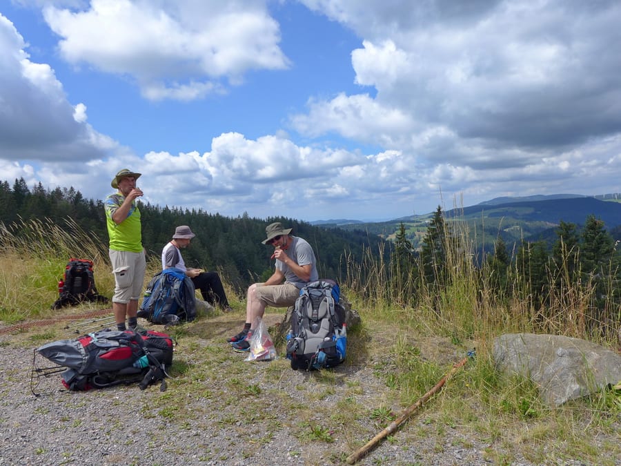
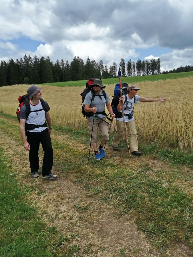
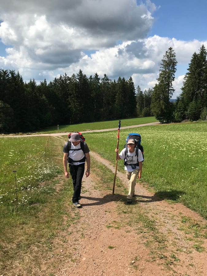
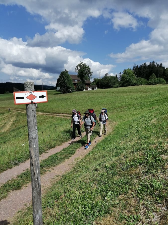
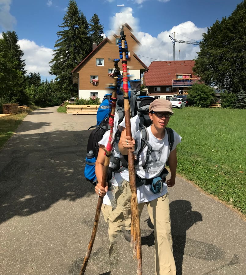
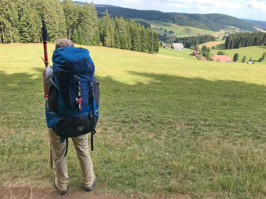
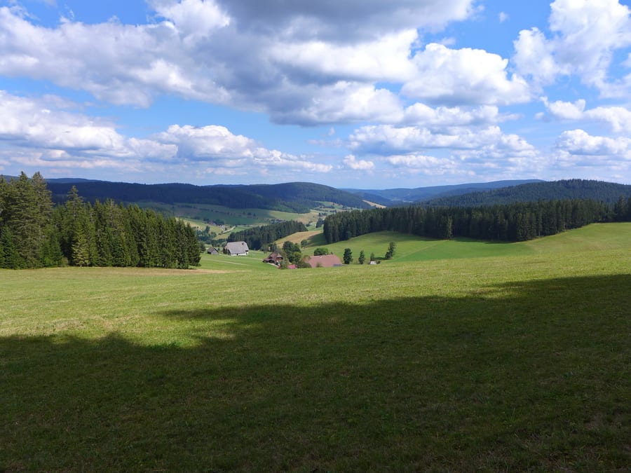
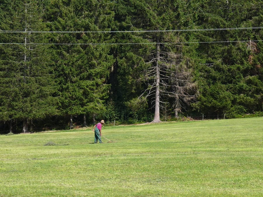
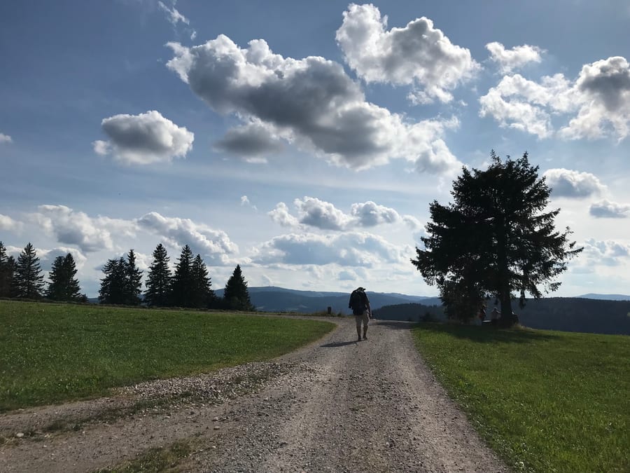
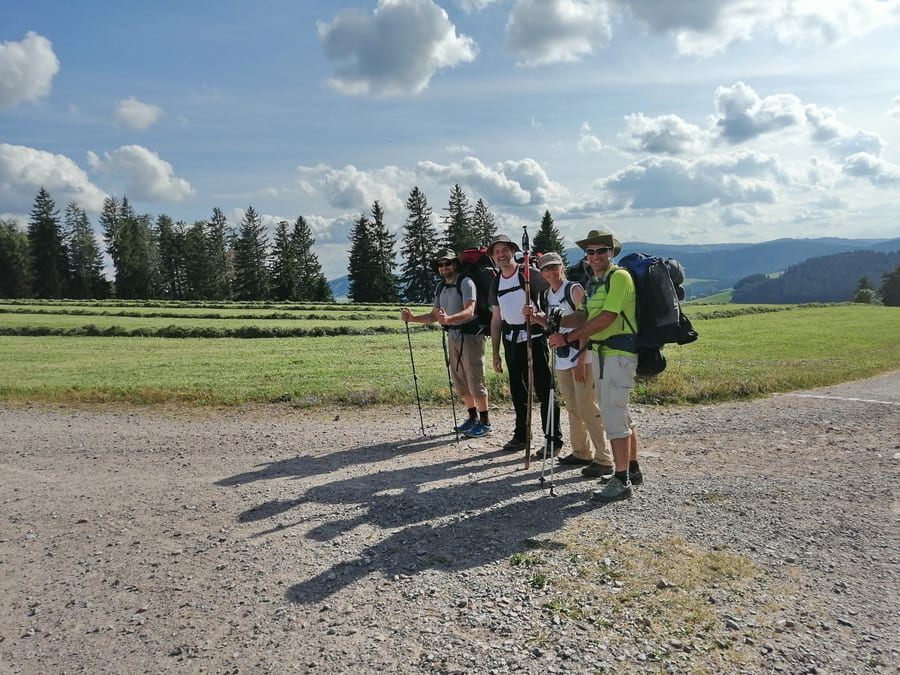
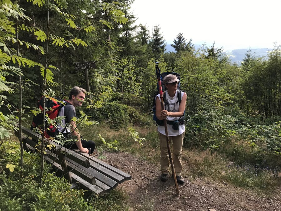
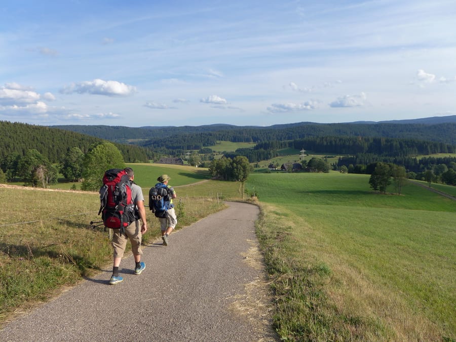
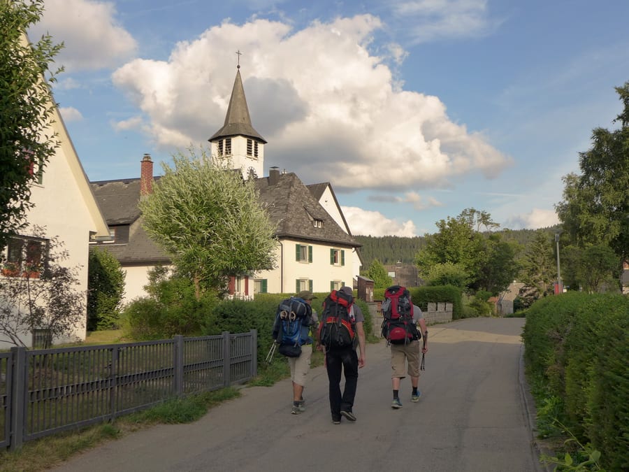
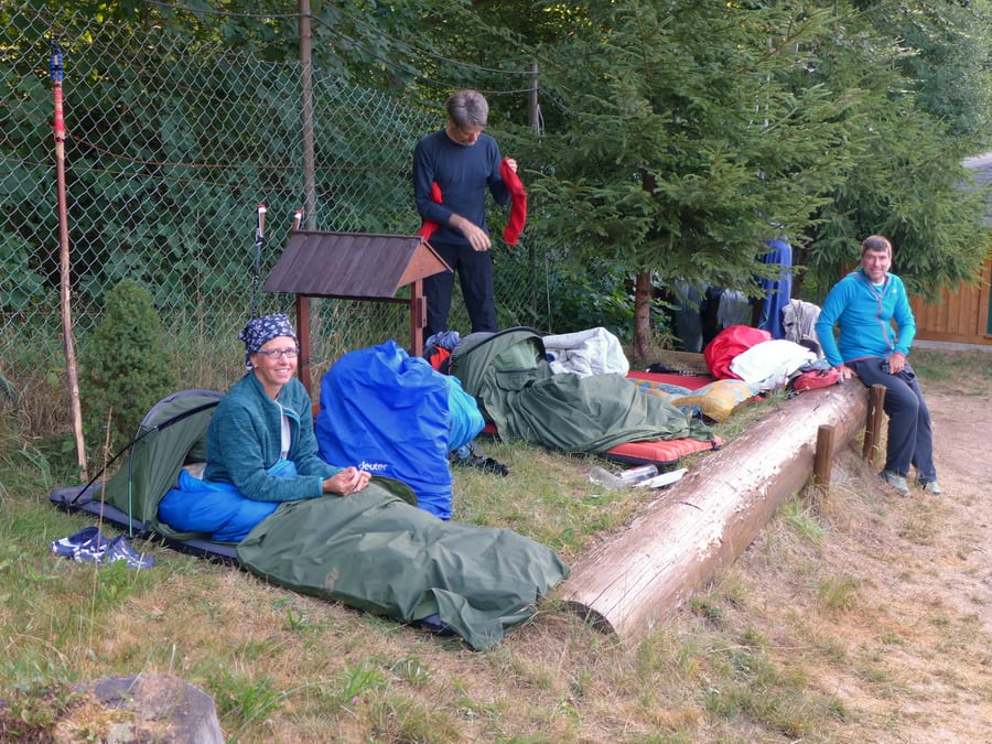
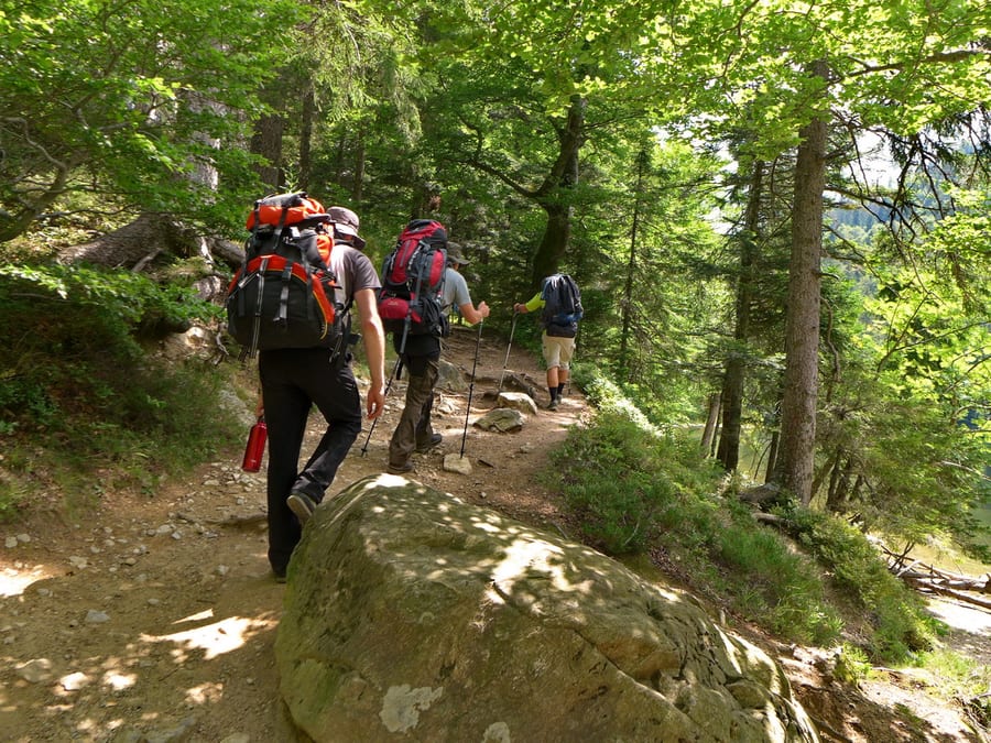
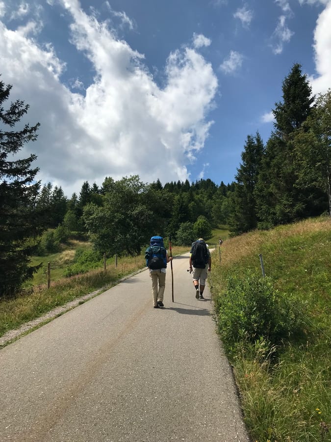
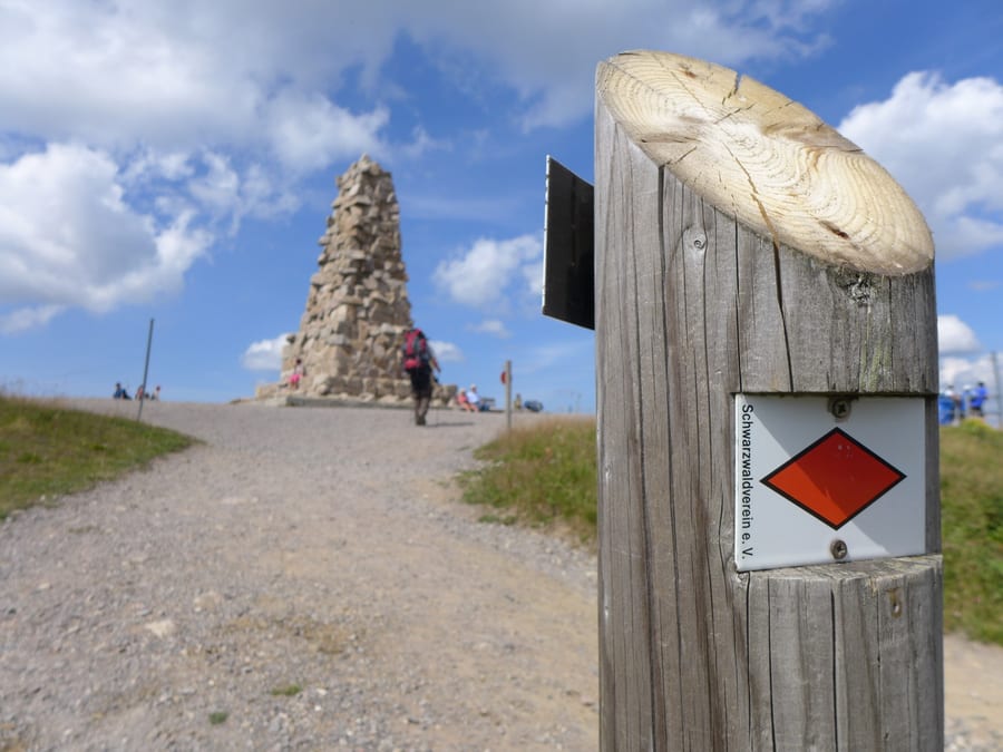
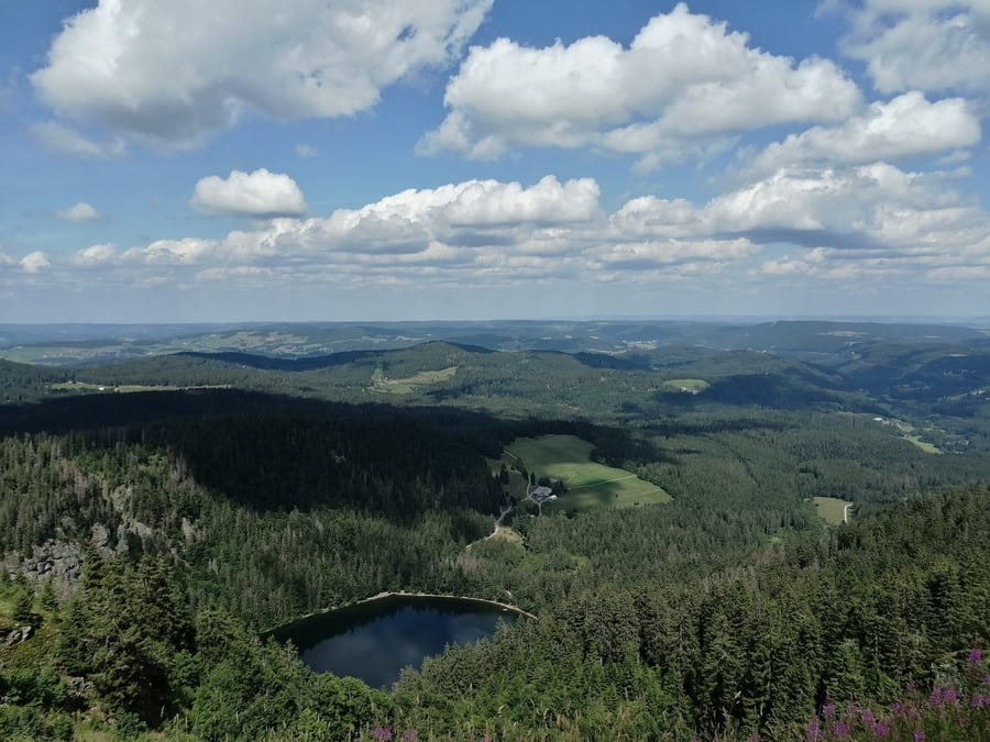
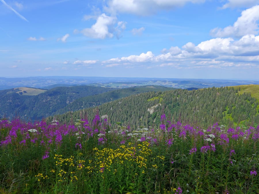
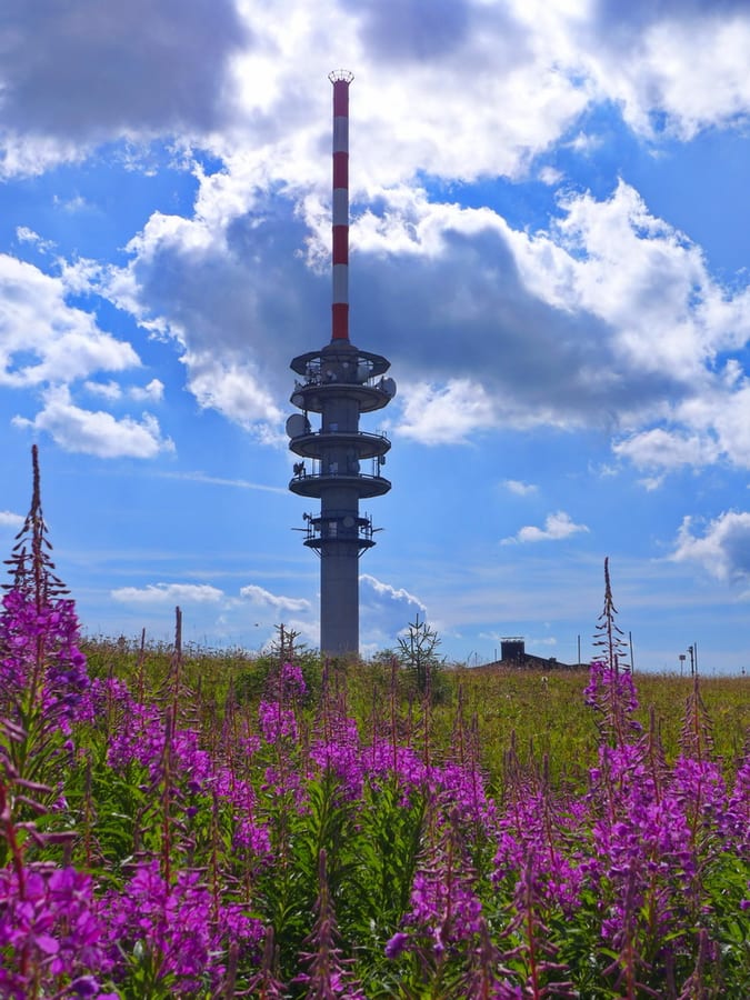
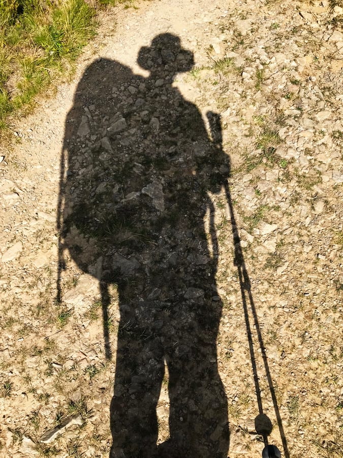
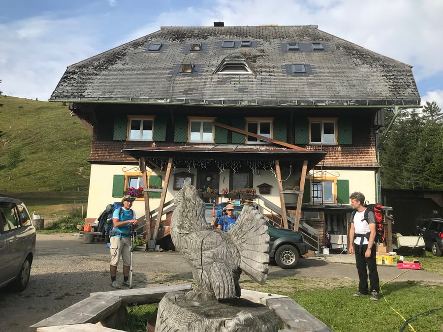
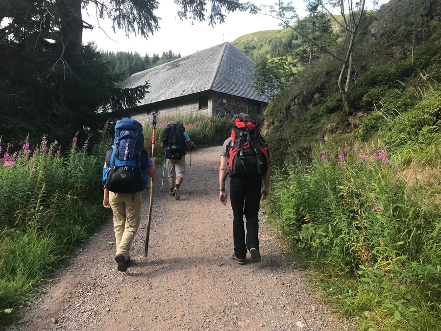
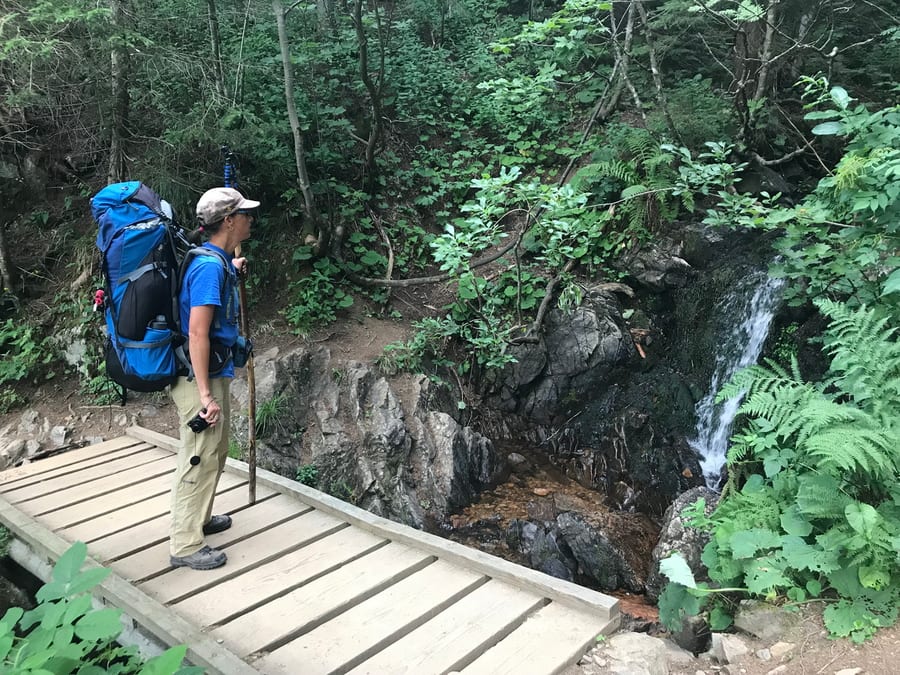
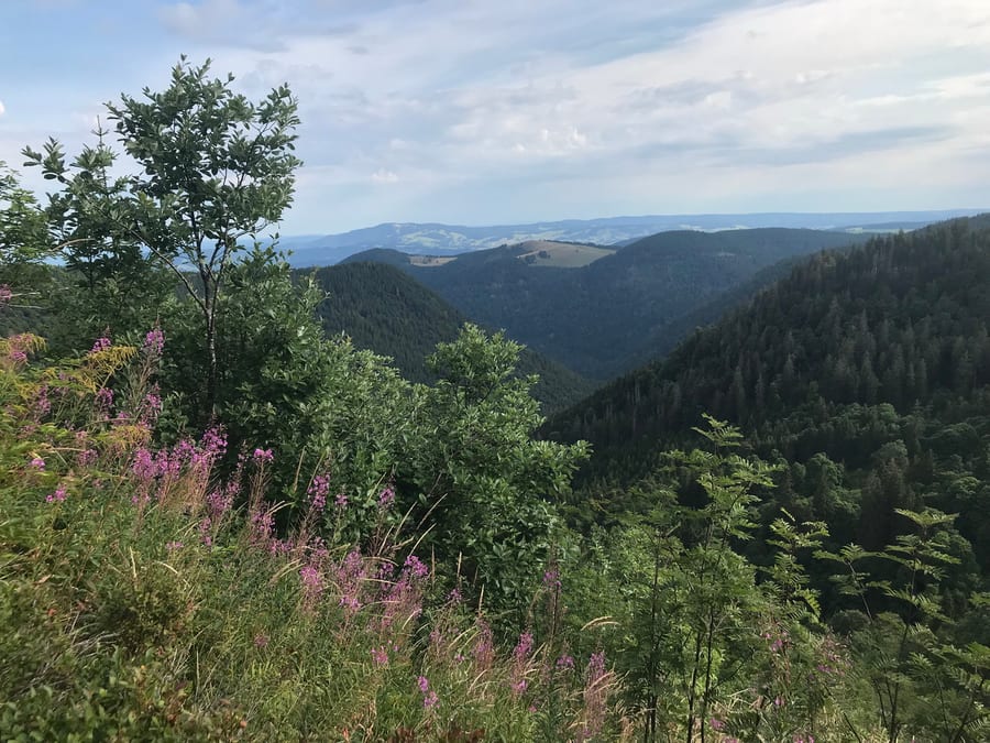
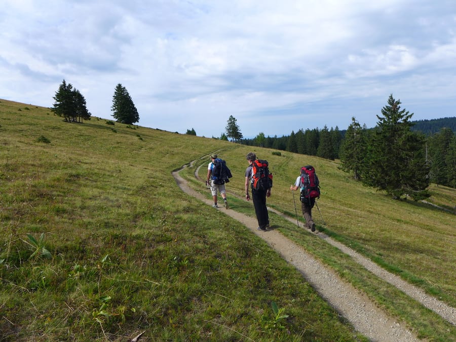
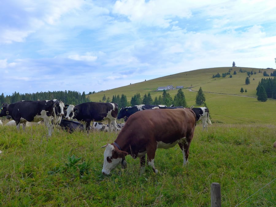
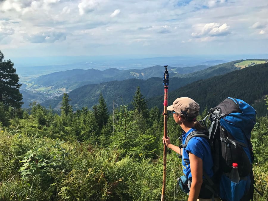
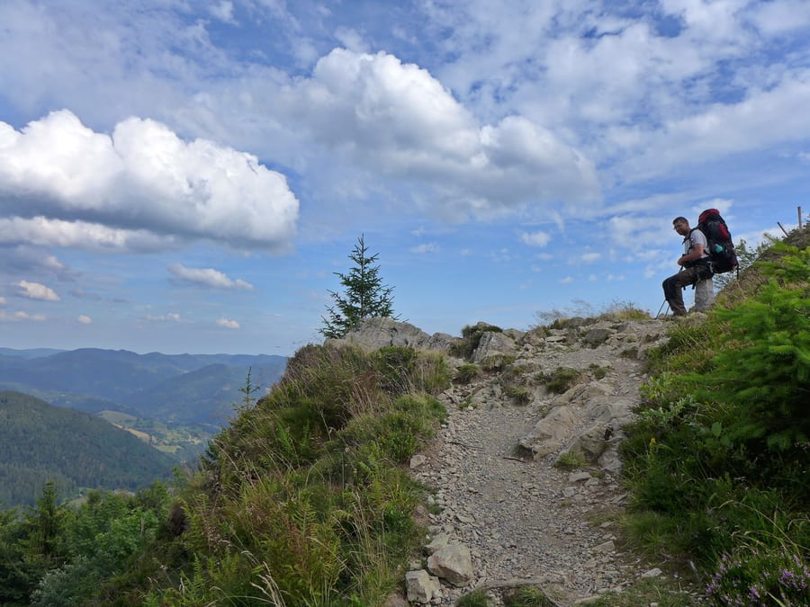
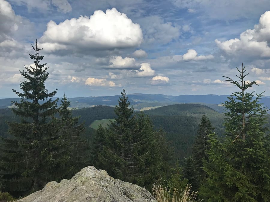
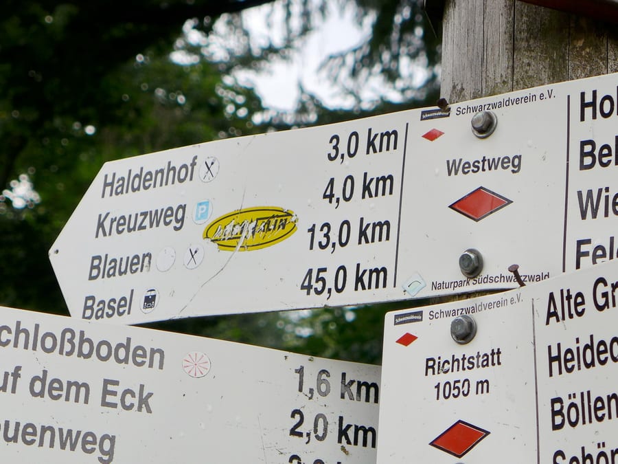
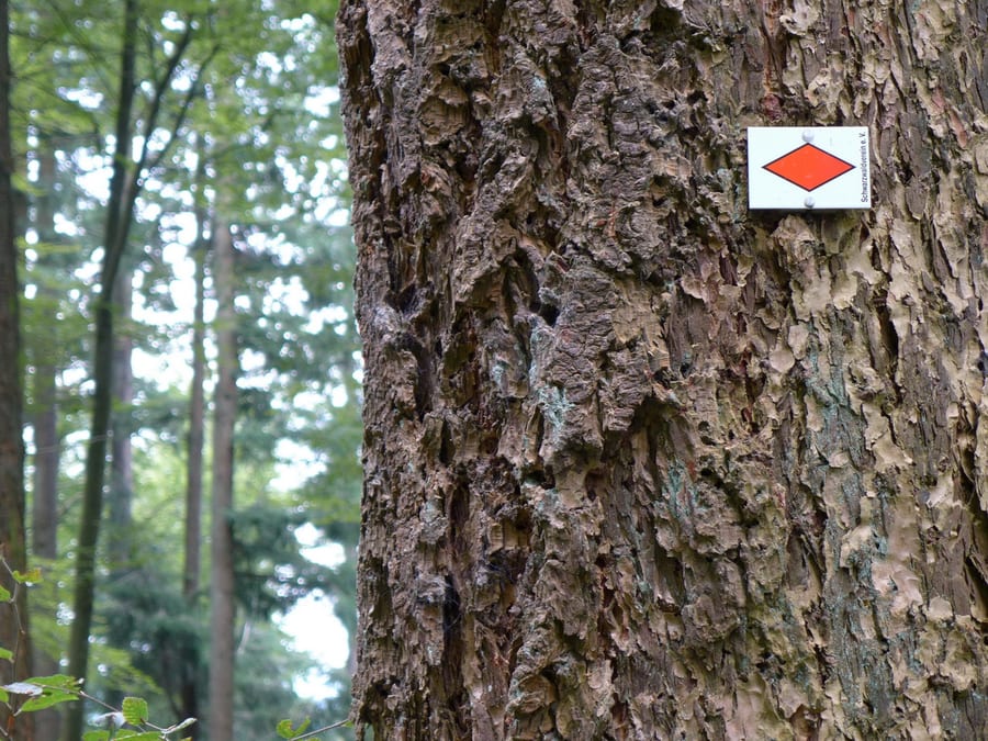
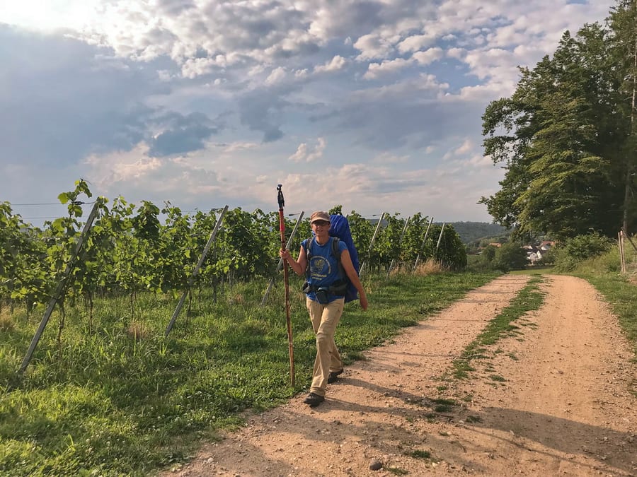
The Westweg (west way) runs from Pforzheim to Basel. It is the best-known of the three main hiking trails through the Black Forest and, at over 280 km (depending on the route), also the longest. We decided to hike the whole trail in one go and, whenever possible, spend the nights in shelters with bivvy bags so we could spend as much time as possible in nature.
Sunday, 28 July 2019 - Day 1
Pforzheim to Schweizerkopfhütte beyond Dobel
31 km
End of stage at kilometre 31
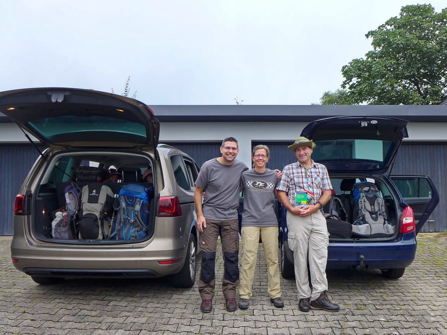
Still feeling the effects of the tug-of-war event the day before, at 8:30 a.m. our chauffeur family picks us up in their entire fleet. (Many thanks!) The two cars have enough room for four hikers, five children, a grandma and a psychological support worker. 😏
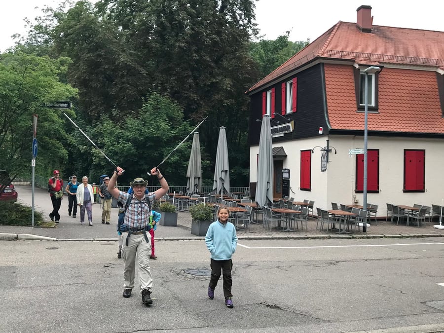
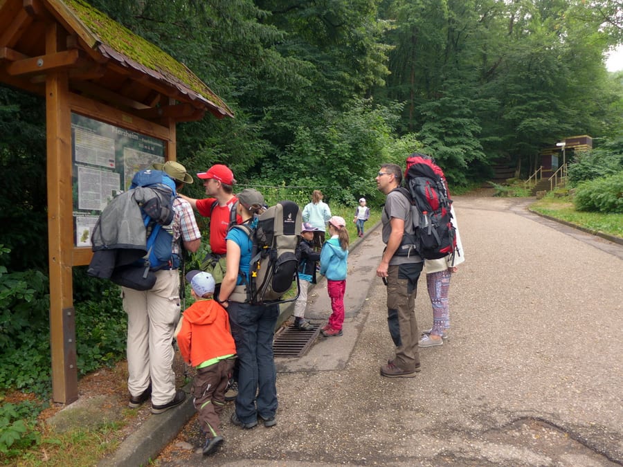
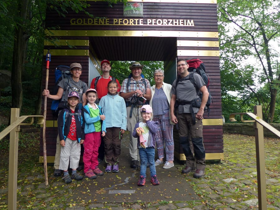
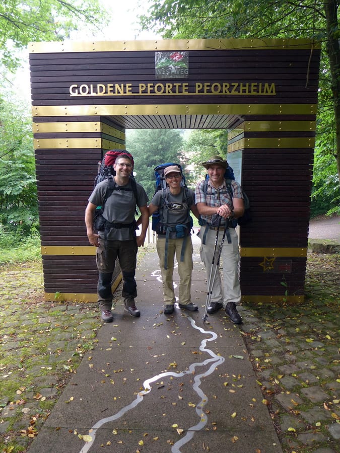
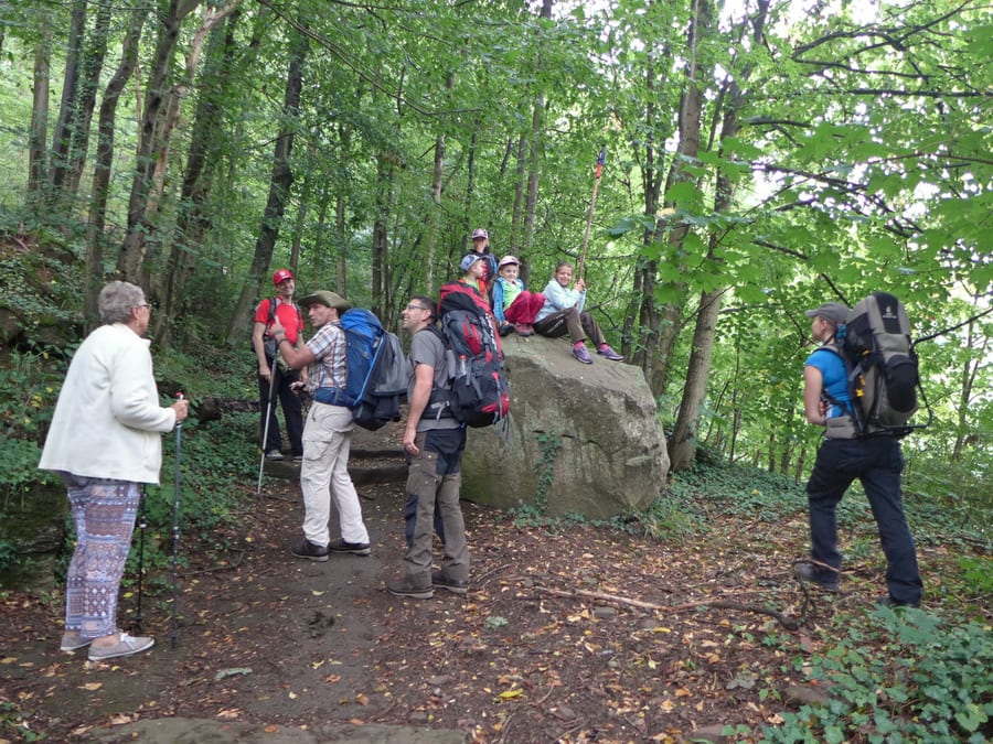
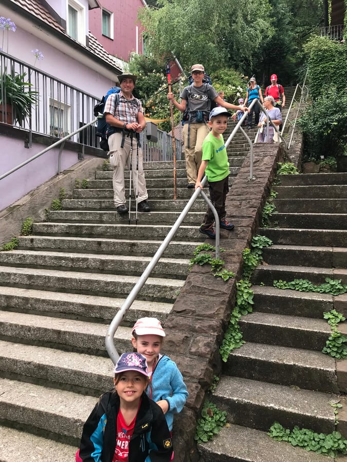
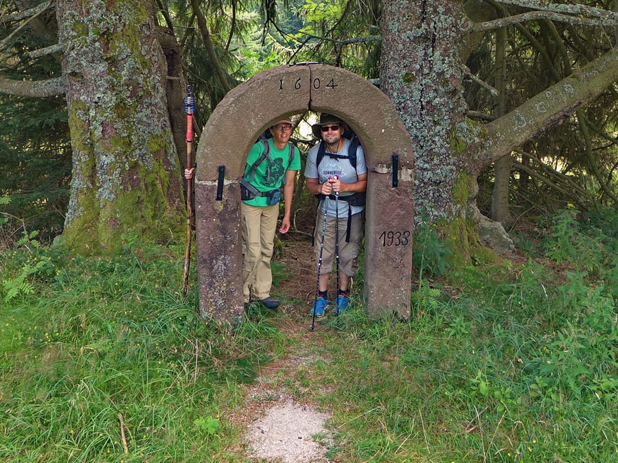
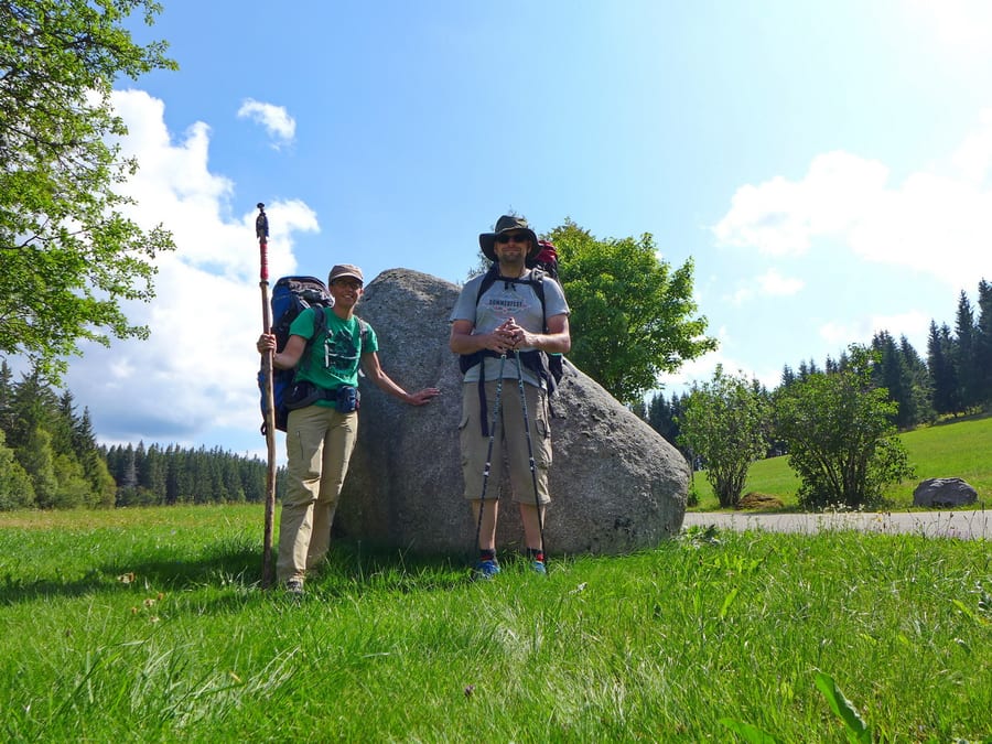
At around 9 a.m., we start with a few photos at the “Golden Gate” in Pforzheim, the first of eleven gateways on our chosen route. After only a few kilometres, one hiker, five children, a grandma and the aforementioned psychological support head off to have a picnic at a playground, leaving the rest of us behind.
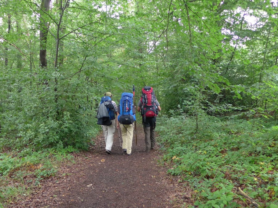
From now on, there are just three of us for a while. The weather is great, and we cover one kilometre after another. Before Neuenbürg, we actually want to take the high-altitude variant, but a local tells us the lower route is much nicer. (Later, everyone will tell us we should have taken the high route. 🤪)
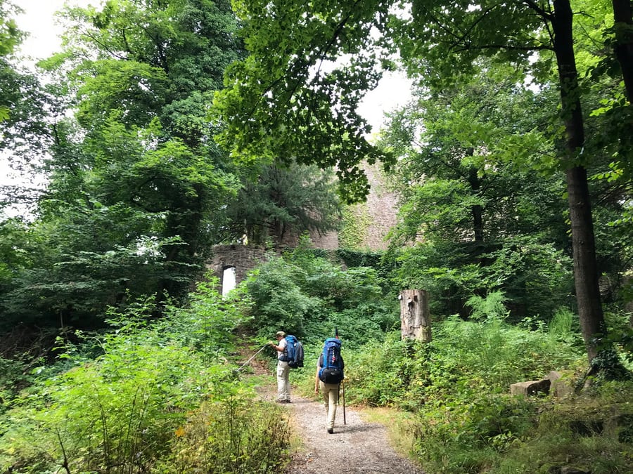
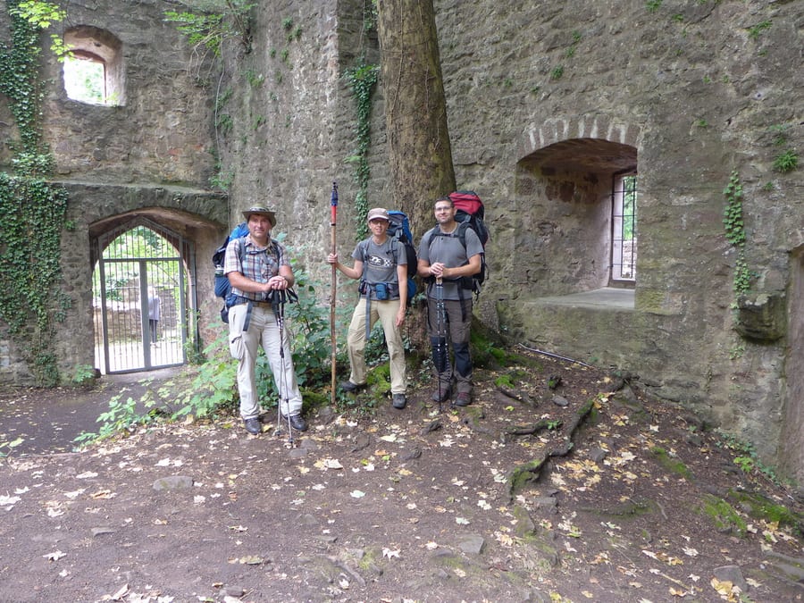
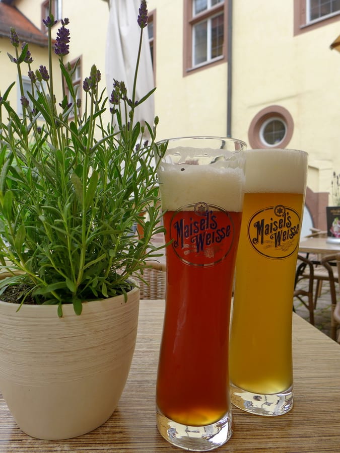
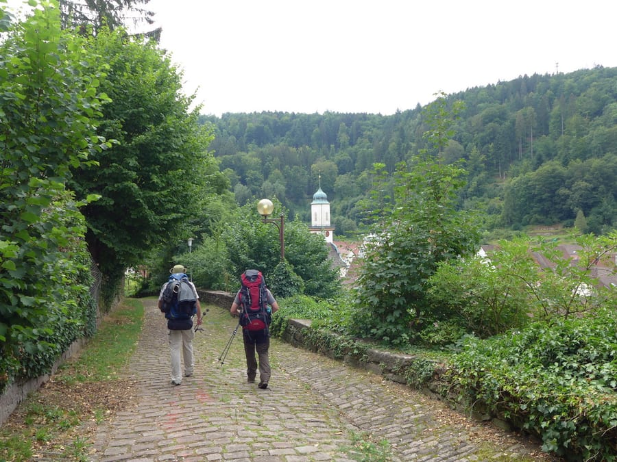
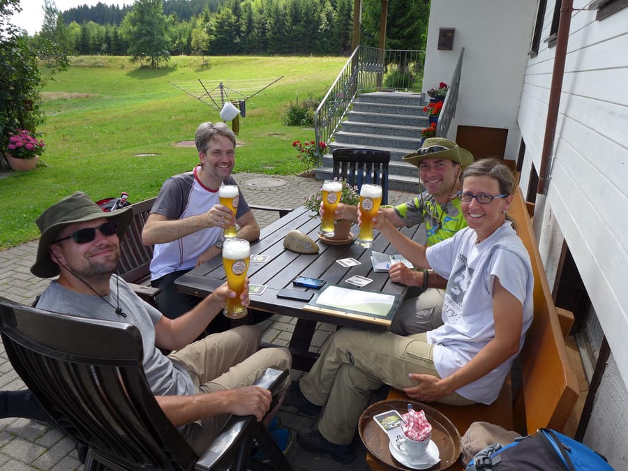
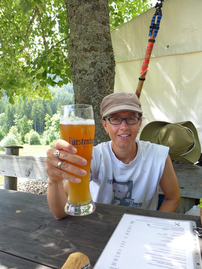
On the way, we also meet two girls with horses. By chance, the otherwise locked inner courtyard of the castle is open, and a little later our plan for our first wheat beer at the restaurant works out perfectly. Refreshed, we follow the guidebook's directions “down on unpleasant cobblestones” to Neuenbürg and continue towards Dobel. The sun is still shining and we meet several hikers.
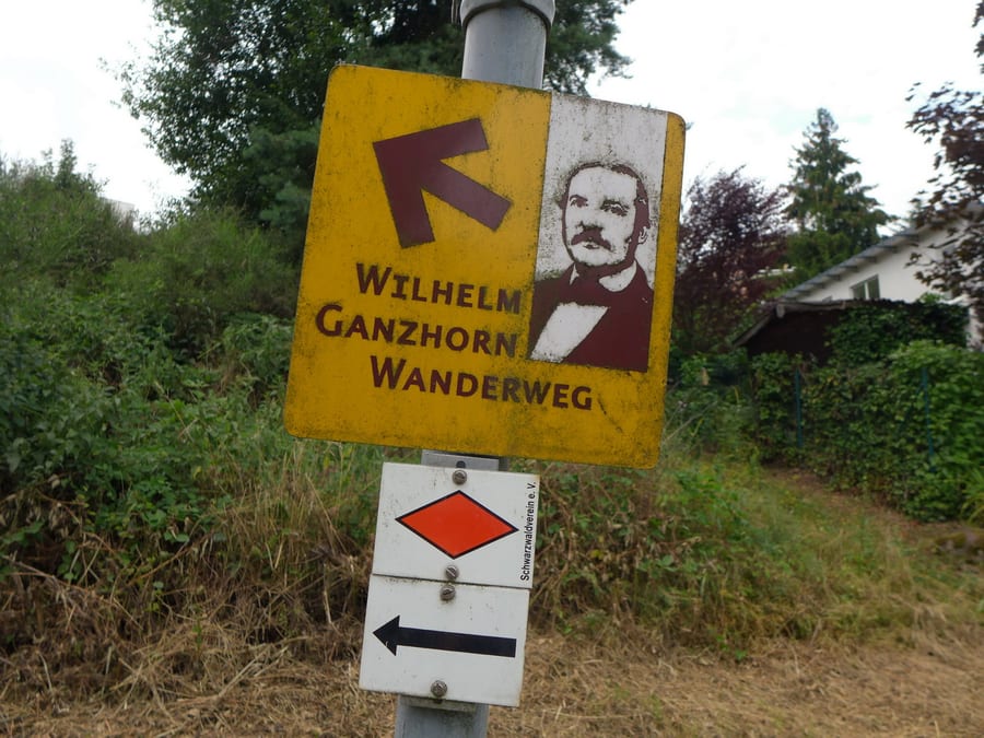
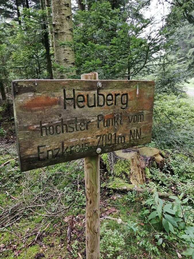
On the Wilhelm Ganzhorn hiking trail (since Oli seems to have mobile reception just about everywhere, we listen to “Im schönsten Wiesengrunde” along the way), we pass Schwanner Warte and reach Heuberg, the highest point in Enzkreis at 709.1 m, even if the sign describes it differently, grammatically speaking.
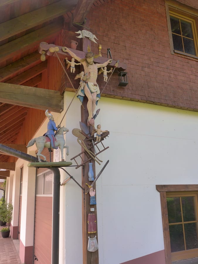
The trail by the natural monument “Volzemer Stein” is decorated with a number of more or less attractive angel figurines and pictures. In the forest, we meet a forester and his wife. He asks us to say hello to the other two foresters (actually, one forester and one forestry equipment dealer) and their dogs if we run into them.
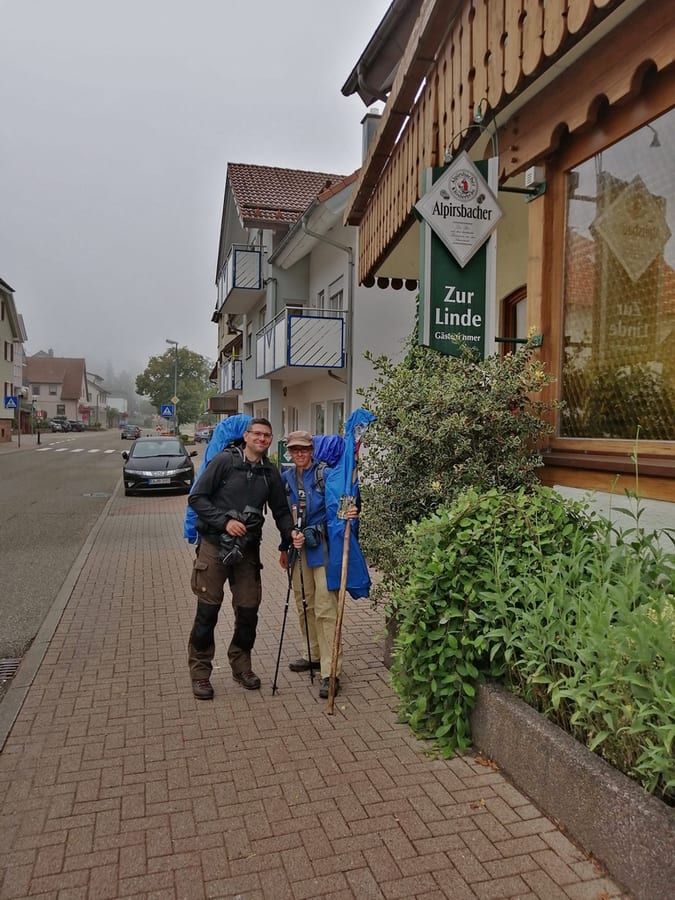
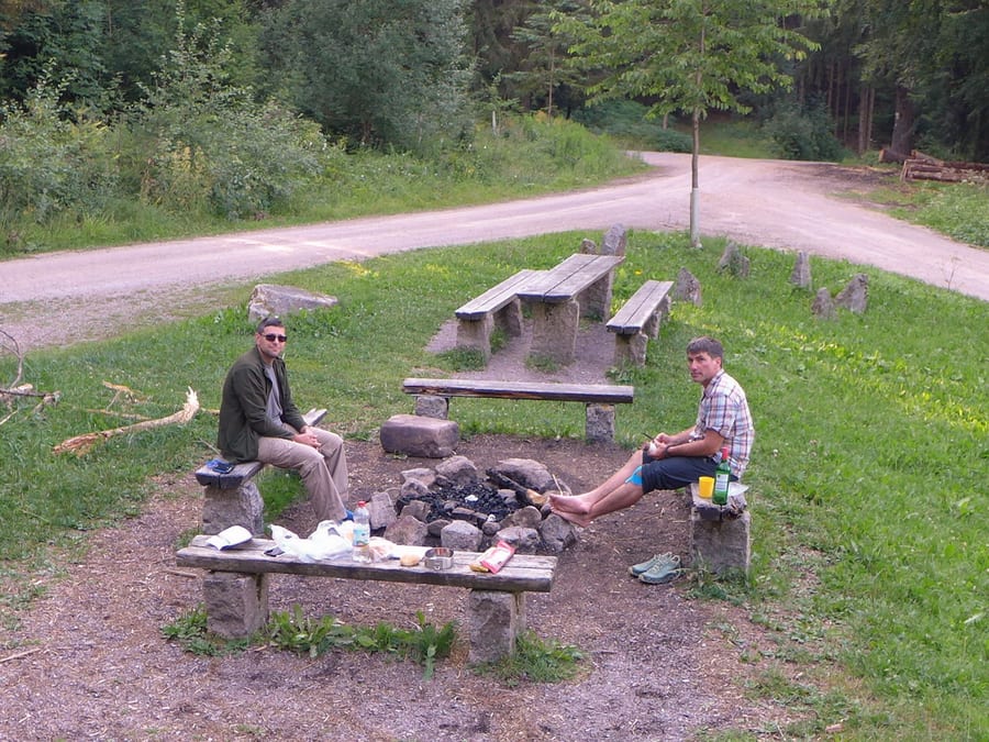
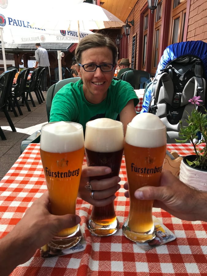
Just before Dobel, it finally starts to rain. We take refuge at the Linde, where we have Kässpätzle and Maultaschen with plenty of delicious wheat beer. They have postcards there too. Everything is great so far, apart from the weather.
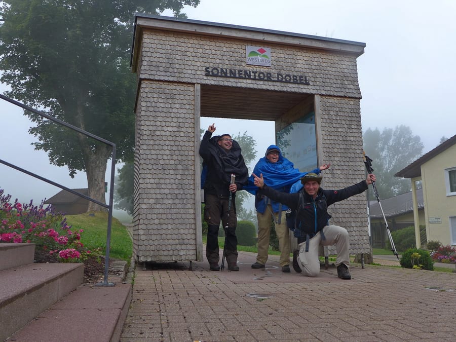
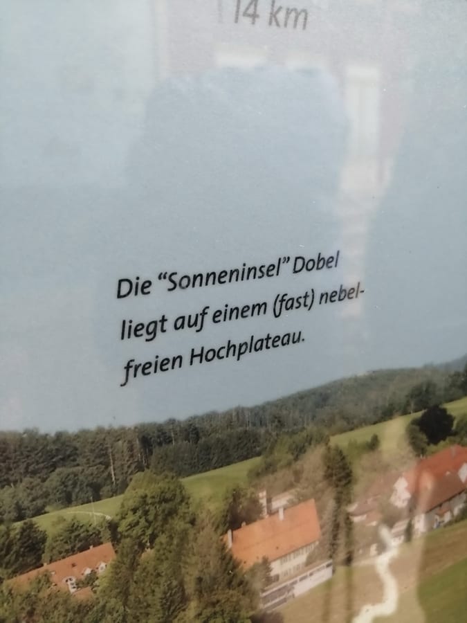
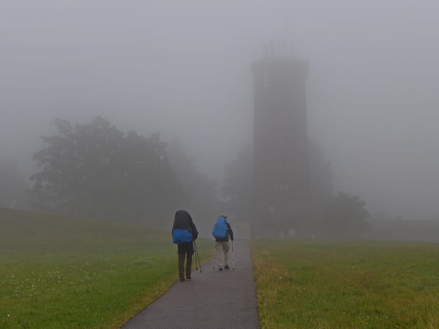
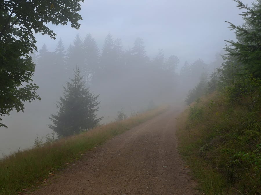
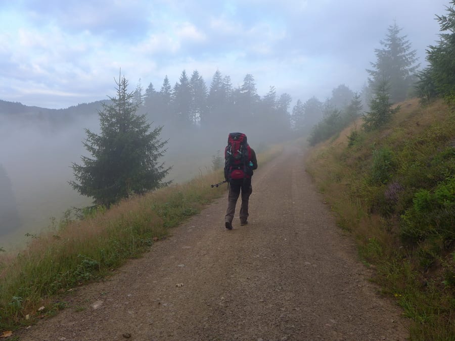
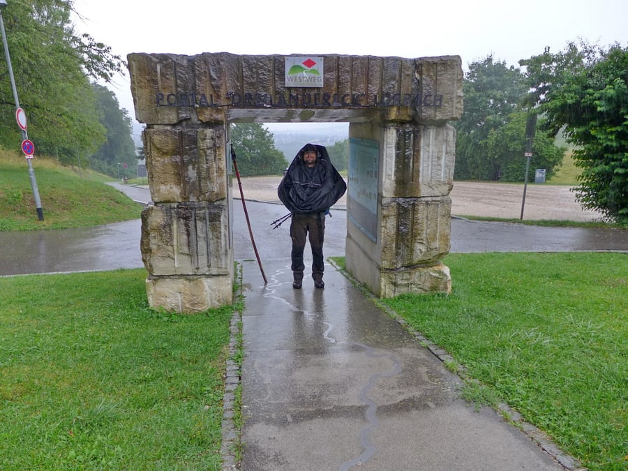
At around 7 p.m., we set off again. The Dobel Sun Gate is shrouded in friendly fog and drizzle. We read the description of the place on the information board out loud several times: The “sunny island” of Dobel lies on a (nearly) fog-free high plateau.
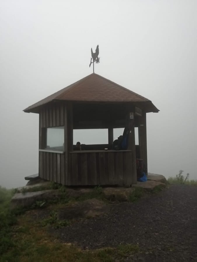
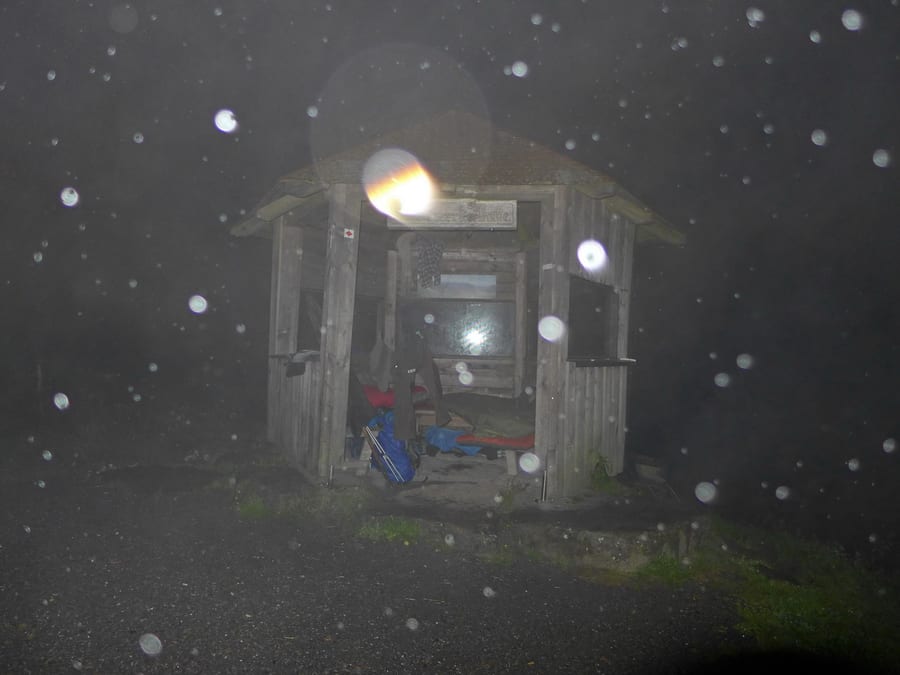
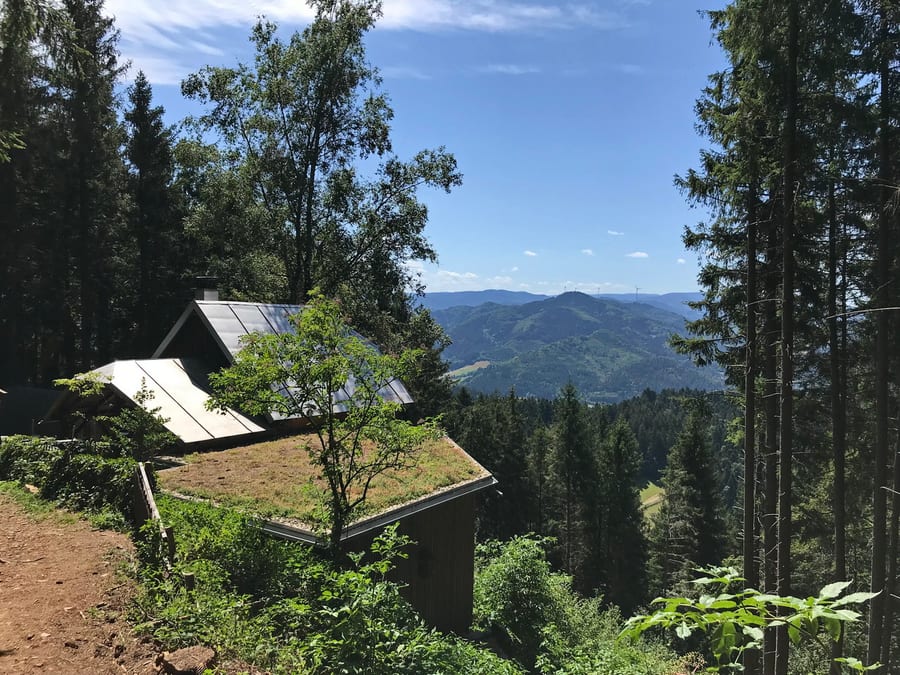
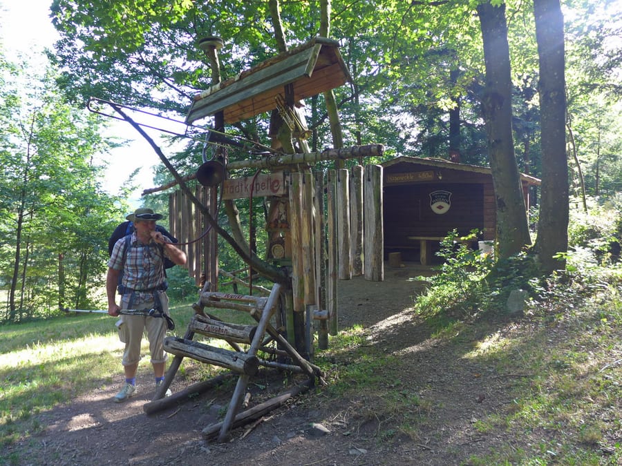
Oh well, we pull on our rain ponchos and still have fun. The water tower is lost in the thick fog; you can only make it out vaguely. It's 8 p.m. and we still haven't sorted out anywhere to sleep. When we arrive at the shelter at Weithäusleplatz at 8:30 p.m., the dogs belonging to the two foresters we were told about greet us with barking. We are offered a place to sleep, but keep going because the weather is getting even worse and, according to our plan, we want to reach Schweizerkopfhütte anyway. It dawns on us that it would be “a little annoying” if it were already occupied. Fortunately, the hut is only about 1.5 km farther on and is empty when we arrive. Our phone welcomes us with “Welcome to France.” All that's missing is the wine.
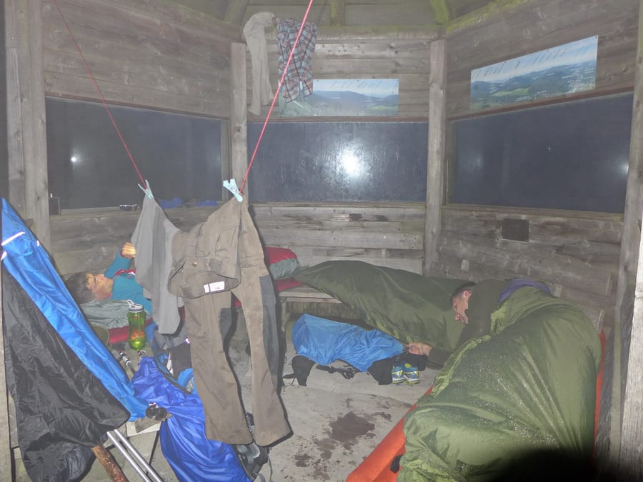
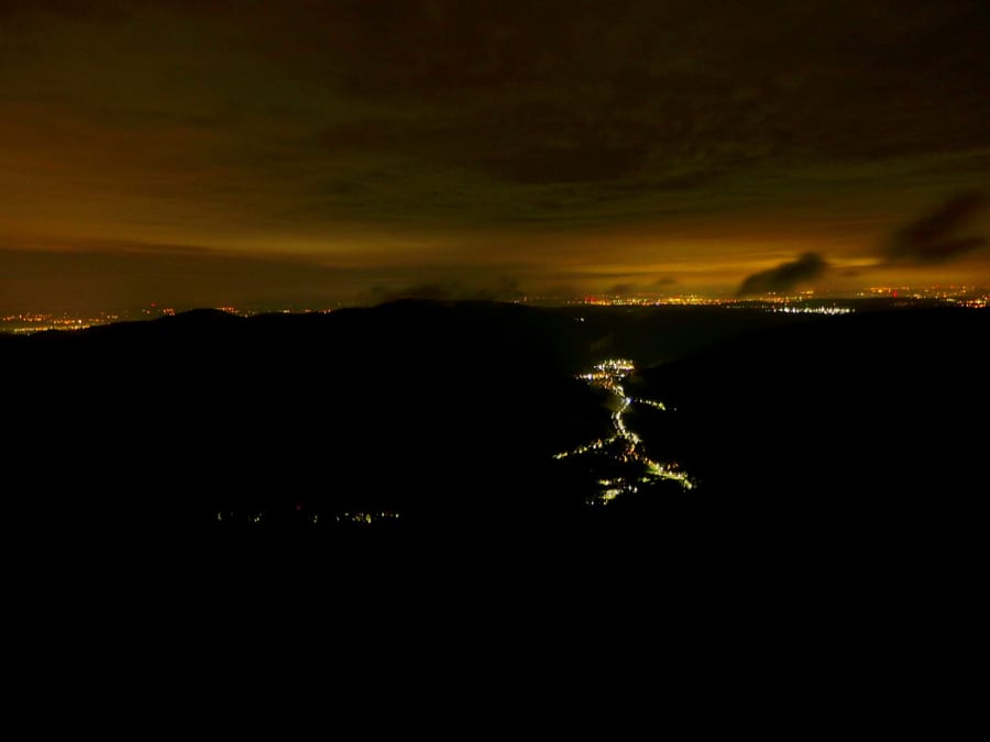
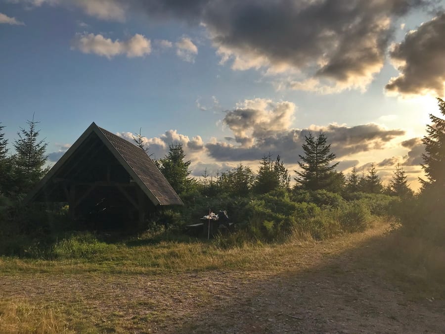
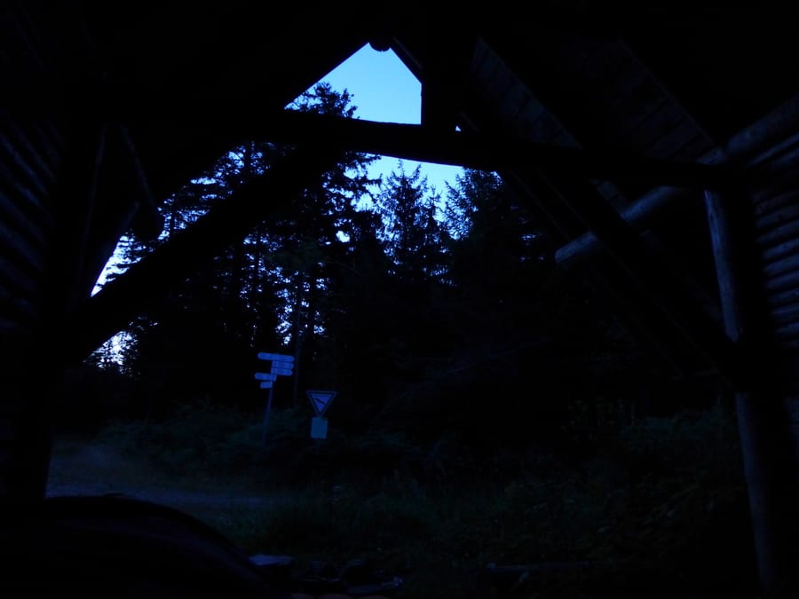
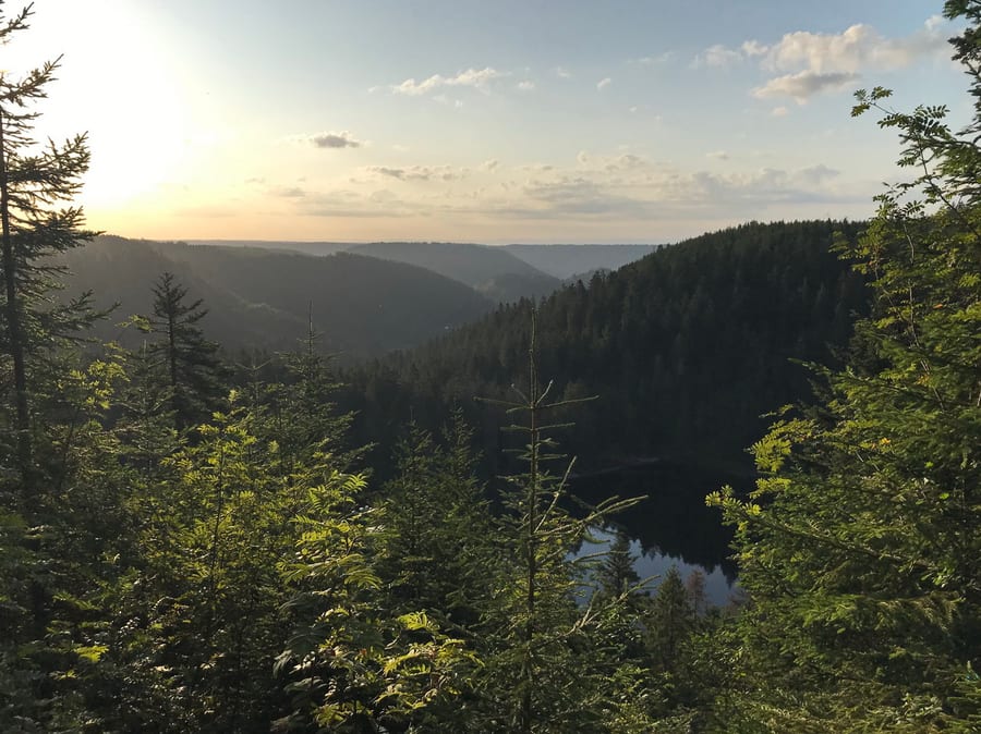
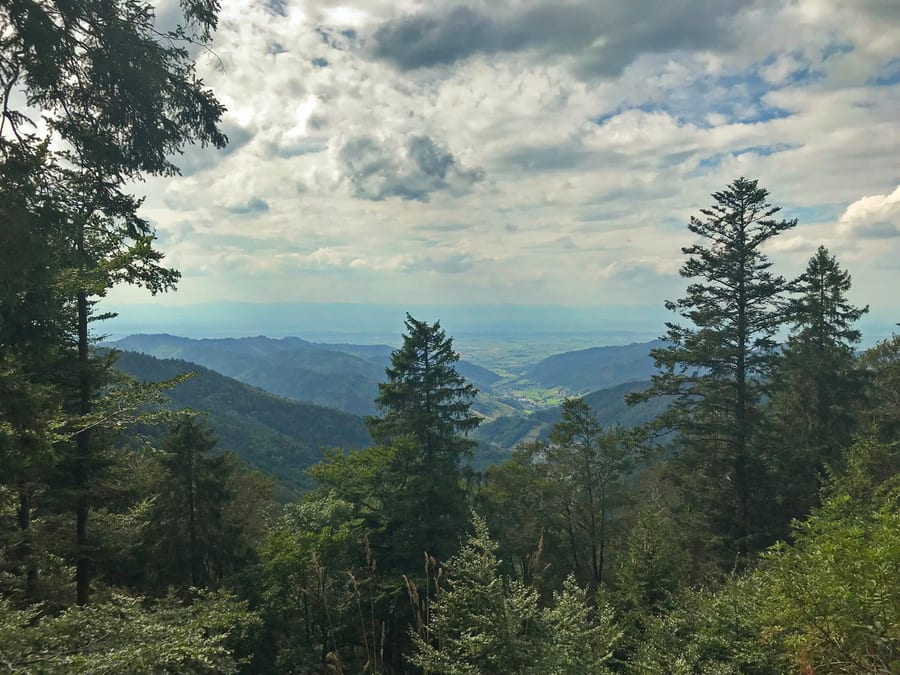
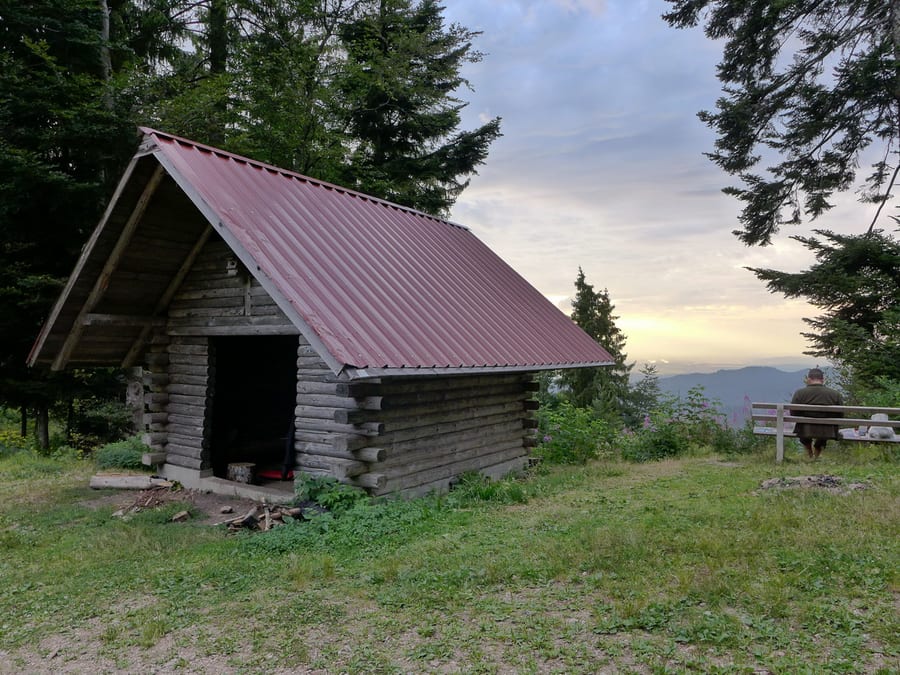
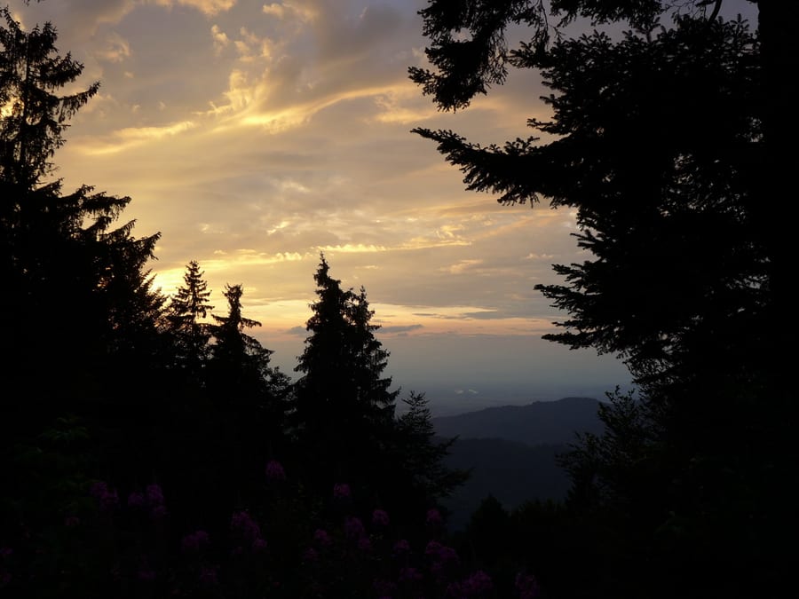
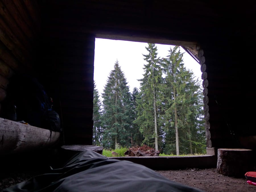
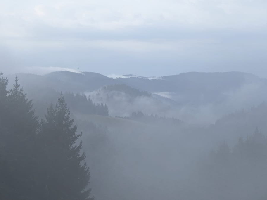
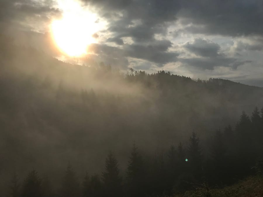
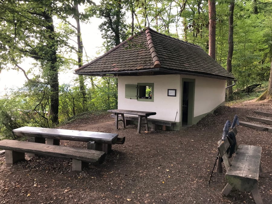
Unfortunately, the benches are very narrow, and their L-shaped layout makes the sleeping spaces rather cramped. At least they have the described Plexiglas windows, so we stay reasonably dry during the night. Anyone who needs the toilet at night is rewarded with a great view of the valleys, since the weather kindly starts to clear a little.
Monday, 29 July 2019 - Day 2
Schweizerkopfhütte to Wegscheidhütte beyond Forbach
24km
End of stage at kilometre 55
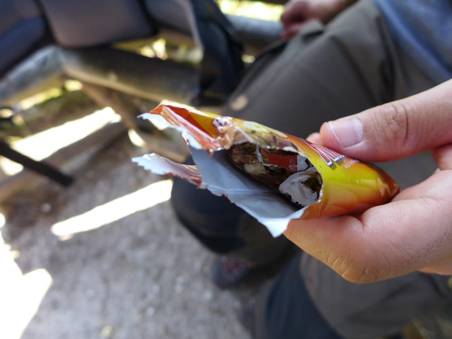
The night is short, and by 6 a.m. at the latest everyone is up. By morning, a mouse has eaten all the leftover food from the previous occupants and, as we find out later, half of Markus's granola bar too.
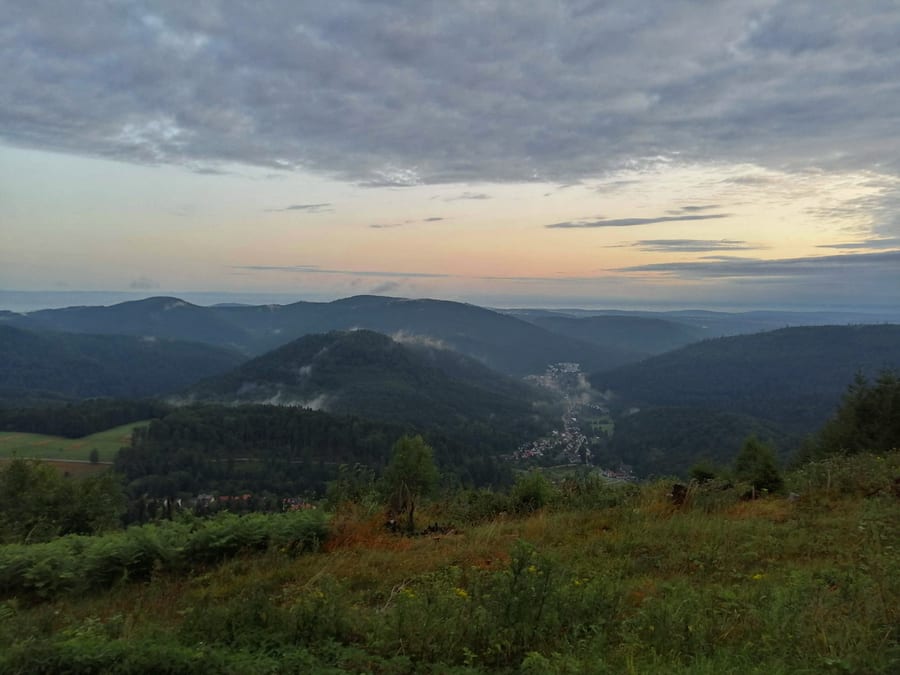
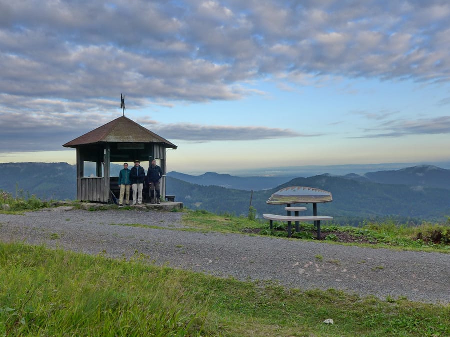
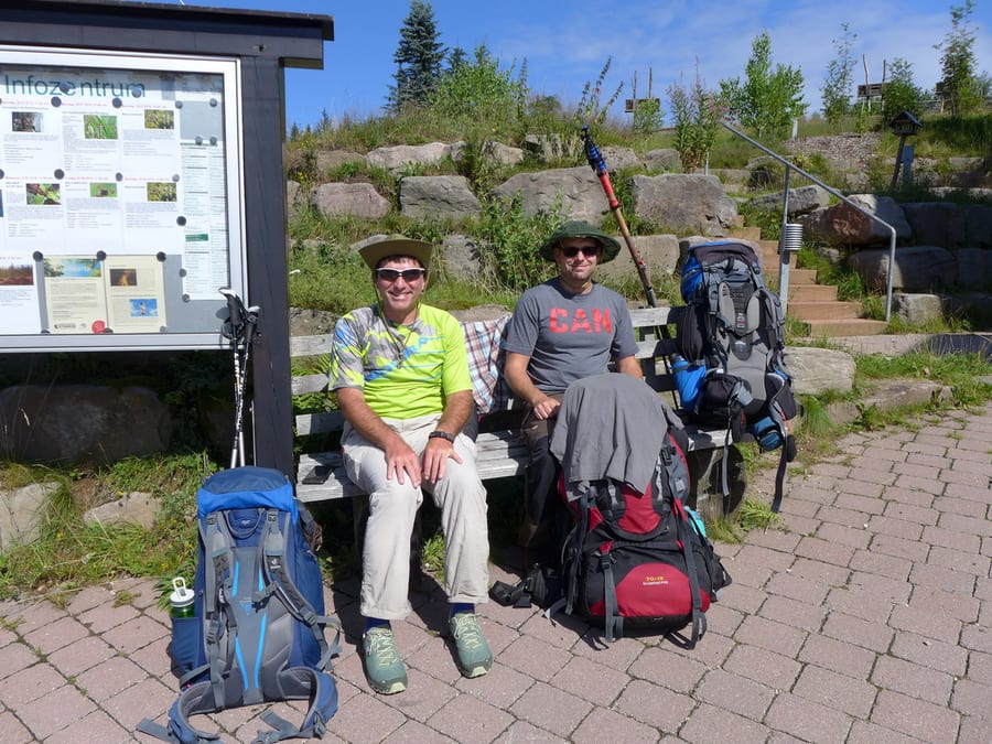
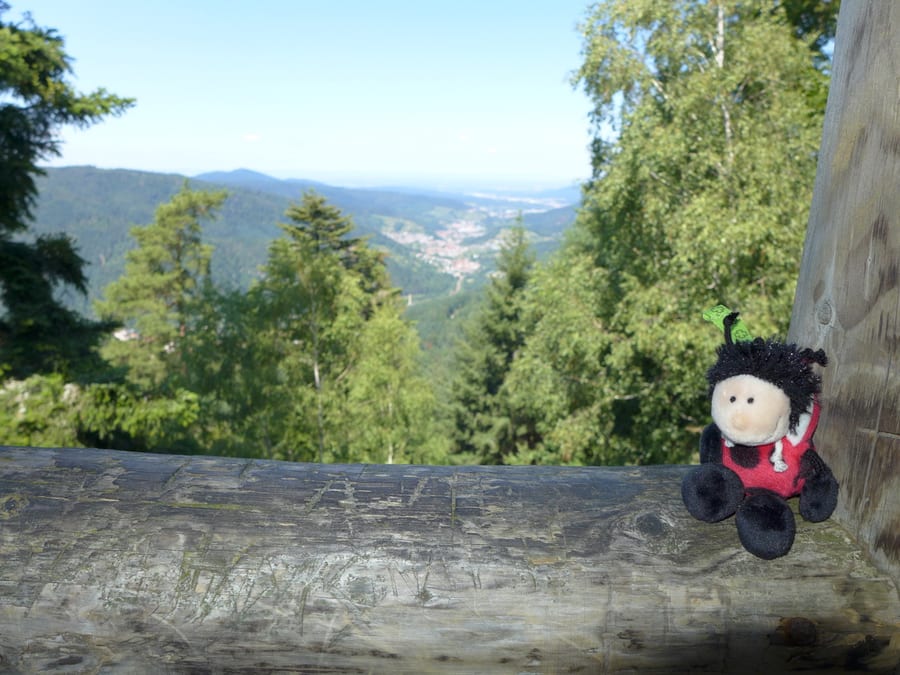
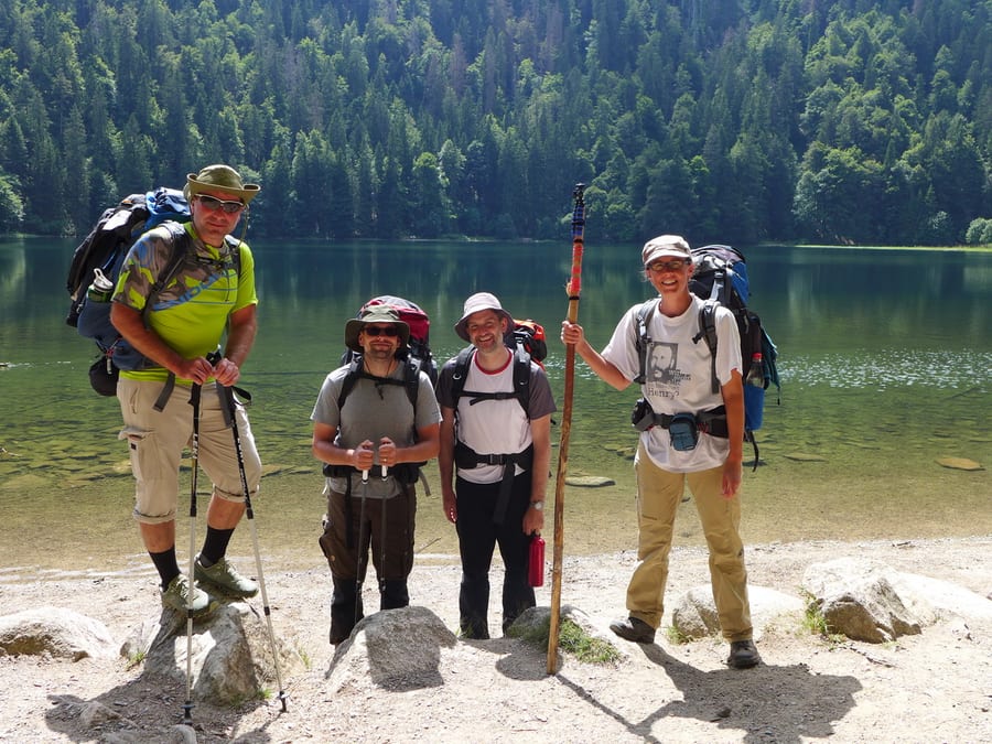
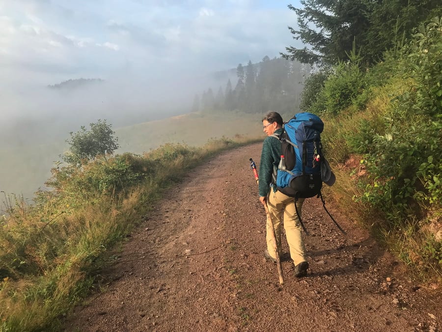
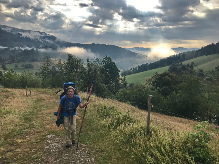
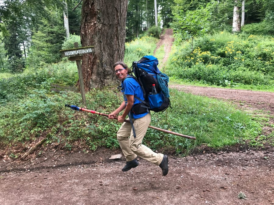
We quickly pack our damp things, but there is still time for a few photos with something other than fog in the background. We happen to find a geocache beneath the hut.
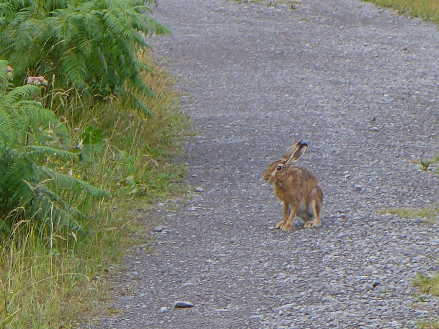
A hare doesn't notice us and keeps hopping closer and closer. Time to cover some ground.
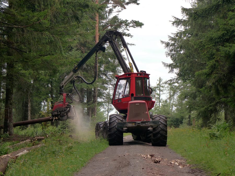
There is a lot of sawing going on in the forest. At Kreuzlehütte, which is unfortunately locked and not staffed, we meet the foresters. They wonder where we spent the night, because two guys were drying their things in the hut when they passed by this morning. Where did those guys come from?
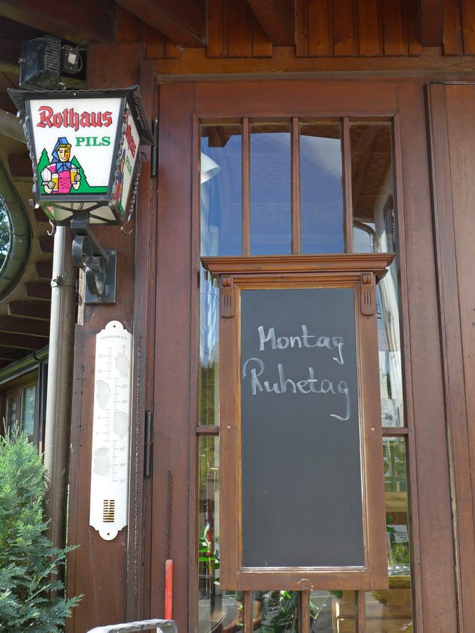
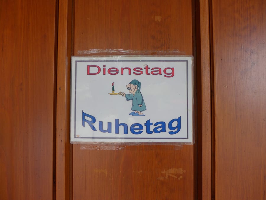
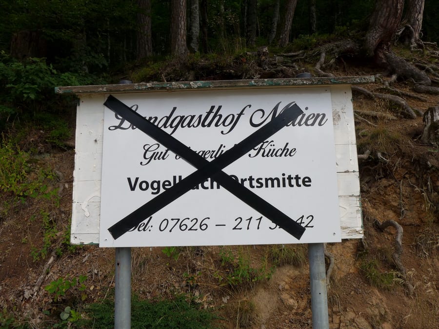
We arrive in Kaltenbronn at just the right time for a second breakfast or a first wheat beer, only to discover that it is closed on Mondays. We don't yet realise that this is the start of a curse we won't be able to shake until Basel.
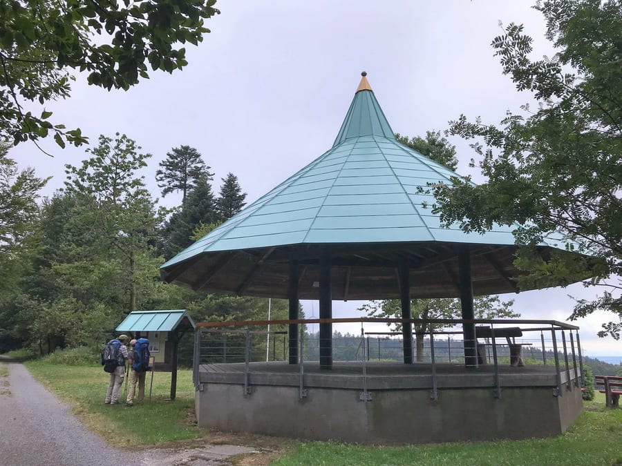
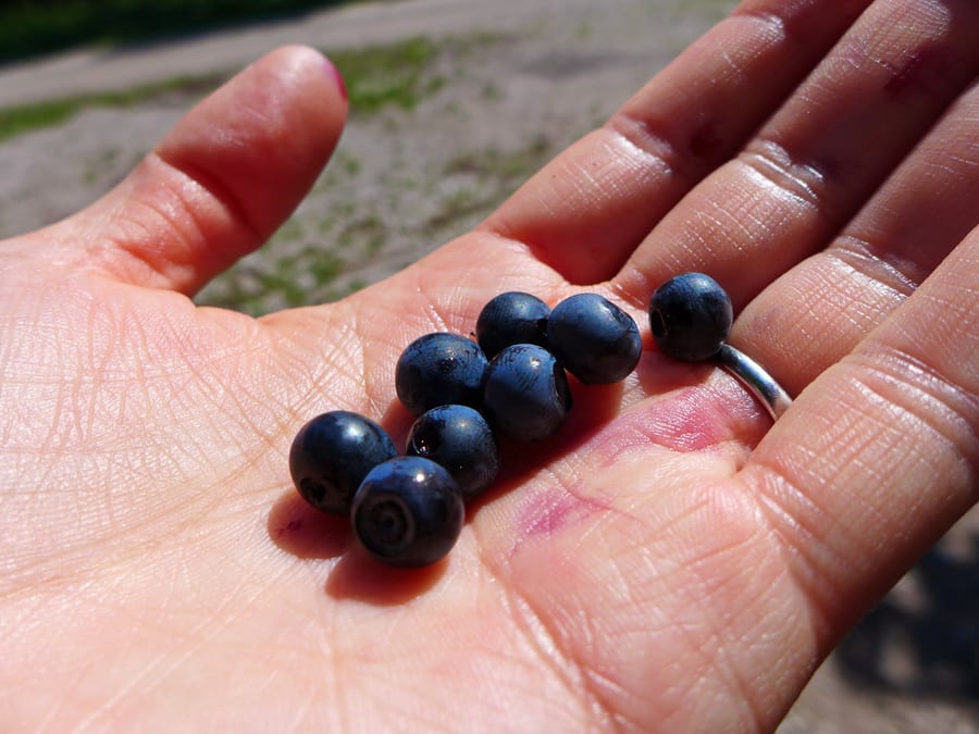
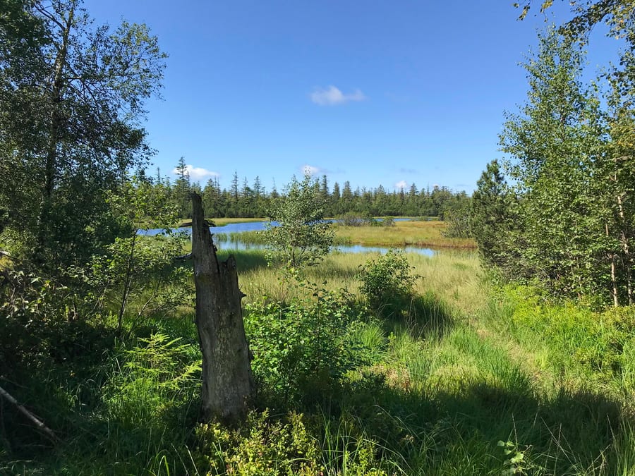
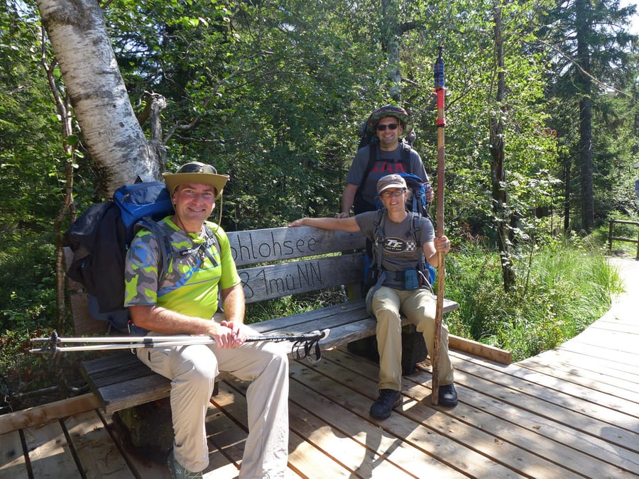
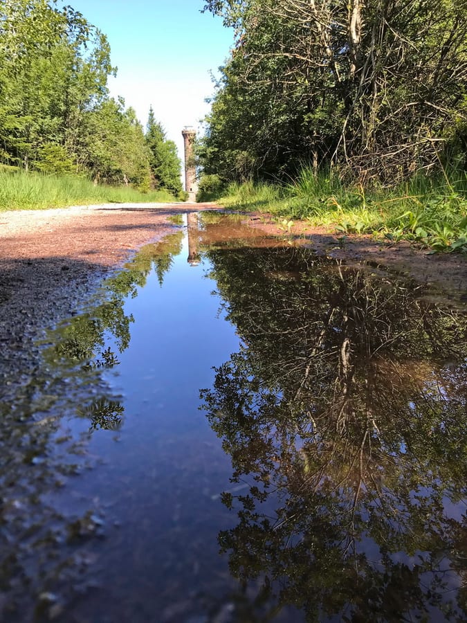
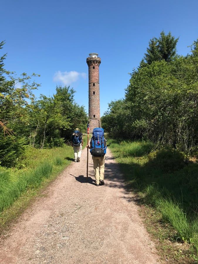
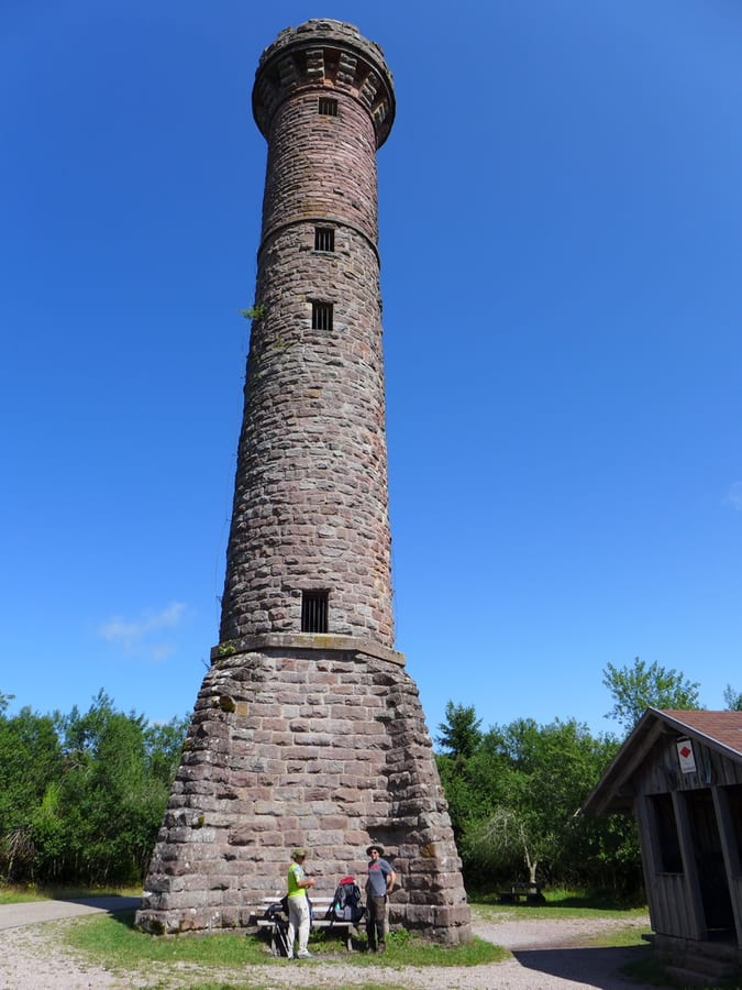
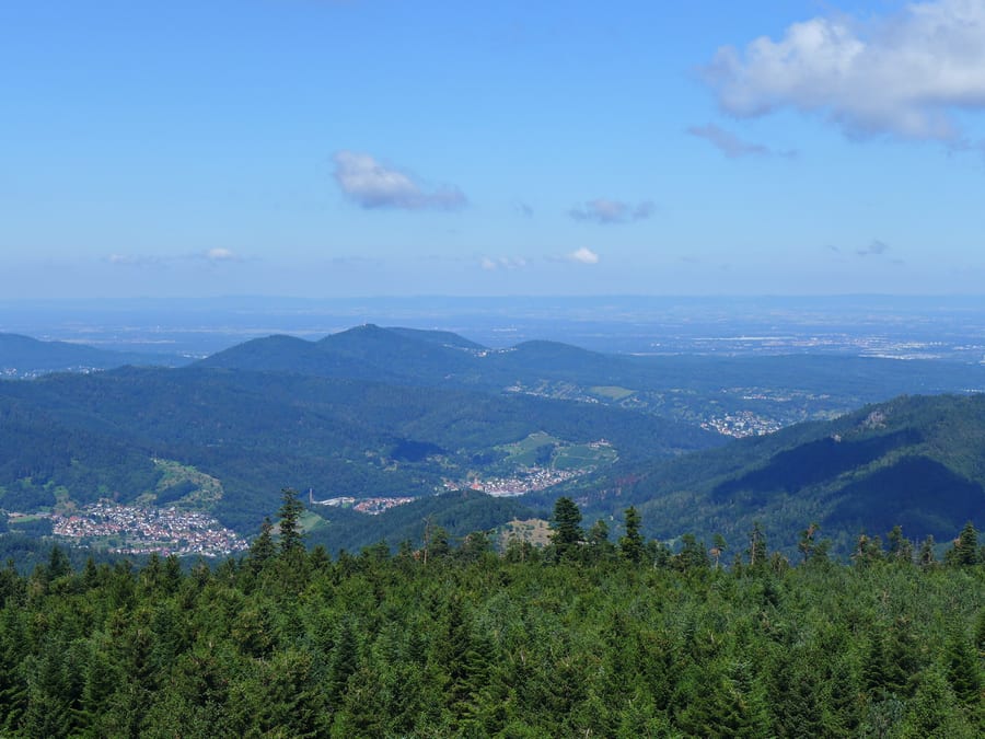
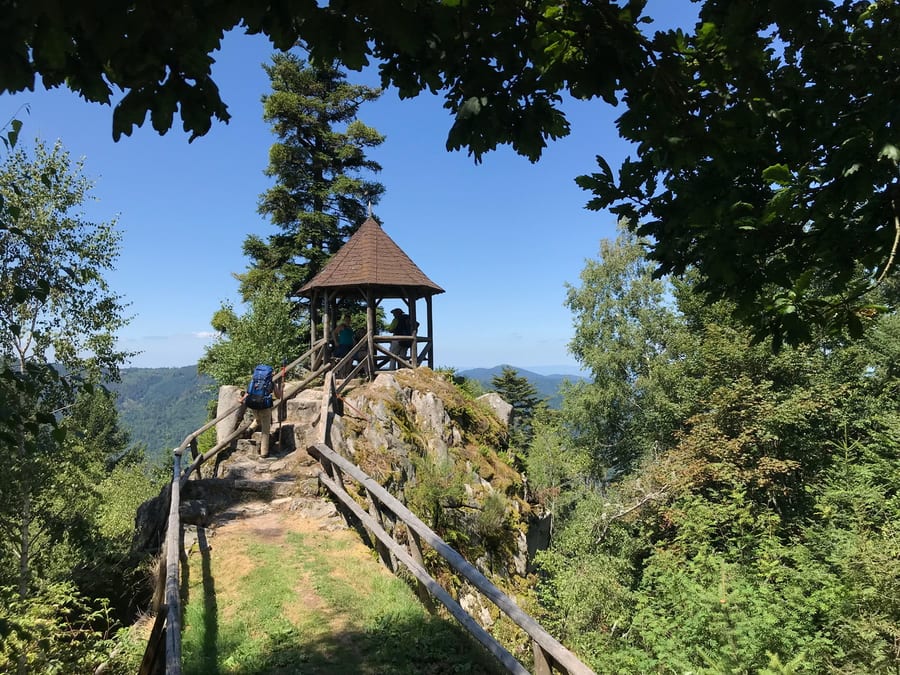
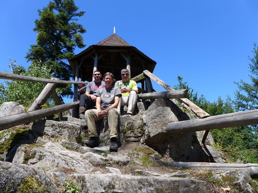
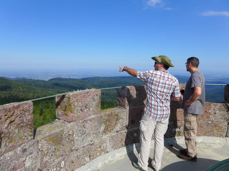
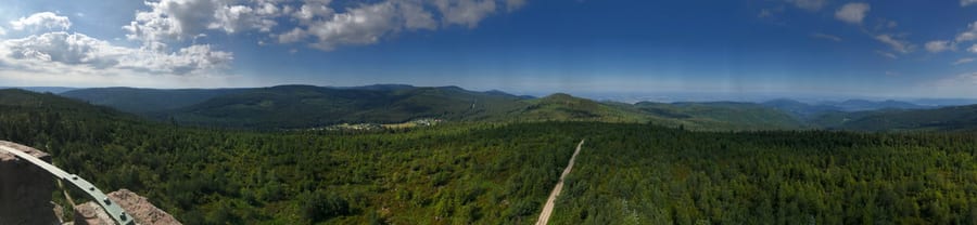
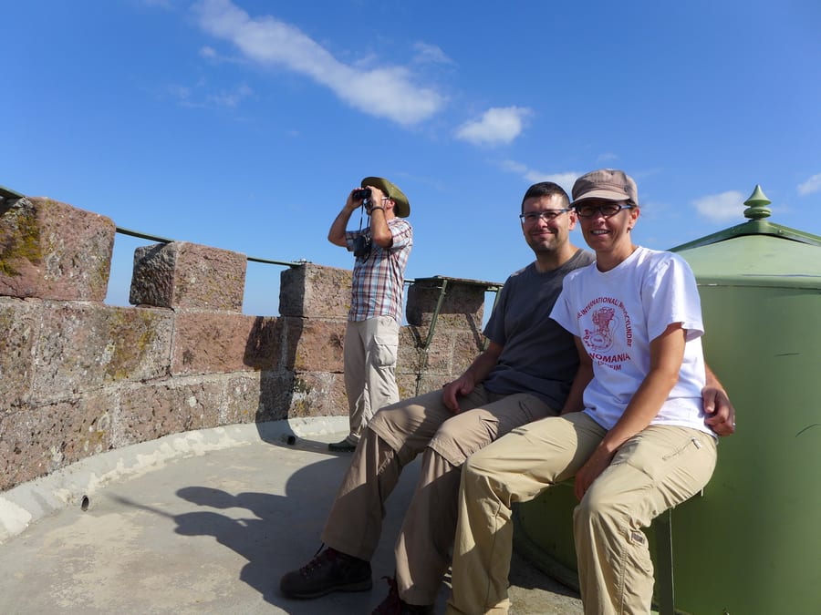
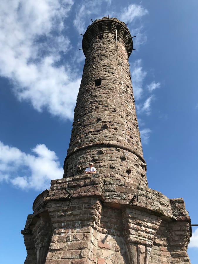
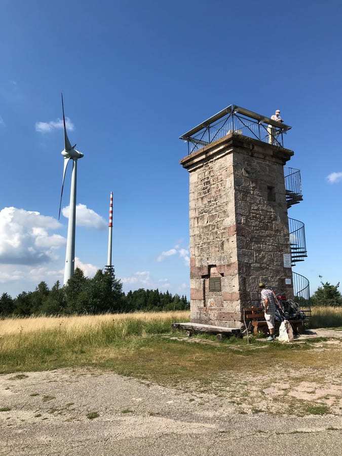
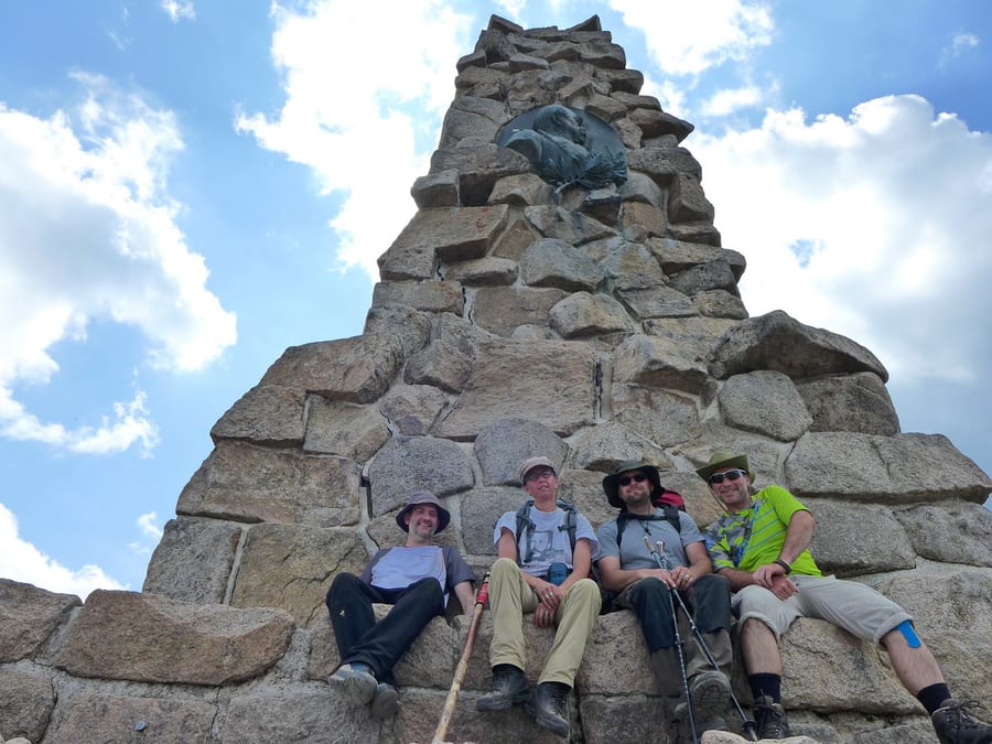
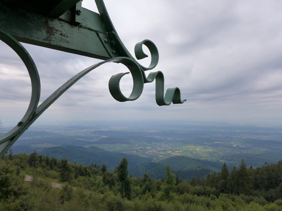
So we head steeply up to Hohlohsee (981 m above sea level) and eat a few blueberries along the way. At Hohlohturm (Kaiser Wilhelm Tower), we climb up to 1,012 metres for the first time and can see how far we still have to go. We also take a short break at the pavilion at Latschigfelsen.
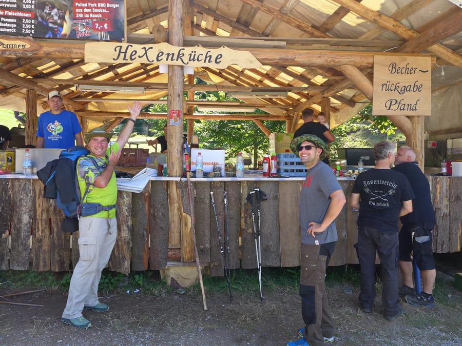
When we come down to Gausbach, they are just dismantling the weekend's witches' festival. The beer fridges are unfortunately already switched off, but they fire up the grill for us again and we get some cold sparkling water as well. Thank you!
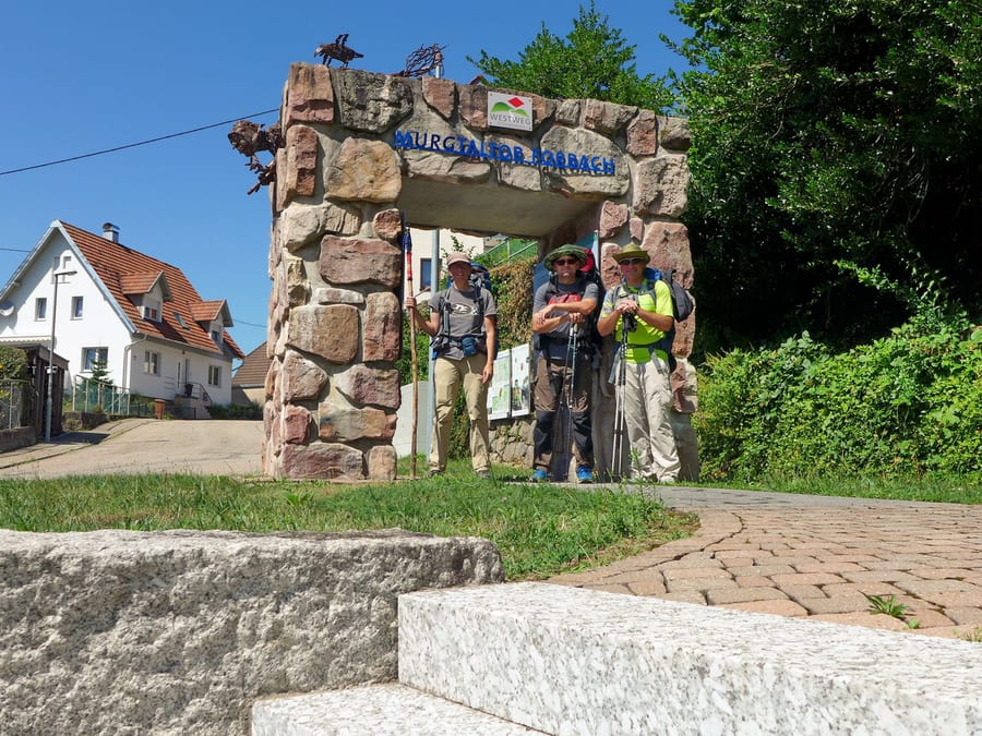
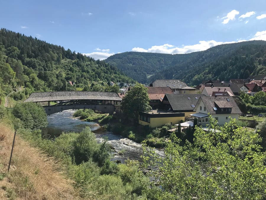
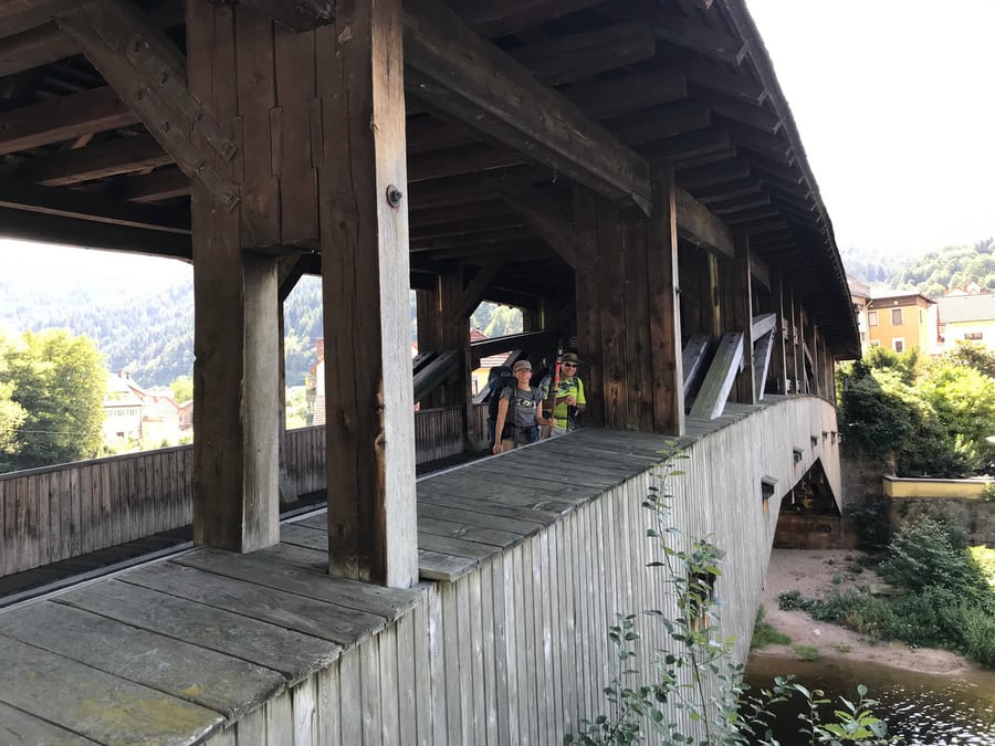
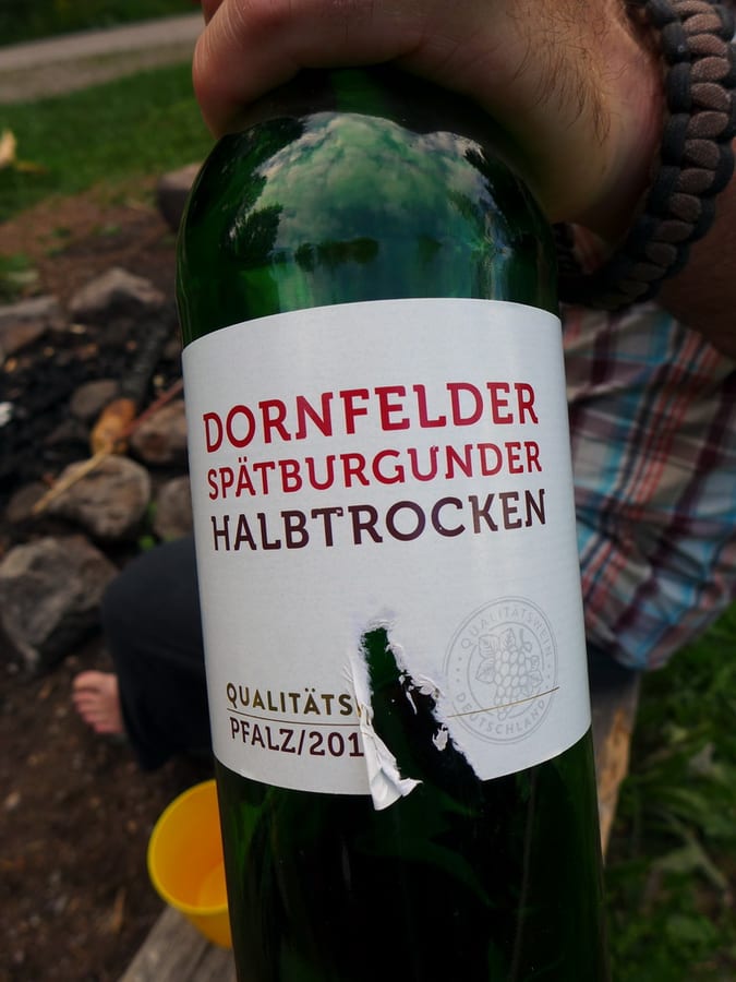
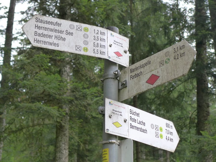
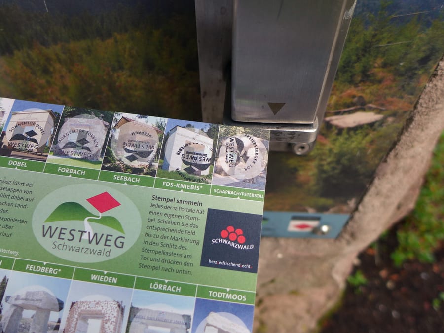
Refreshed, we reach Murgtaltor Forbach, stamp our cards and take the obligatory photos. Drawn in by the wheat beer of an experienced Westweg hiking guide, we sit down at the station and have one too, as if it were completely normal for the pizzeria there to be open. We pick up a little more food at the Netto next door. This shop is one of only two supermarkets directly on the Westweg between Pforzheim and Basel, by the way. After crossing the historic wooden bridge over the Murg, we now face a steep climb. On the way, the foresters are lying in the grass with their dogs, taking a break. That improves our chances of getting the coveted Wegscheidhütte, which we have picked out for tonight. (A useful site worth mentioning here is “Shelters on the Westweg”; we were happy to add to it with our photos of all the shelters we could find. We also took interior photos wherever possible, to make it easier to tell whether a hut is suitable for sleeping in.)
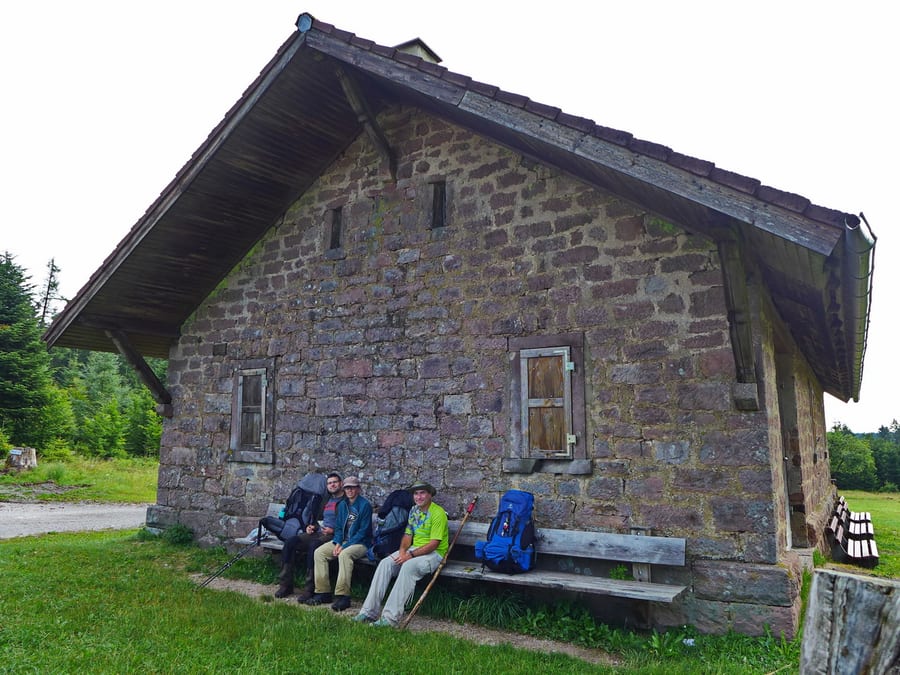
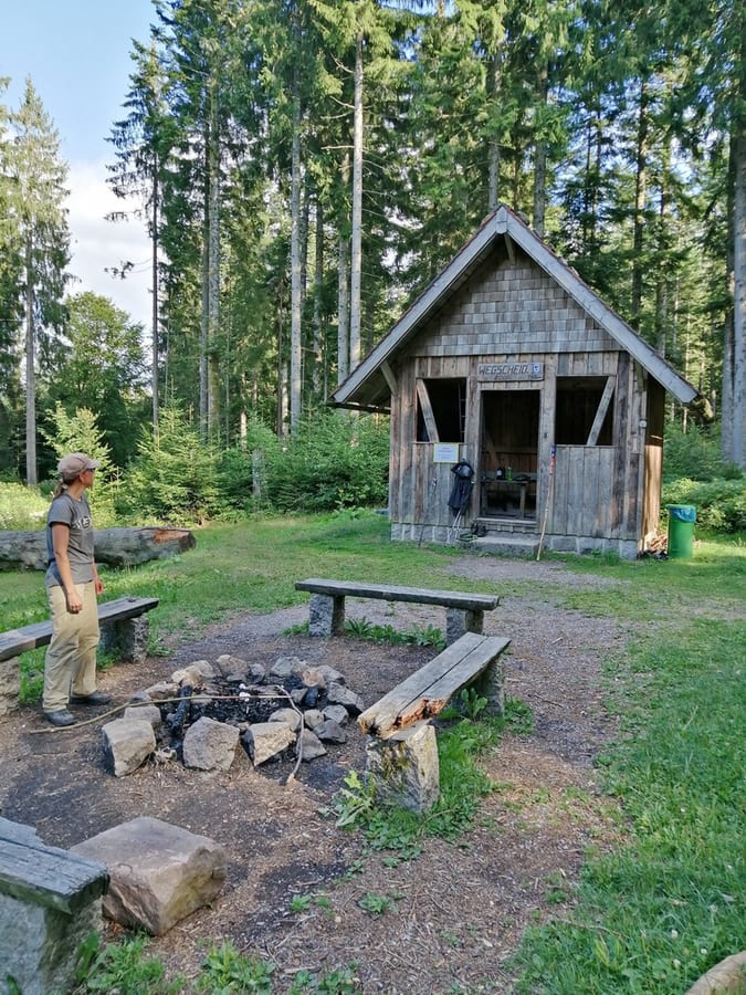
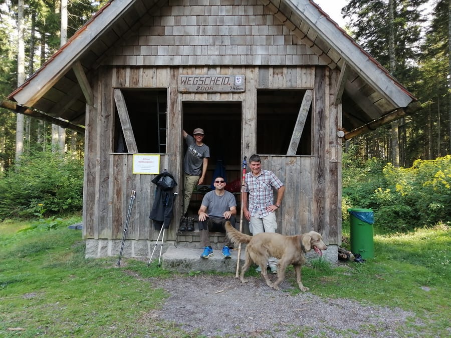
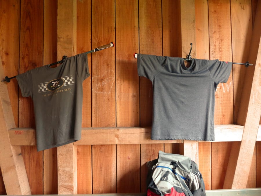
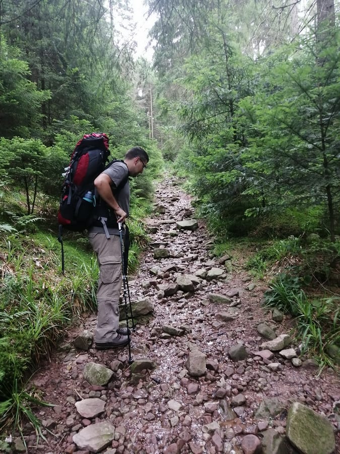
The trail keeps climbing, and there is still no sign of the hut. We hear voices behind us and send Oli ahead to secure it. The guys with the red sleeping mat overtake the third of our group, who aren't used to such steep slopes, but Oli and Markus have already settled into Wegscheidhütte. It's great! There is a mezzanine for sleeping, tables and benches inside and out, and even lots of coat hooks. If it weren't for the no-grilling sign, you could even barbecue. It turns out that the guys with the red sleeping mat spent last night in the grass about 20 metres from our hut. Why? A mystery—probably an early equipment test.
Shortly afterwards, the foresters arrive and admire our great hut. They decide to keep going and look for a hut somewhere by Schwarzenbachtalsperre. We offer them the good wine from Netto by way of compensation, and enjoy the rest later, just the three of us.
Tuesday, 30 July 2019 - Day 3
Wegscheidhütte to Darmstädter Hütte
26km, about 5 km beyond Mummelsee (26 km)
End of stage at kilometre 81
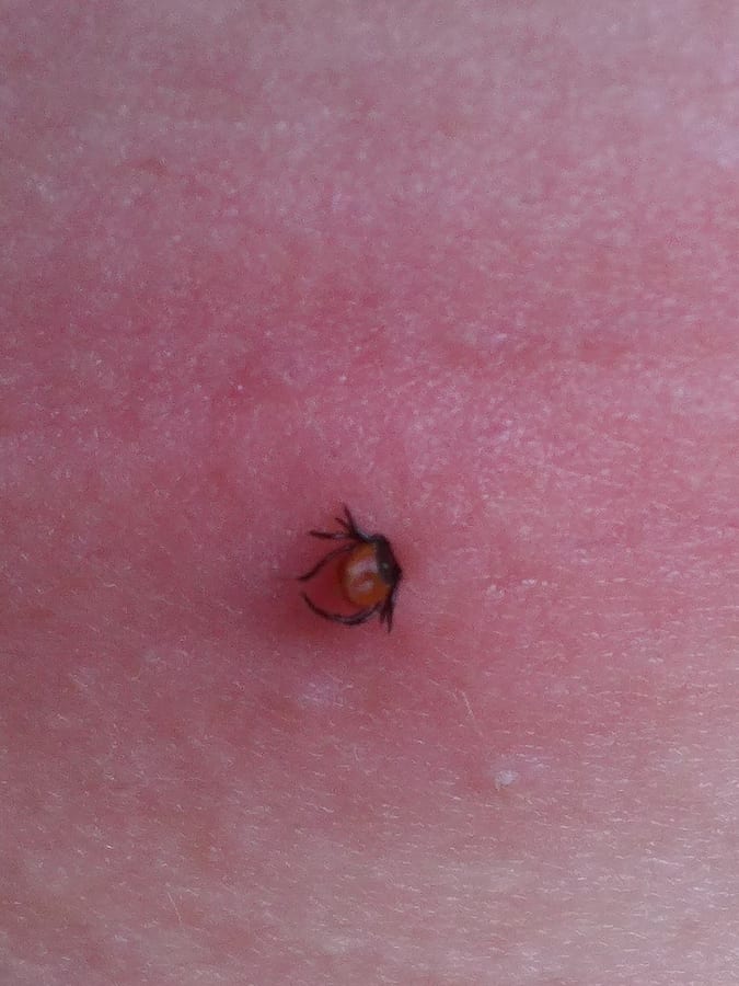
The peaceful night unfortunately ends far too early at 6:30 a.m. when we discover our first tick. We remove it quickly, but now we're all awake, so we might as well set off.
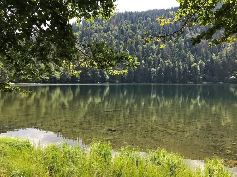
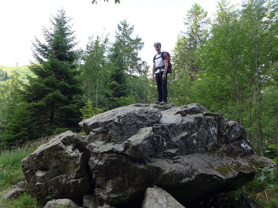
We plan to have our granola-bar breakfast at Schwarzenbachtalsperre, unaware that there is nothing nice there to sit or look at. Our alternative is a large rock bearing the optimistic sign “Two Lakes View.”
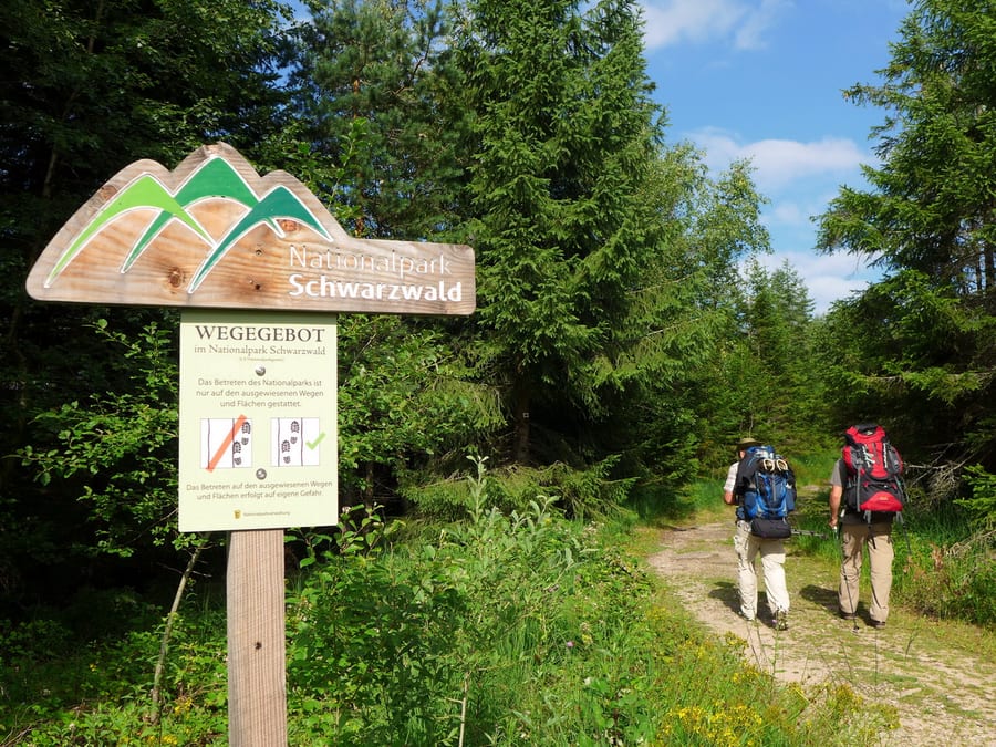
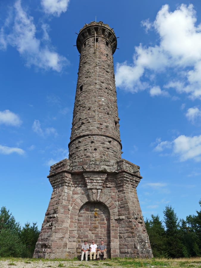
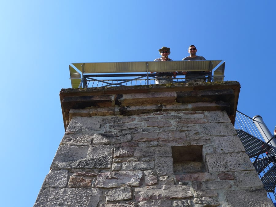
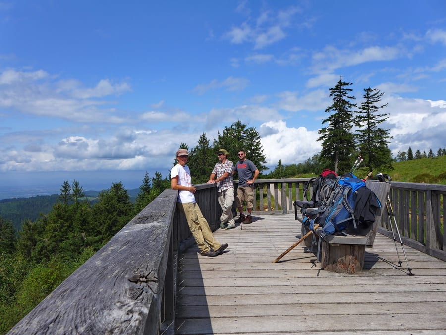
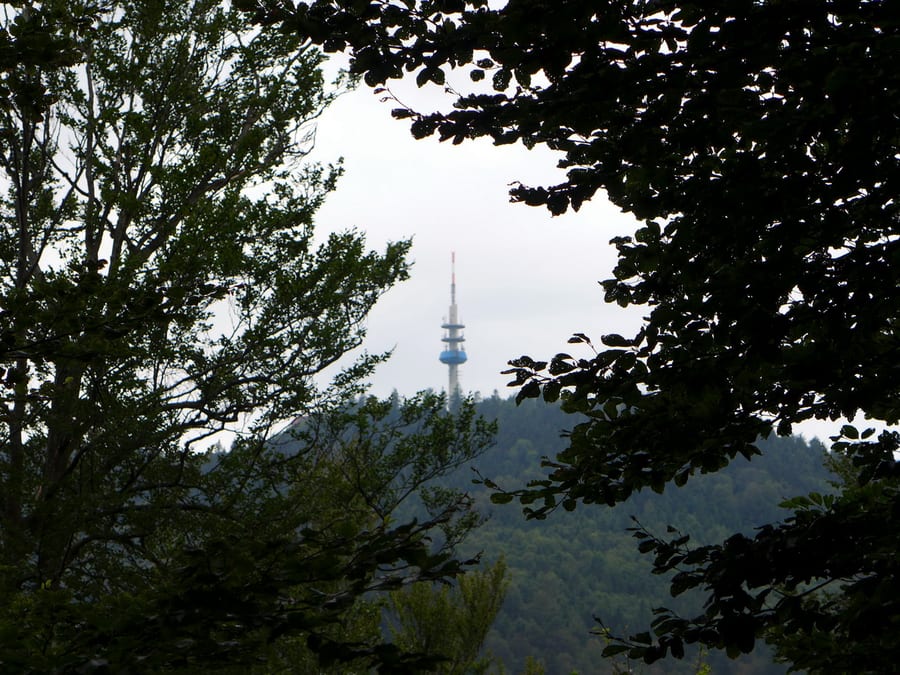
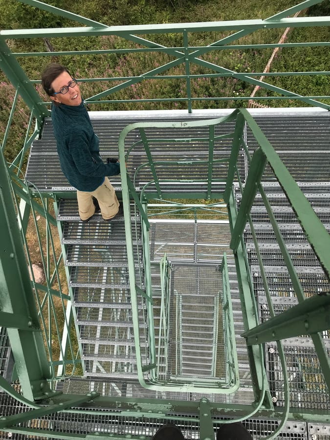
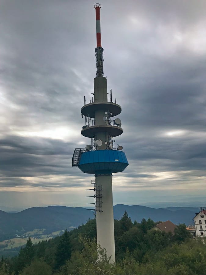
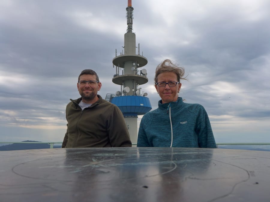
We enter Black Forest National Park and reach Badener Höhe at around 10 a.m. Despite aches and pains in all sorts of places, of course we climb this tower too. A friendly hiker carrying a full camera kit spontaneously throws himself on the ground to take a photo of us with the tower. Many thanks for going to all that effort!
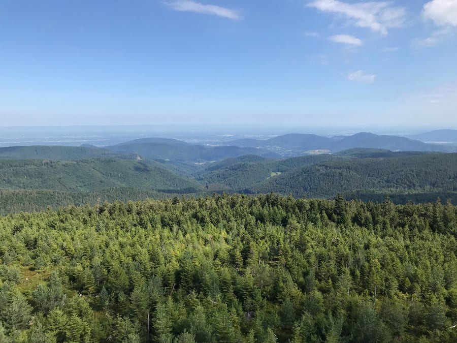
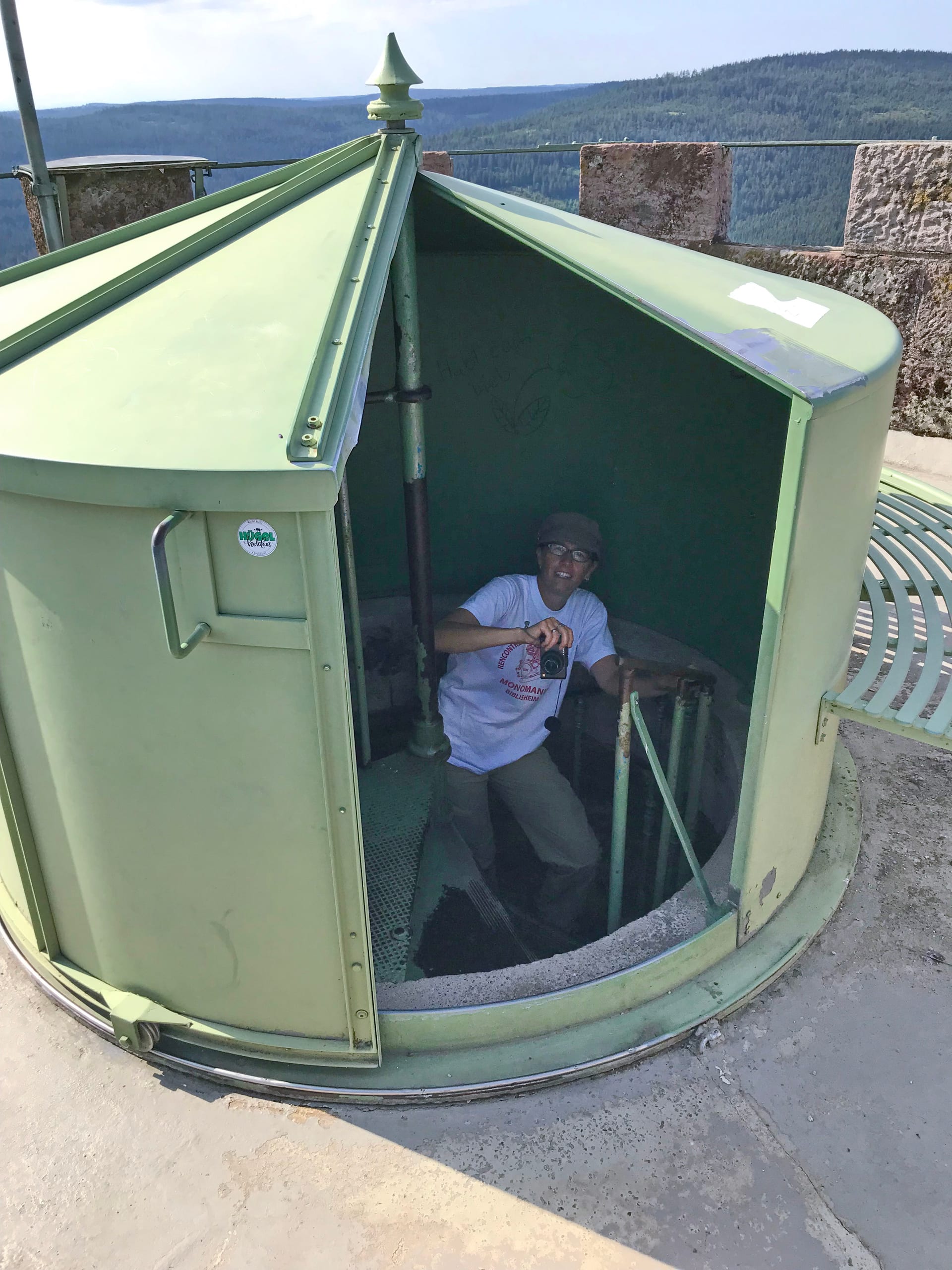
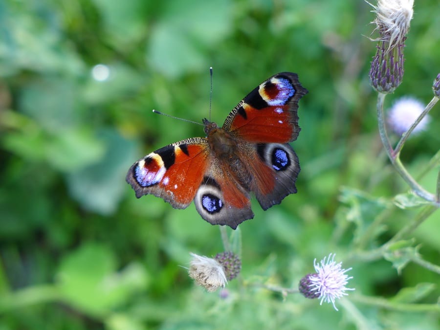
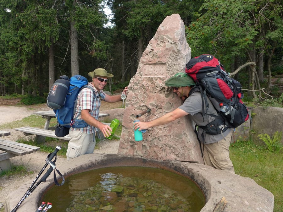
It's nice at the top of the tower, provided you're strong enough to open the heavy door. Naturfreundehaus only opens at 11:30 a.m. Oh well, no cappuccino here, then—just fresh water and a toilet, which, thankfully, is already open. The next place is closed on Mondays and Tuesdays. But we can take some great butterfly photos along the way.
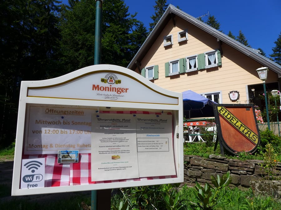
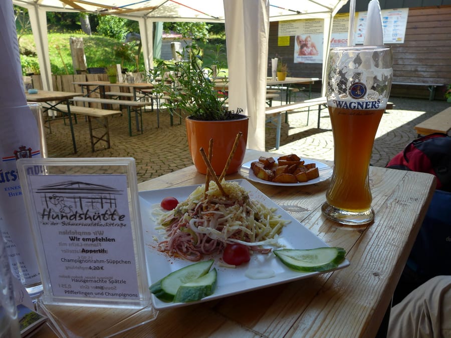
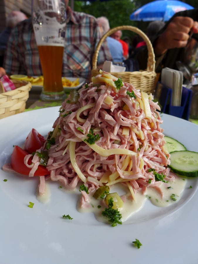
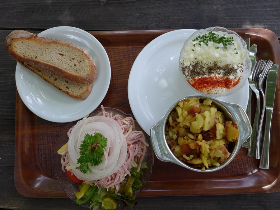
Then, a ray of hope: a sign at the edge of the forest says, “Hundshütte open.” At last, we really do get something to eat. It's far too late for breakfast by now, so we go straight for Wurstsalat and wild potatoes. We have cola, wheat beer and a cola-and-wheat-beer mix, just because it fits the mood. We are over the moon!
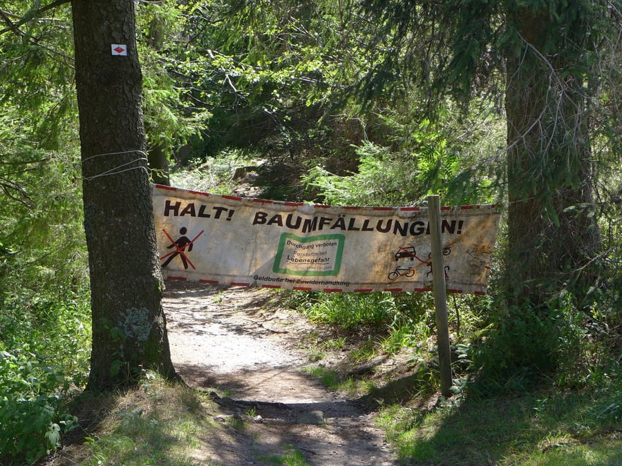
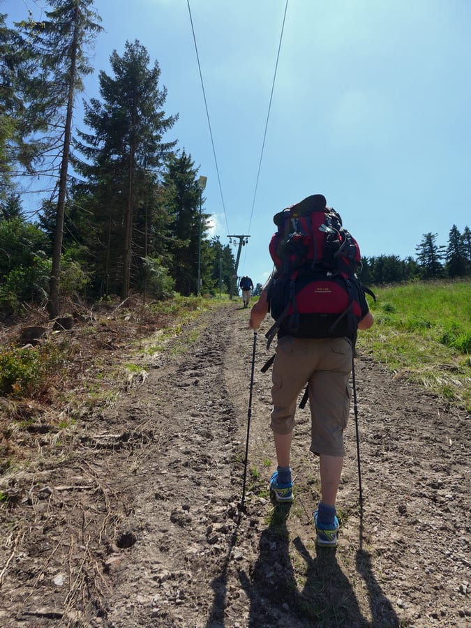
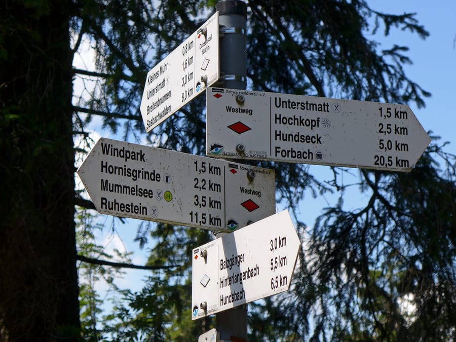
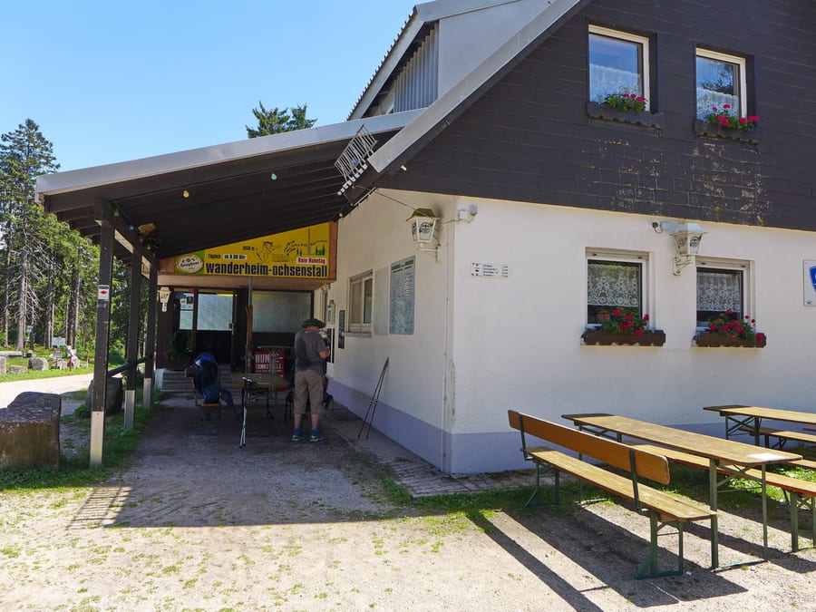
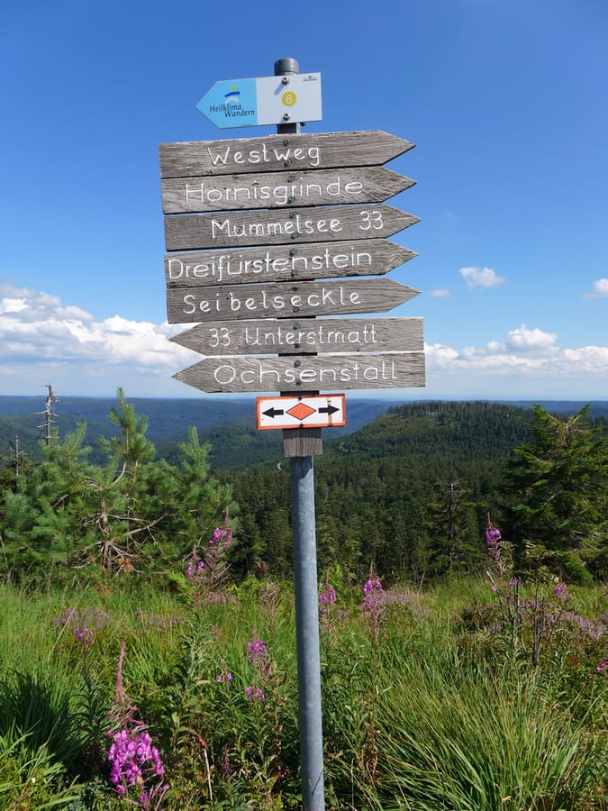
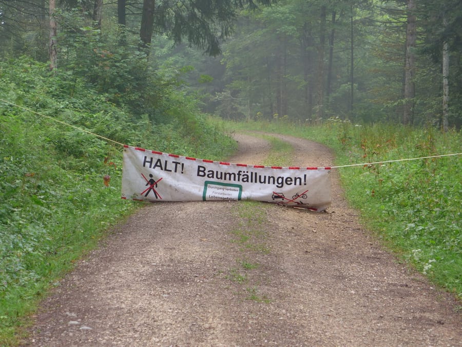
The trail continues to Unterstmatt, which is actually a stage destination, but there isn't much there apart from a restaurant. The Westweg is closed for tree-felling. There is no diversion. We climb the ski slope and get a little lost in the forest. We soon find the trail again, and at Wanderheim Ochsenstall we quickly replenish our electrolytes. Since we don't know what the day has in store, we also buy some cheese there for provisions.
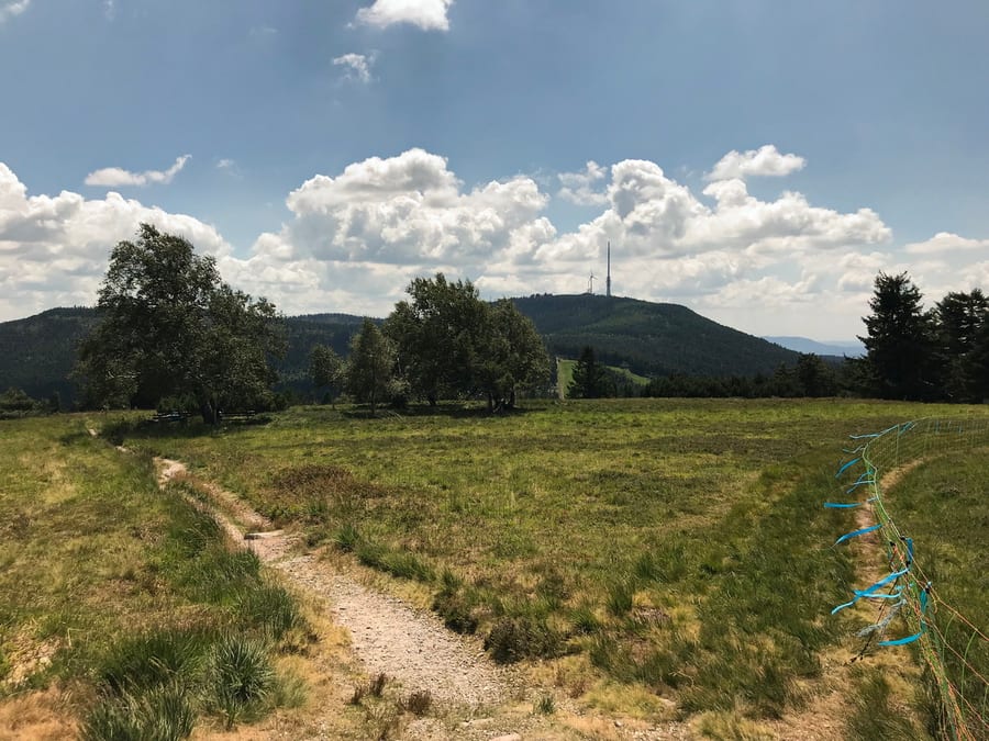
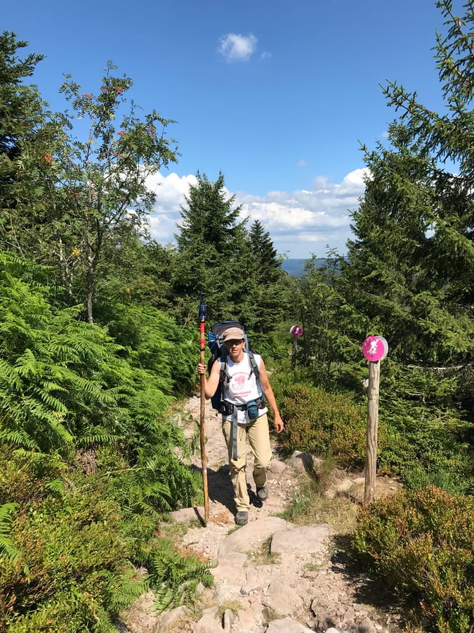
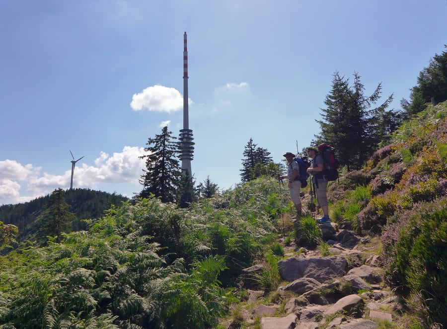
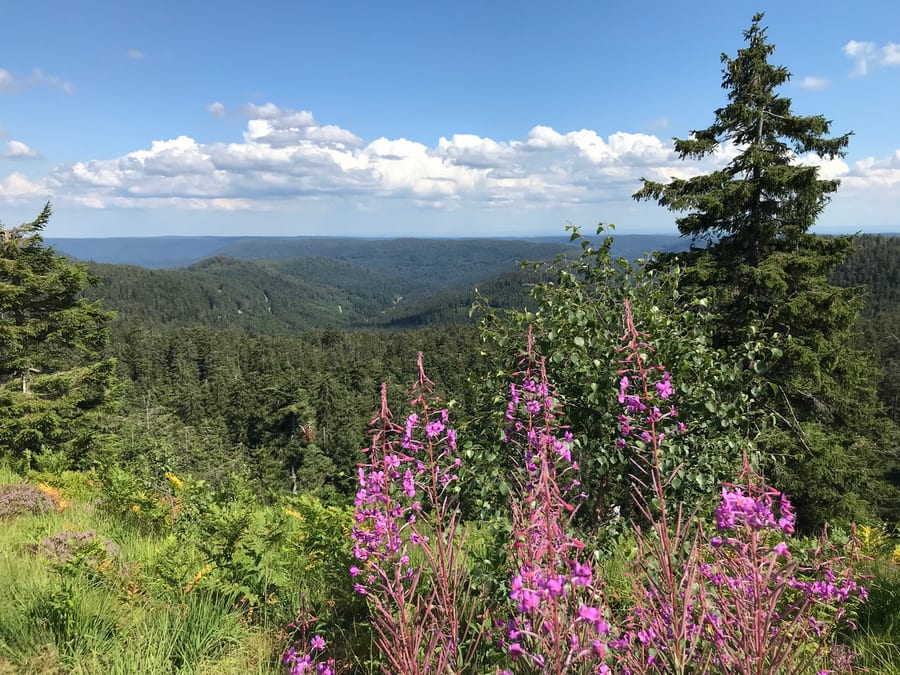
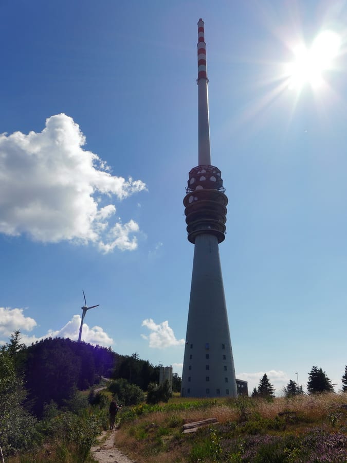
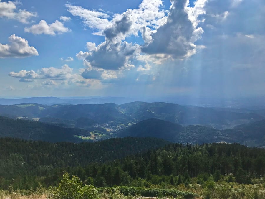
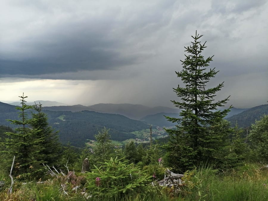
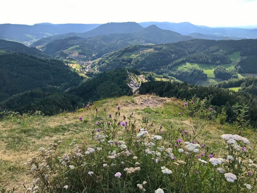
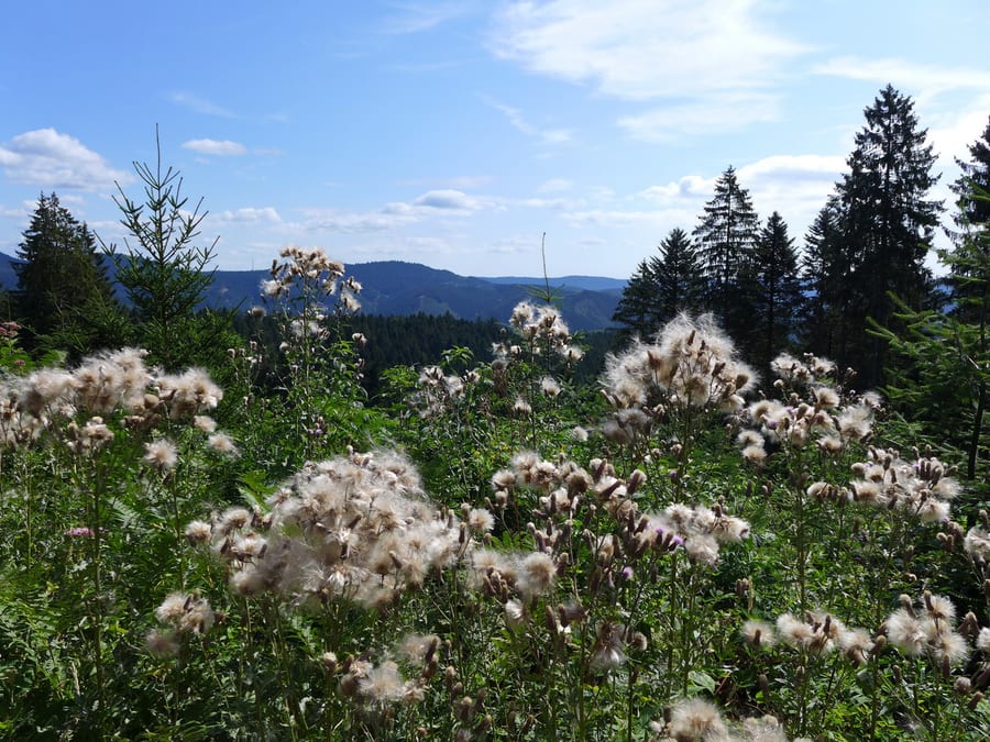
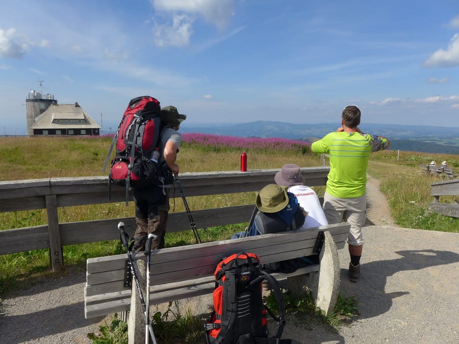
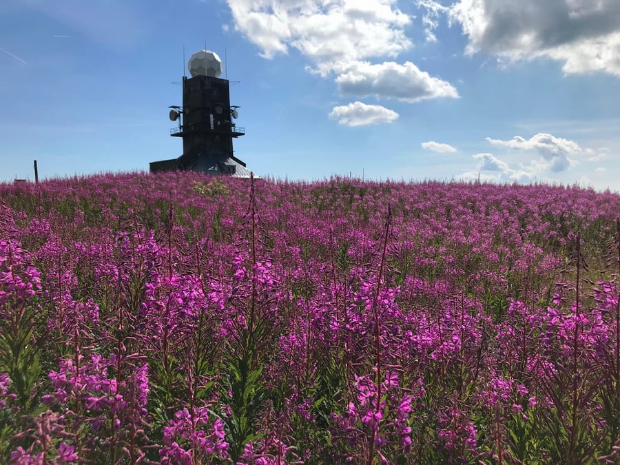
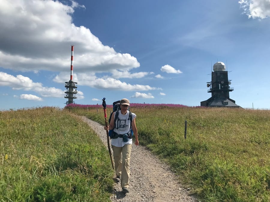
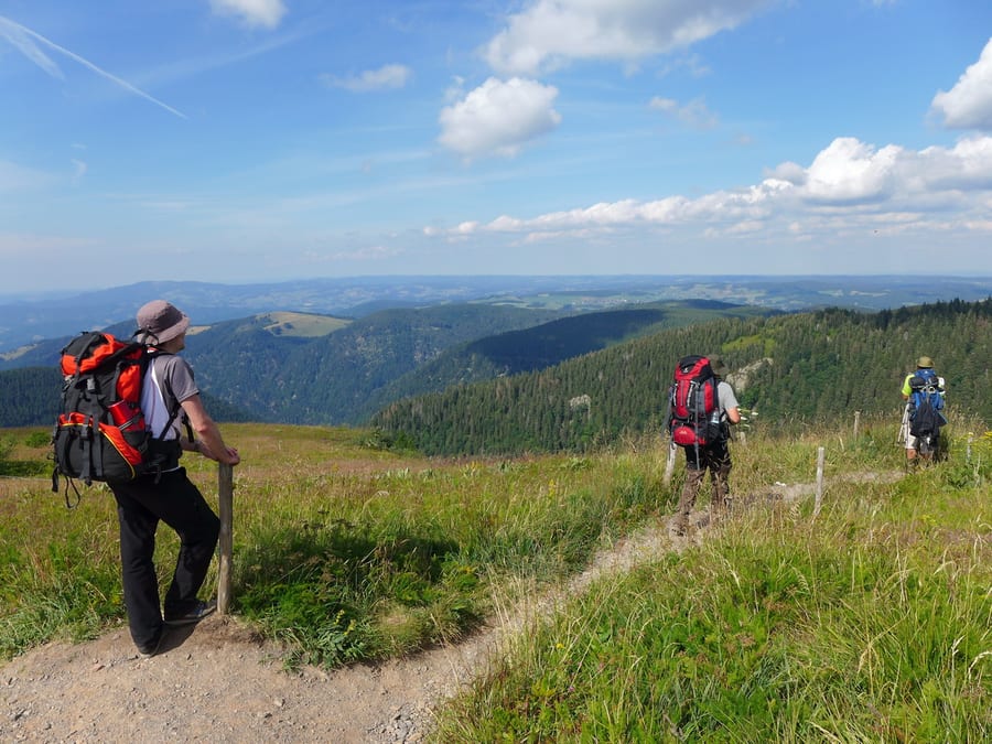
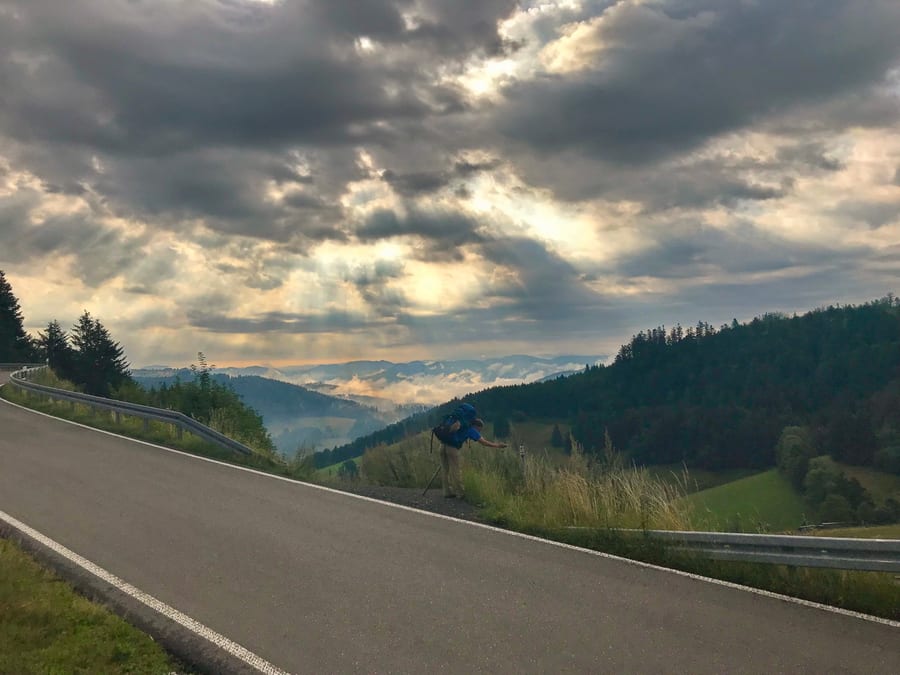
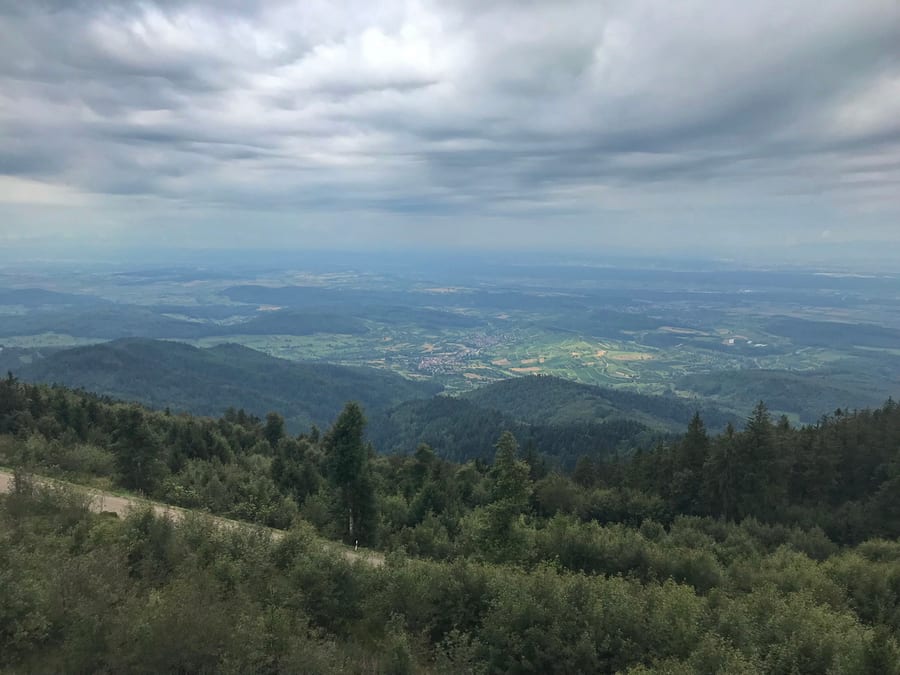
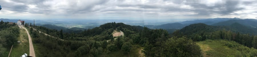
Hornisgrinde is wonderful. The weather is on our side! The clouds look great in the photos, though they don't bode all that well for the rest of the day.
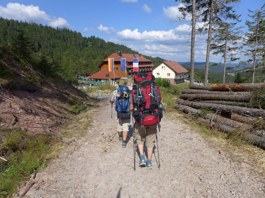
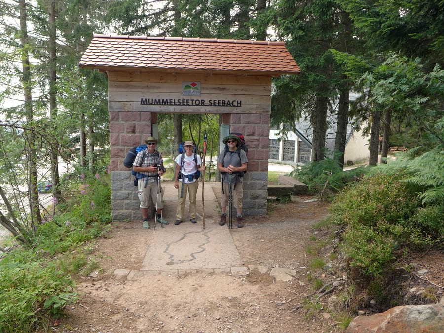
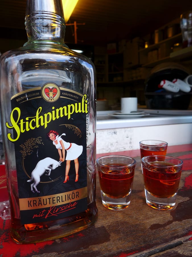
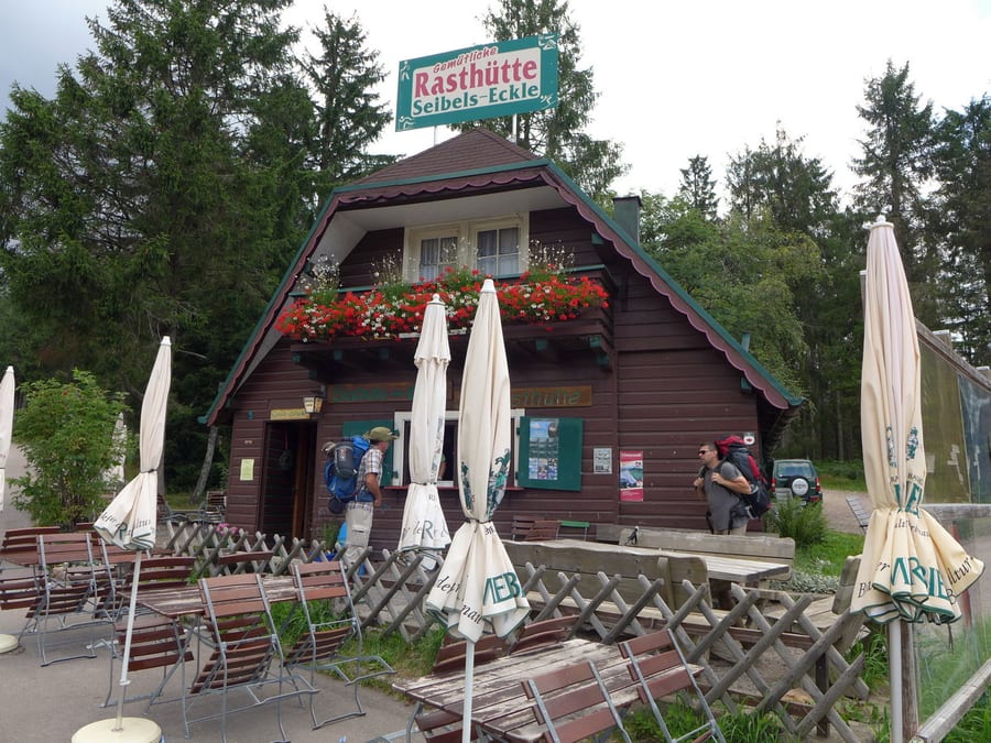
At Mummelsee, we find a little tourist hotspot. There's one good thing about it: we can buy postcards again, and also add fresh onion bread to our packs. It's 5 p.m., but we're fairly relaxed because the former hiking guide in Forbach recommended a hut that should be a reasonable distance away and is also marked on our map. First, though, we have to follow his tip and drink a “Stichpimbuli Bockforcelorum” at Seibels-Eckle.
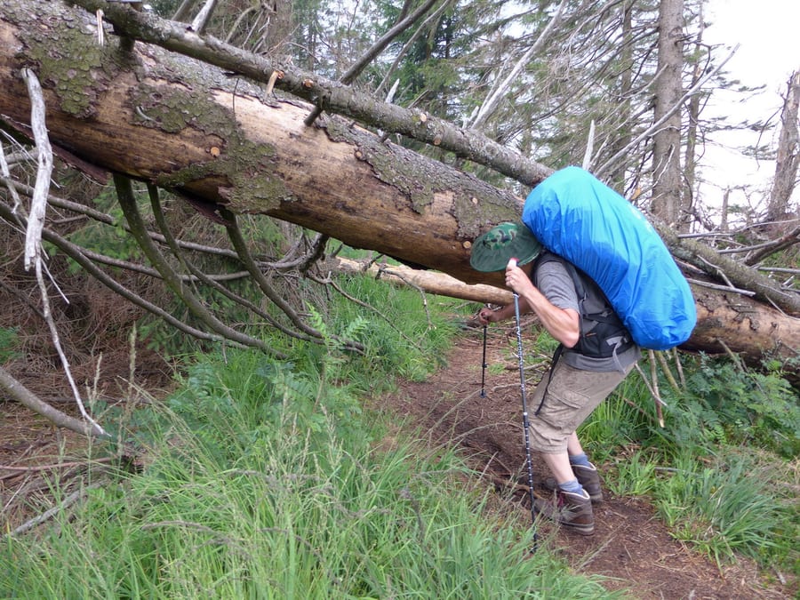
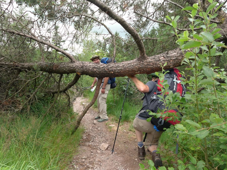
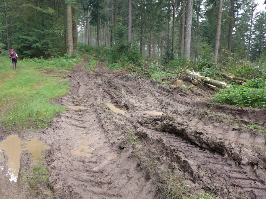
Now on to the hut. The weather is getting worse. No sign of a hut. There are various fallen trees across the trail in the forest. It starts to rain. Where is this hut? Markus gets grumpy because it is not easy to make his way over and under all those trees with a full pack. Even photos of the acrobatic manoeuvres are forbidden. Things are getting serious, wet and muddy. The good sun hat gets lost while he is putting on his rain poncho. Still no sign of a hut.
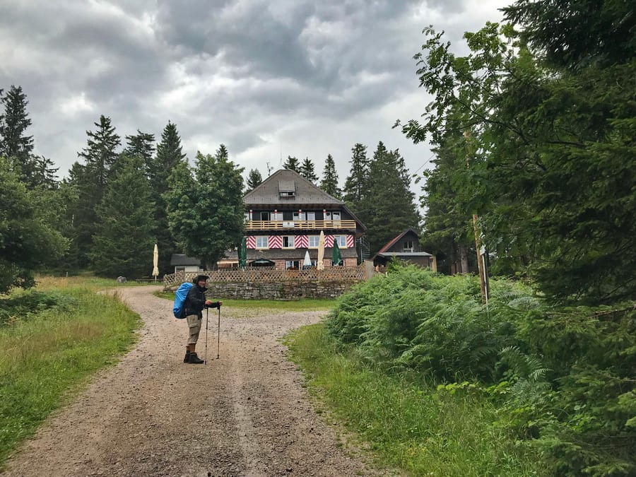
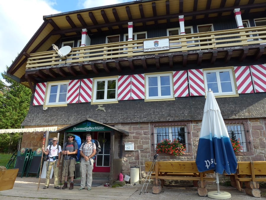
At last we find refuge in Darmstädter Hütte and are very glad to have somewhere to dry our wet clothes overnight. The foresters and their dogs are already there, waiting for us with wine. That's more like it.
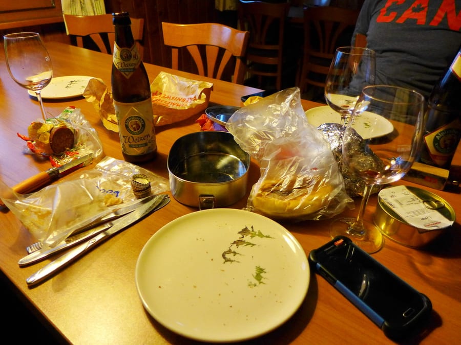
We take showers first, and even though the kitchen is already closed, we can put together a great supper for everyone with the provisions we wisely bought. Oli gets directions to the next place for wheat beer, and the cosy evening is saved.
The three of us sleep in a six-bed room, naturally right at the top, after climbing all those stairs. As if our muscles weren't sore enough already. But no complaining!
Wednesday, 31 July 2019 - Day 4
Darmstädter Hütte to Lettstädter Hütte
27.2 km (24 km plus a 3.2 km detour to the Kniebis portal)
End of stage at kilometre 105
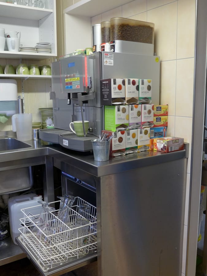
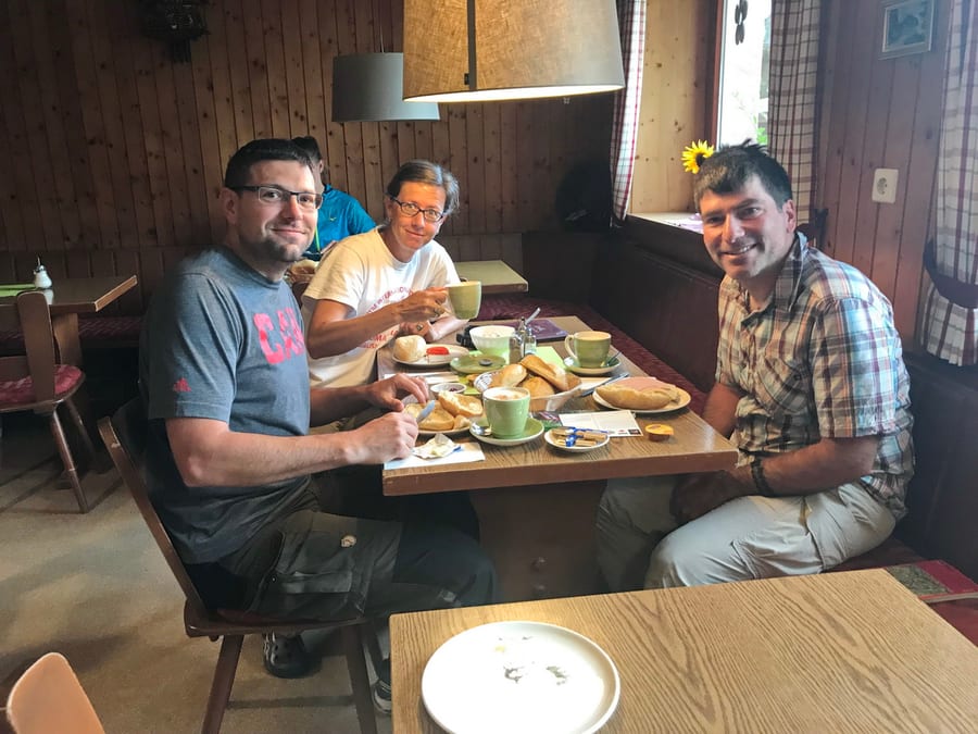
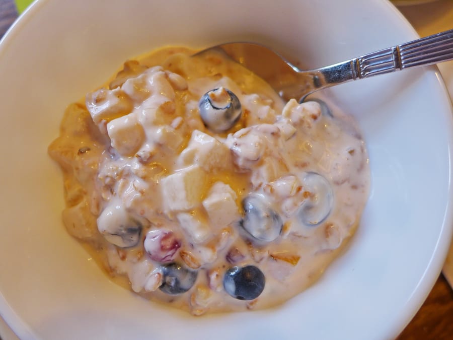
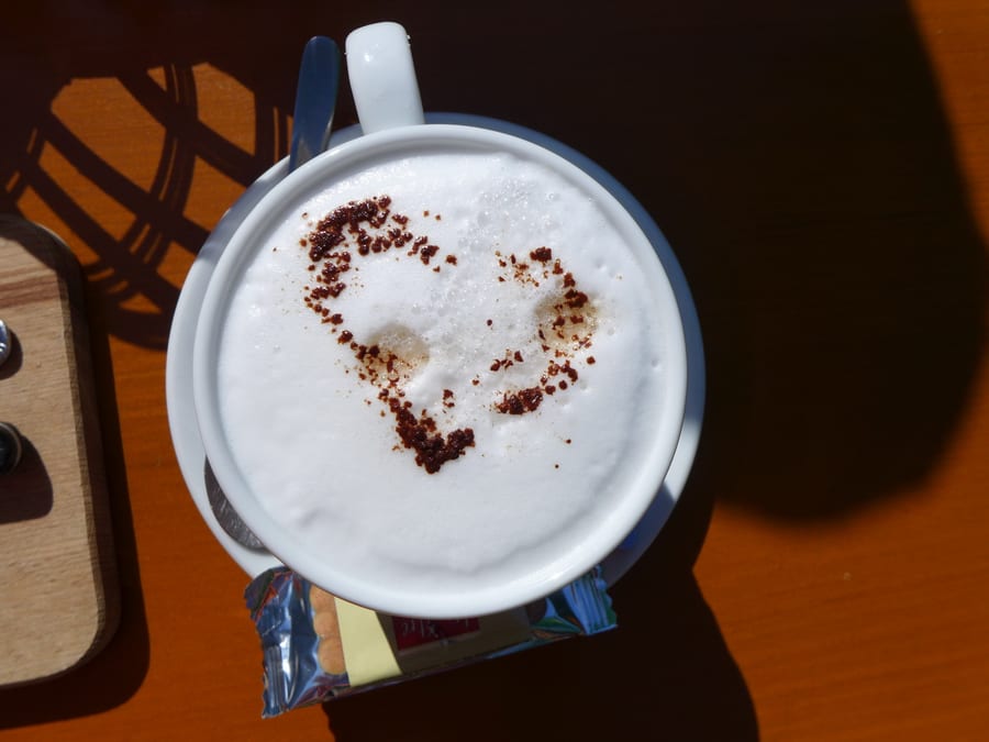
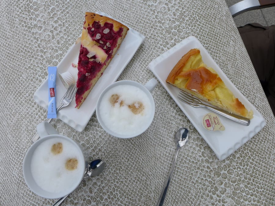
The alarm goes off at 7:15 a.m. Breakfast is served from 7:30. First, we take a photo of the cappuccino machine, the dream of the last few days. Breakfast is amazing. Kik has never had such excellent muesli. The 33 euros for this accommodation were absolutely worth it.
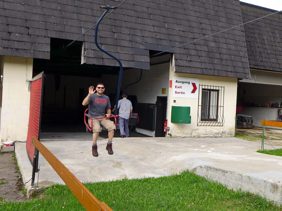
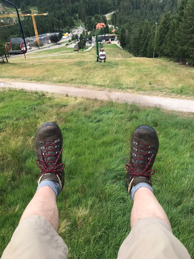
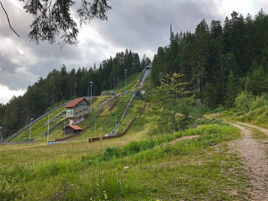
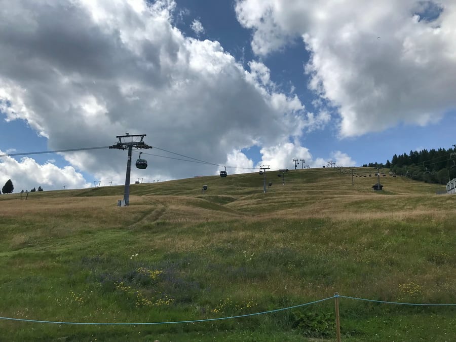
We set off around 9 a.m. At Ruhestein, Oli has to phone home, so the rest of us take a ride on a chairlift while we wait. Naturally, it only opens once we are already at the bottom. So we ride up again for six minutes and back down for another six. We briefly lose our way opposite the ski jump, but quickly find the right trail again, which takes us to Schliffkopf. The weather continues to be kind to us.
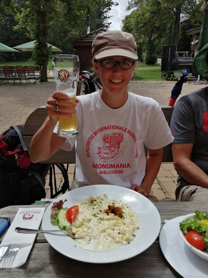
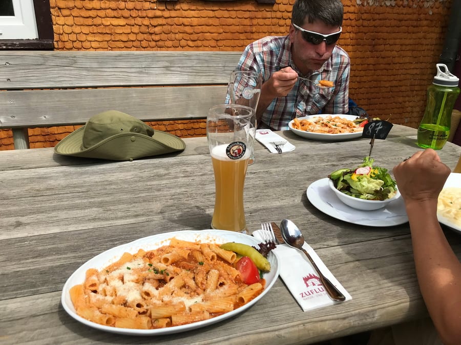
The trail is varied, with lovely views. “Sporthotel Zuflucht” is open today and serves great food, including Hüttenrigatoni and Kässpätzle. We make sure to have enough wheat beer, too. At some point, “the photographer” from Badener Höhe arrives. He tells us his backpack weighs 21 kilos. But since he forgot his sleeping mat, he now sleeps on his food supplies, vacuum-packed in air cushions. laughs out loud
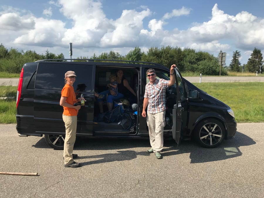
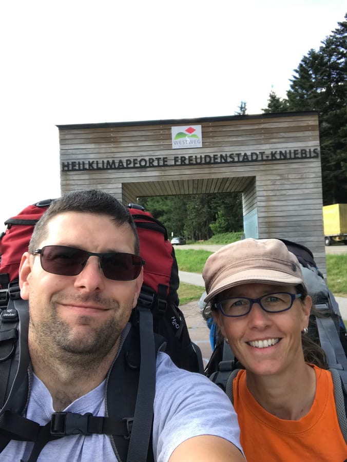
At Alexanderschanze, our support vehicle meets us right on time. For family reasons, Oli leaves the hike until tomorrow. We change our T-shirts, pick up a few more provisions and continue as a pair. Since we want to visit all the portals along the way, we take the 3.2 km detour to the “Heilklimapforte Freundenstadt-Kniebis.” Can someone explain why you would build a Westweg gate so far from the Westweg?
It's already 5 p.m. We start looking for somewhere to spend the night. Hildahütte is signposted everywhere, but turns out to be a tiny little hut, and the photographer is already there. Unfortunately, this is the last time we meet him; otherwise, we would have asked whether we could see his photos somewhere afterwards.
We still have Blitzhütte in mind from the internet. It should be the next one, and it looked perfect in the pictures. We walk for ages and reach Lettstädter Hütte. It is nowhere near as great as the one we expected, so we take turns going back out without our packs to look around. Eventually we give up and make do with what we have. It's a bit of a shame, though.
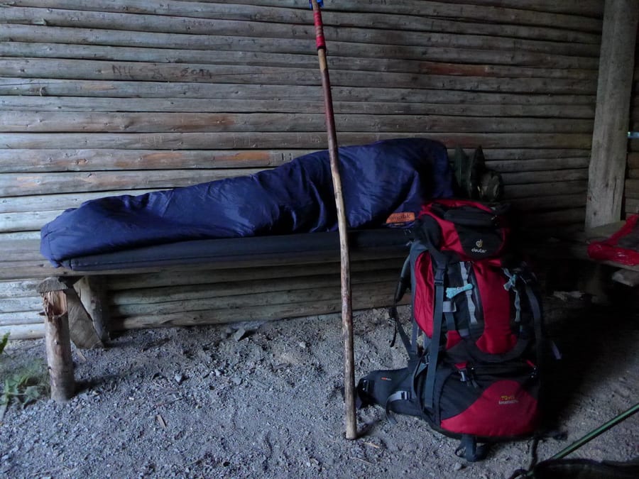
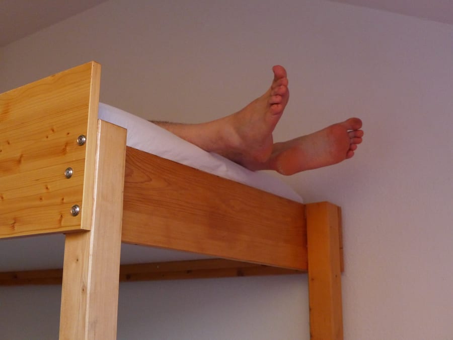
We eat a little, tend to our blisters and then flee from the mosquitoes into our bivvy bags. During the night, we nearly fall off the benches. Why do they always have to be built so narrow that you can't sleep properly on them? The night is short and uncomfortable.
Thursday, 1 August 2019 - Day 5
Lettstädter Hütte to Hasemannhütte
31km, about 6 km beyond Hausach (31 km)
End of stage at kilometre 136
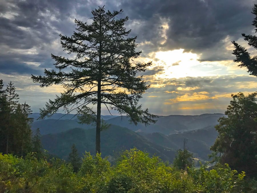
At 5 a.m., wild guesses start flying that there is a smacking hedgehog under the bench. A photo disproves this, and since we are awake anyway, we soon get up and pack our things. The light is beautiful this early in the morning.
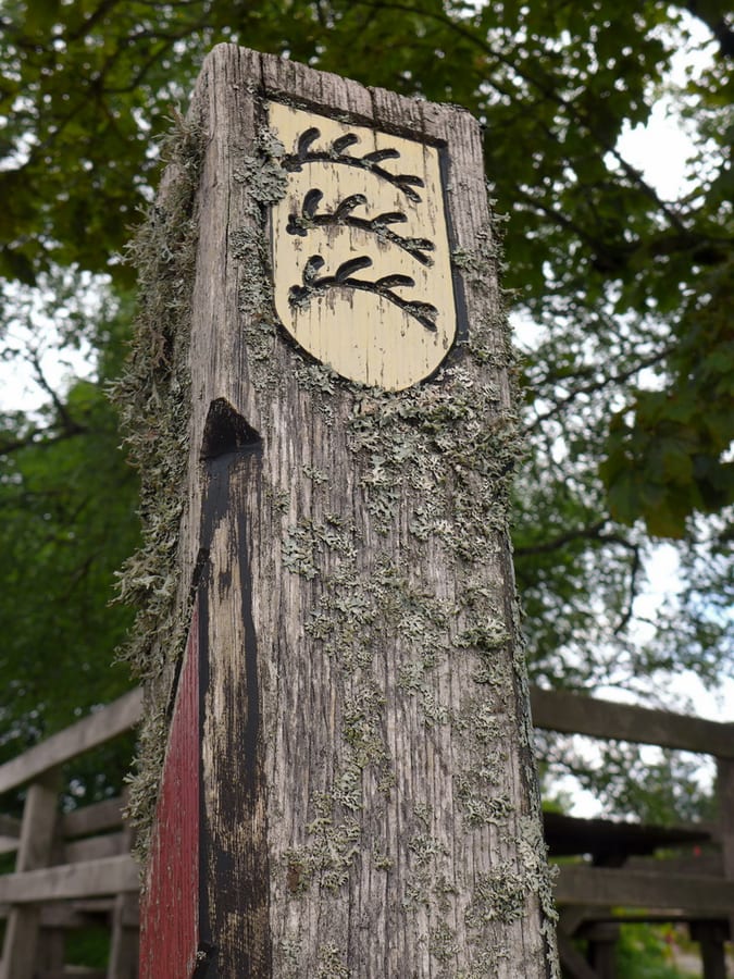
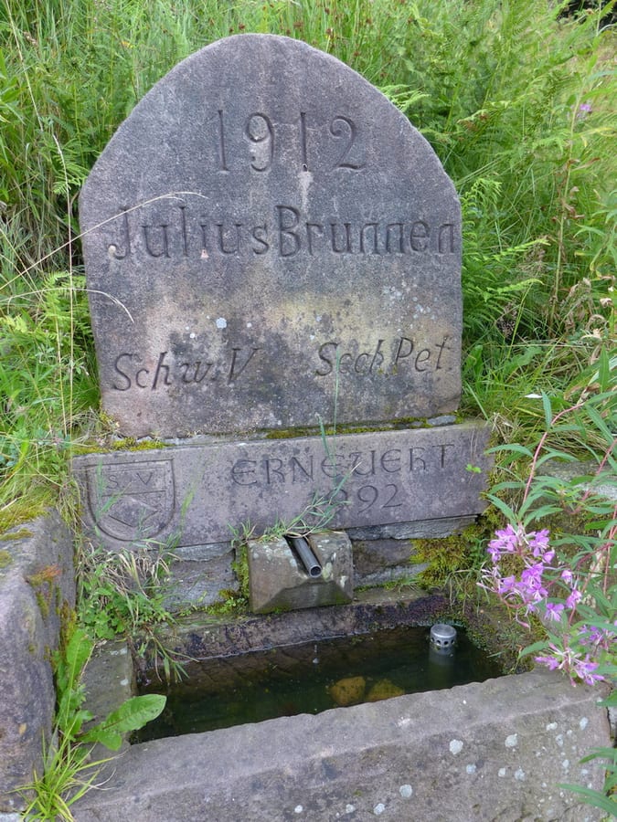
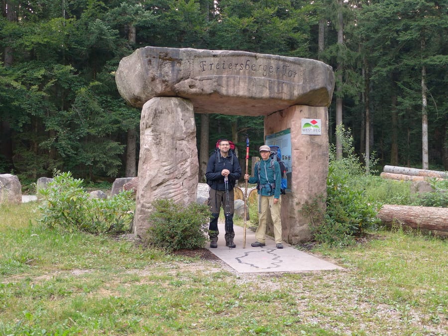
Julius Brunnen is only dripping very slowly now, and the next spring at Freiersberger Tor is only a little faster. For a change, the Westweg stamp here is installed at an angle. Can it really be so difficult? 🙄
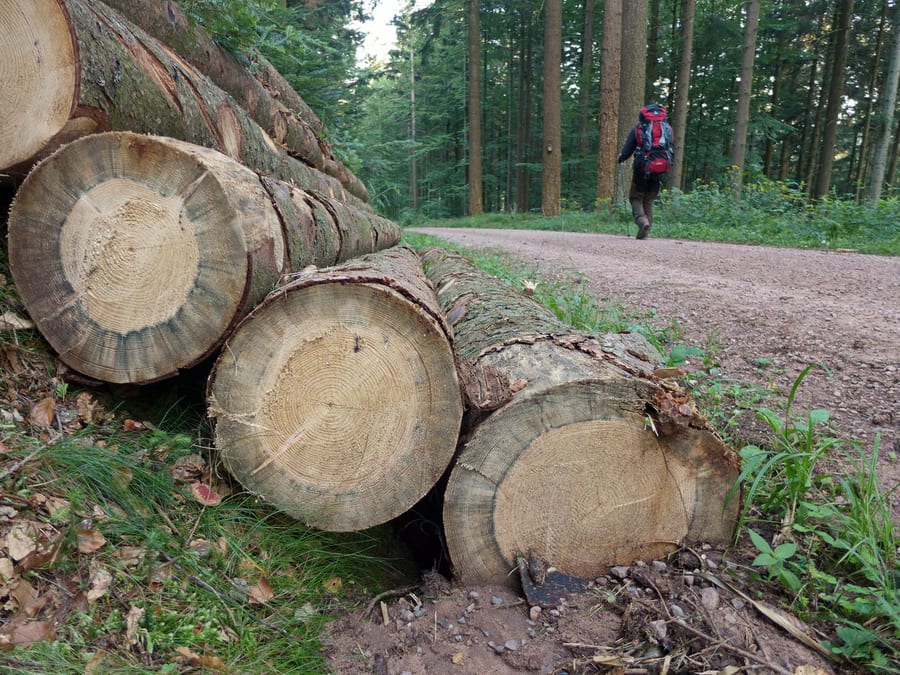
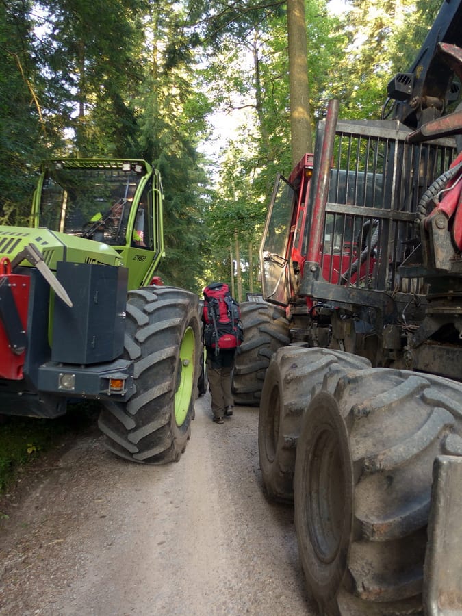
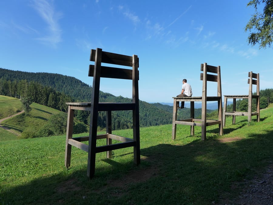
There is more activity in the forest, and we have to squeeze between two large harvesters. Jägerbrünnle should be next, but it seems not to exist any more. We dream of the cappuccino machine again. At the edge of the forest, there are three large chairs. The ten-second timer won't give us enough time to get both of us seated for the photo, so it's enough if one of us manages to climb up there despite the various aches and pains.
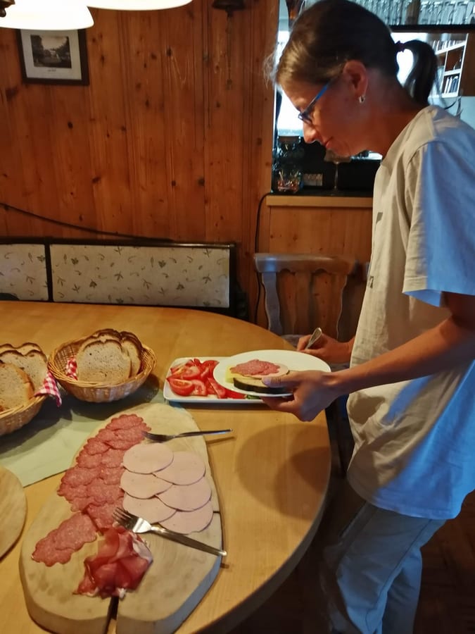
Harkhof is nearby. Since it is a popular stage destination with a dormitory, we reckon we have a chance of getting breakfast. It's a rather meagre offering for passing hikers, but at least there is cappuccino, and they also have the much-needed fresh water.
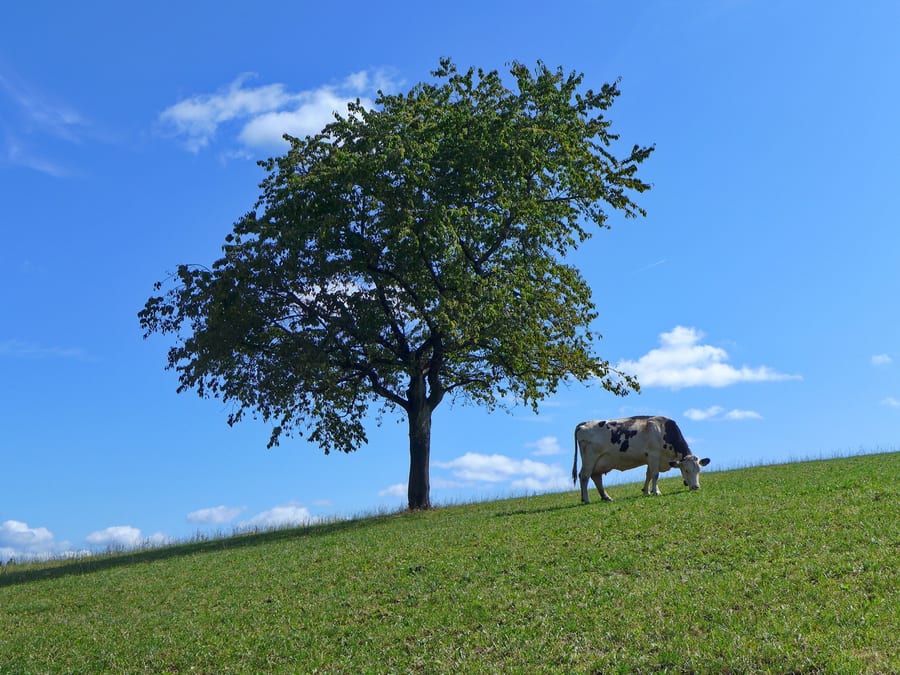
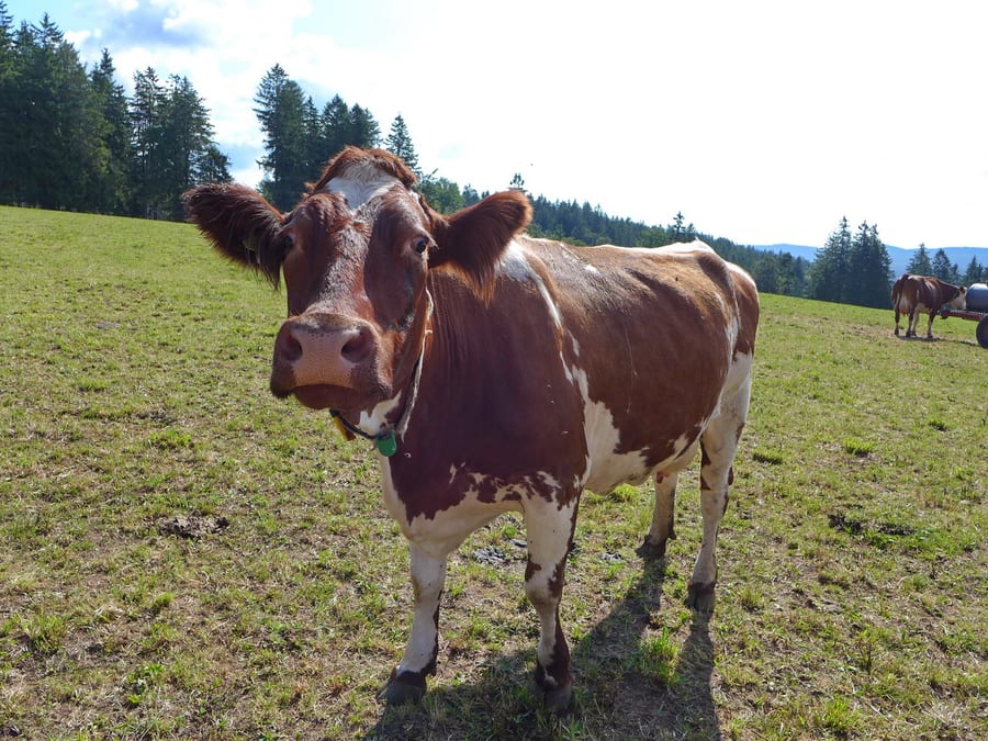
The trail now takes us uphill again, because of course farms like these are always down in some hollow that you have to descend into with difficulty. Once past the cows, it's nothing but up and down—up, down, up, down, up, higher still, back down, up again. Phew!
There is a hut at Hohenlochen. Unfortunately, it is not staffed today, but it has a nice view. It would also be a perfect place for us to stay if it weren't only noon and we didn't still have a lot ahead of us.
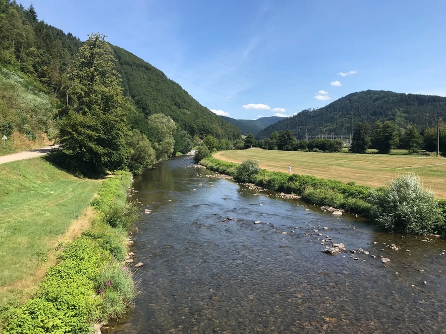
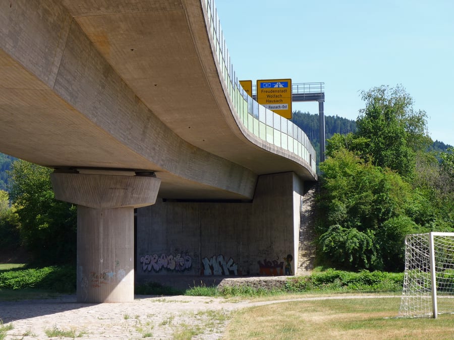
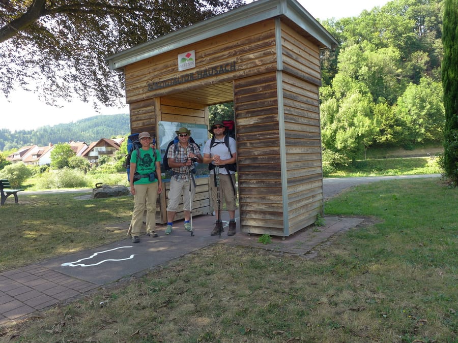
Spitzfelsenhütte, high above Hausach with a view of the town, would also be a nice place to stay, but we have a date in Hausach. The steep descent into town really wears us out after all that climbing up and down. We first buy more blister plasters at the pharmacy. A few houses—or rather, a petrol station—farther on is Kinzigtaltor Hausach, where we meet our support vehicle and Oli again, right on time. We quickly change our sweaty T-shirts, which will be sweaty again after ten minutes of walking in the sun, but at least we tried.
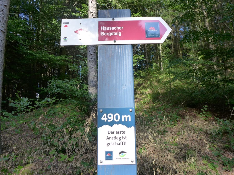
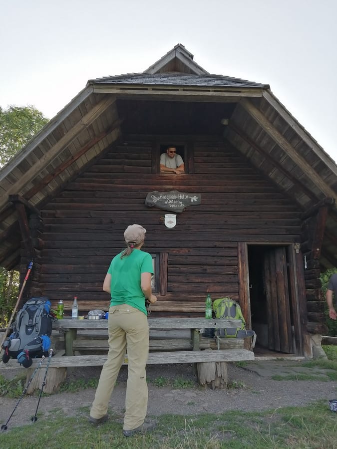
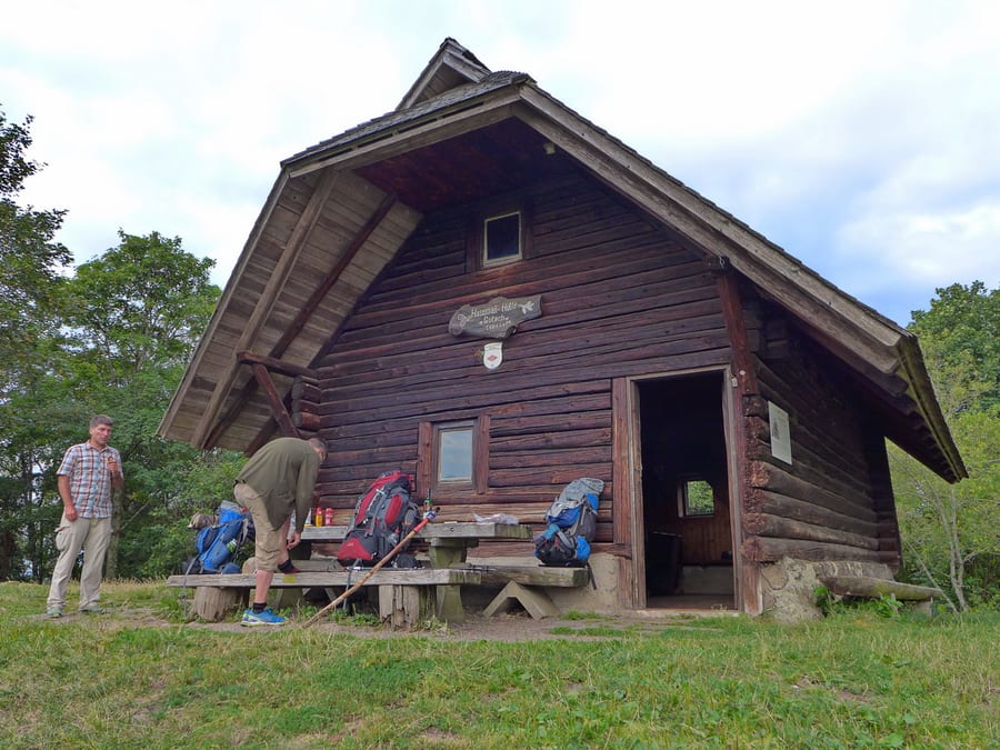
We start our reunion with a wheat beer together. It's already 5 p.m., but we're fairly relaxed because today's planned hut has room for several hikers, so we don't have to run. After the ordeal we've just been through, we couldn't anyway. Since Oli is still completely fresh, he makes a quick trip to the shop around the corner and gets some wine. We head on ahead, uphill, of course. Hausacher Bergsteig is not for the faint-hearted, and the hut we are hoping for just doesn't appear. At what feels like 3,000 metres, we finally reach Hasemannhütte and find only Udo with his dog, since his forester friend Rolf had to give up because of an injury. Holger and Martijn from the Netherlands arrive shortly afterwards, too.
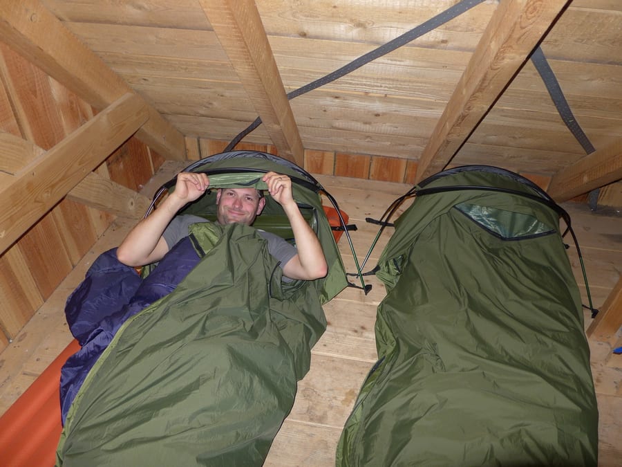
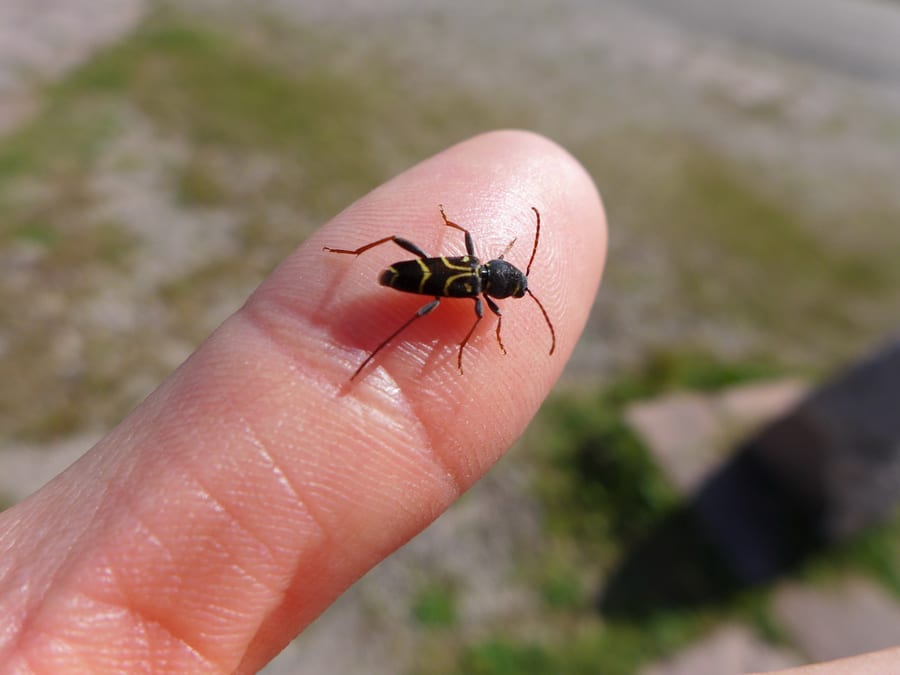
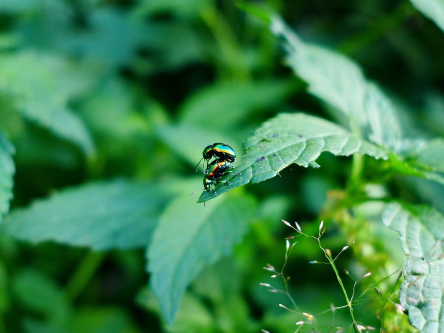
As expected, the hut is spacious and has a large attic. Luckily there is no light up there, so it's harder to see what it looks like. We settle in upstairs and all have a really nice evening together in front of the hut. It comes to an abrupt end when little black beetles suddenly appear. At about the same time, two more hikers arrive at dusk: an older man who hardly says a word, and a guy in flip-flops with rather unusual circumstances.
Friday, 2 August 2019 - Day 6
Hasemannhütte to Brend
26.5 km
End of stage at kilometre 162.5
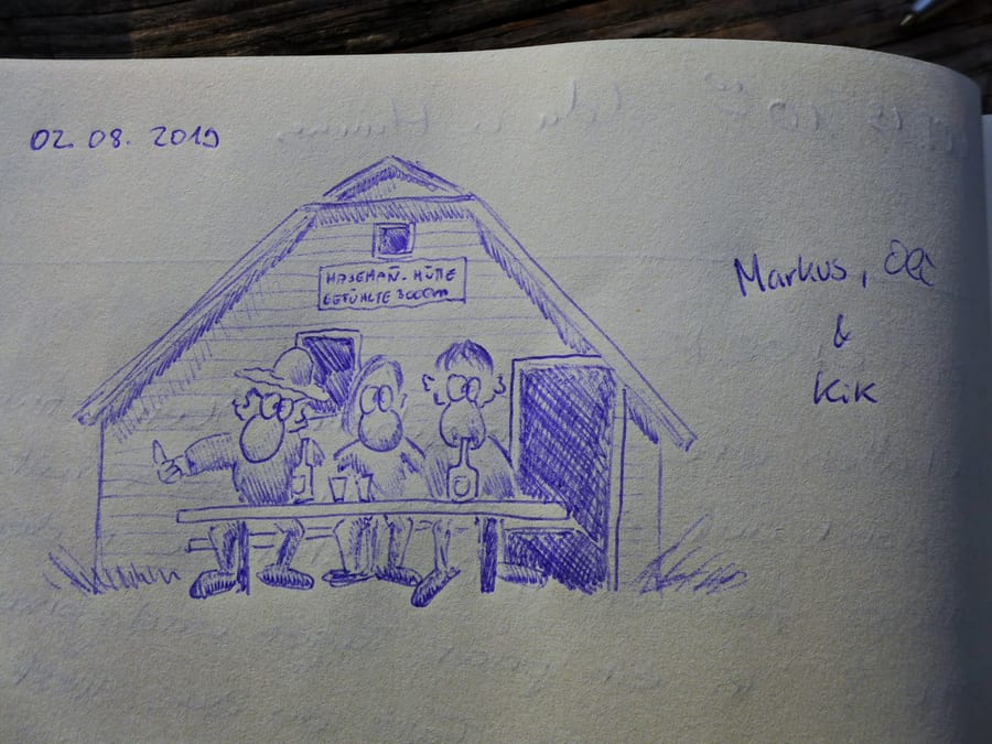
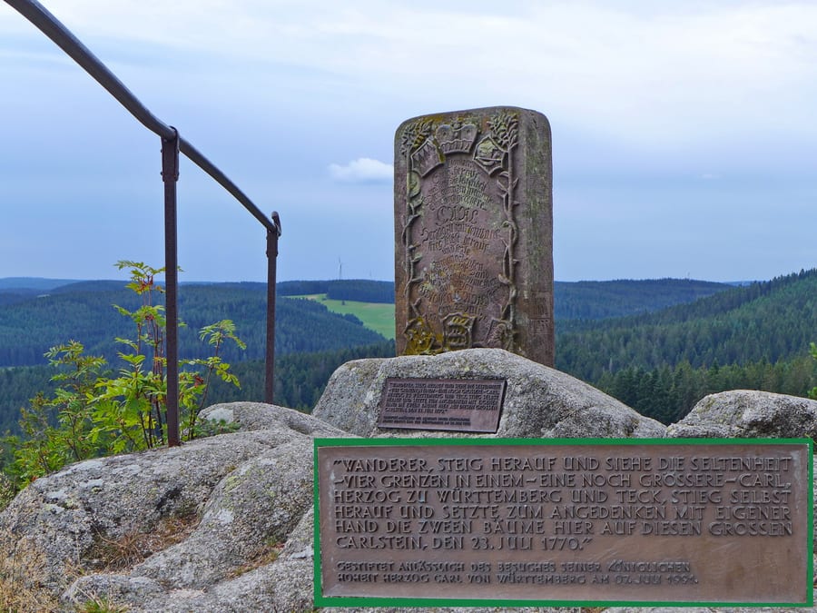
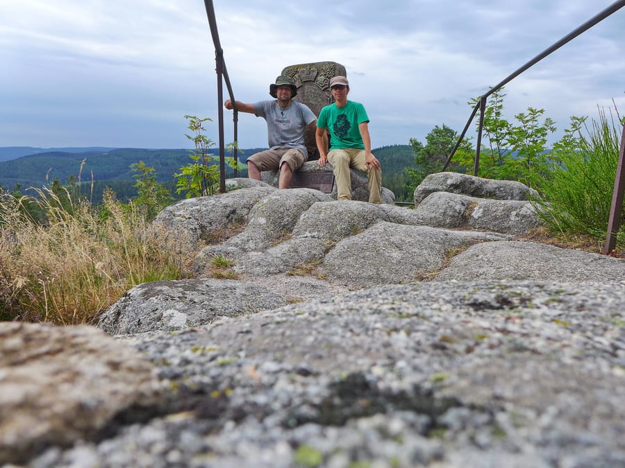
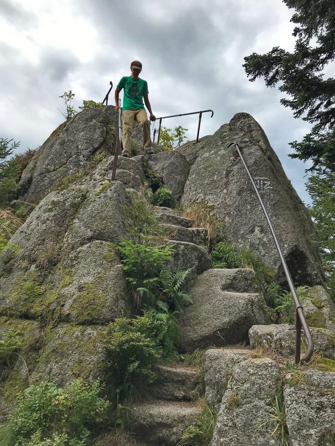
Breakfast is (rather meagre). We quickly sign the hut logbook and set off fairly early, but after everyone else. Büchereckhütte is not too far away; it would also have been an ideal place to sleep. We climb both Huber and Karlstein as we continue along the trail.
Immediately afterwards, we come to “Schöne Aussicht,” a restaurant where hikers can't get breakfast and food in general isn't served until noon. Even after asking several times, the answer doesn't change. Udo has tried. He's already there and spontaneously invites us to a wheat beer. Thanks again!
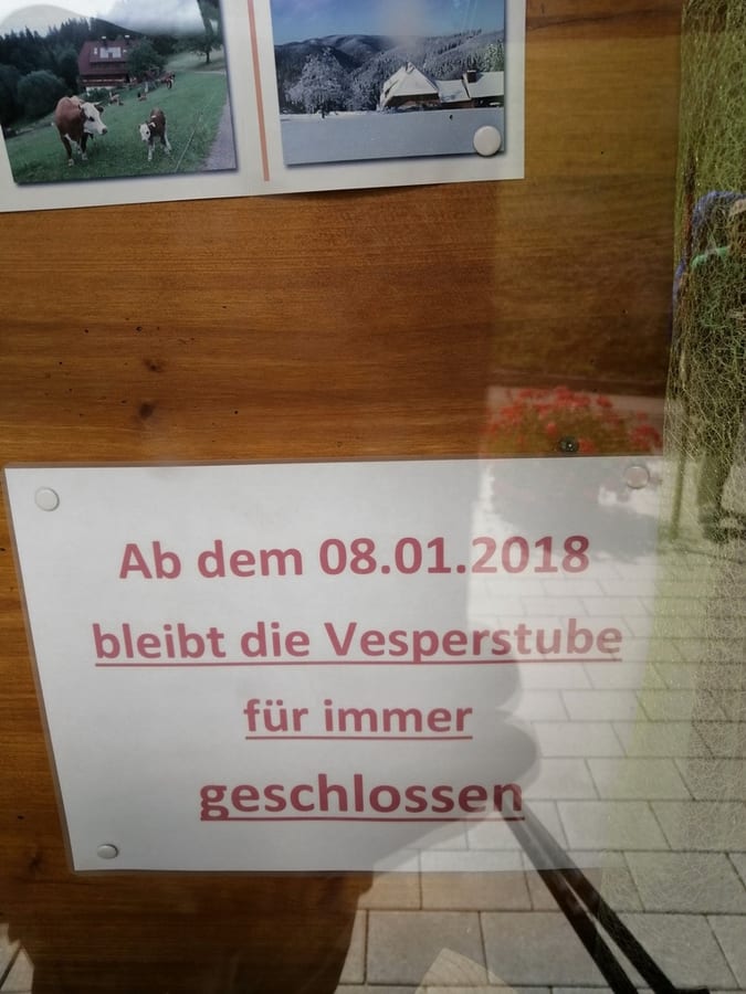
The next snack bar has been permanently closed since 2018. Holger has already found that out too; he's lying on a bench in the sun there.
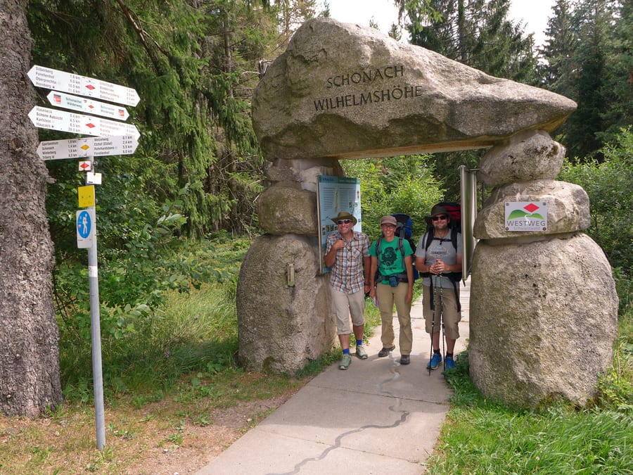
Around midday, we reach Schonach Wilhelmshöhe. Since it is a stage destination for some hikers, there is a proper restaurant here, and it is even open. Holger arrives as well and tells us he is going home today because everything hurts.
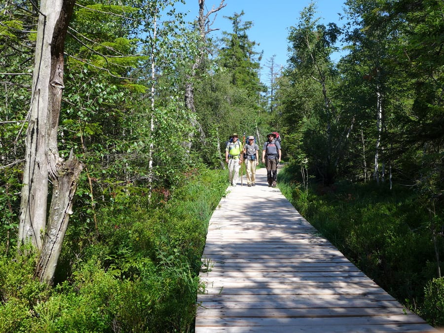
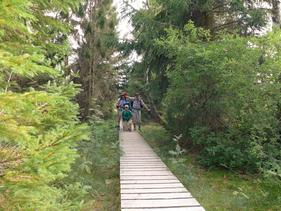
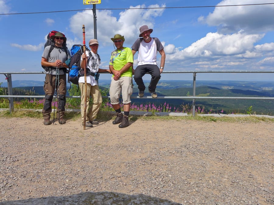
Before leaving, he takes a photo of us at Portal Number Eight (thanks!). From there, the trail gets really beautiful again, and in this perfect weather, the walk over the boardwalk at Blindensee is simply fantastic.
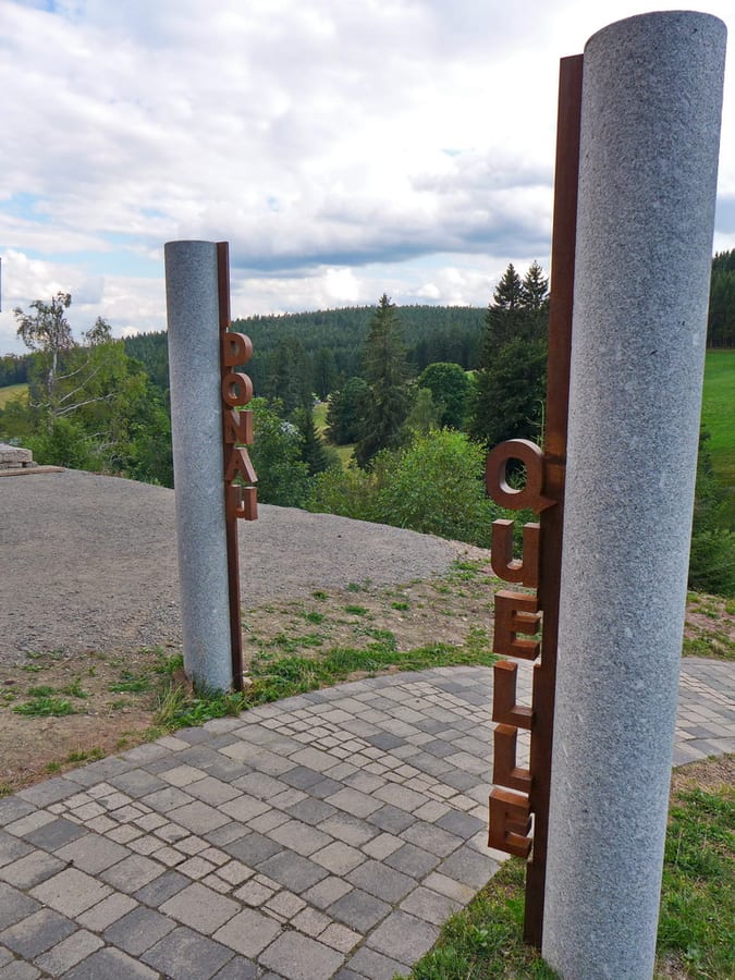
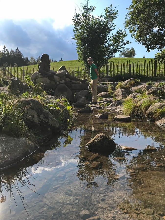
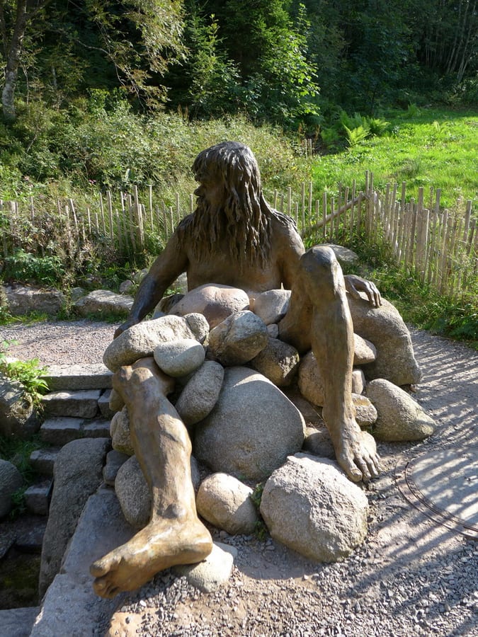
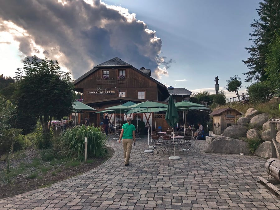
At around 5:30 p.m., we reach the source of the Danube at Kolmenhof and spontaneously take a short break.
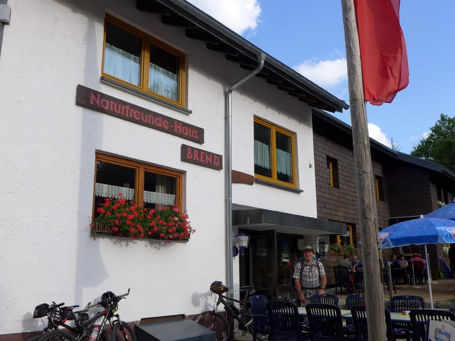
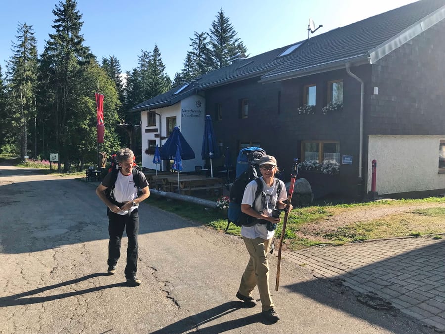
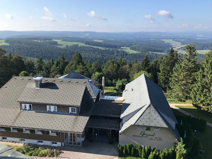
Passing Günterfelsen, we reach Naturfreundehaus in Brend at around 6:30 p.m. We had called ahead to book quickly.
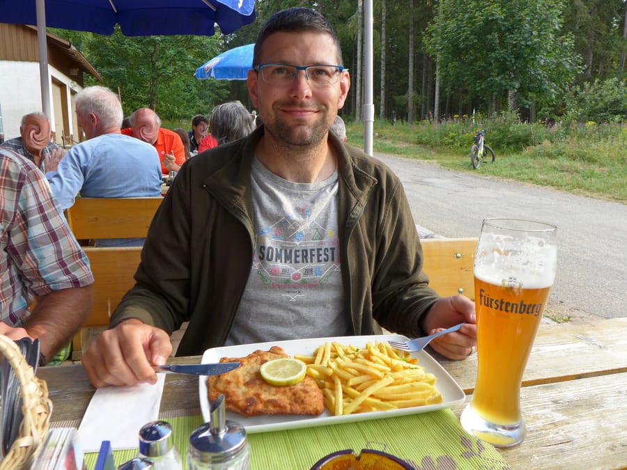
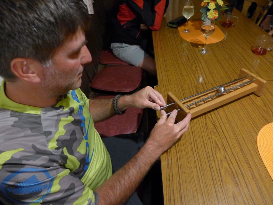
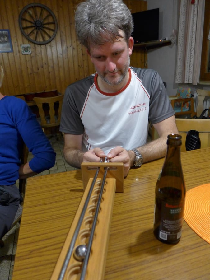
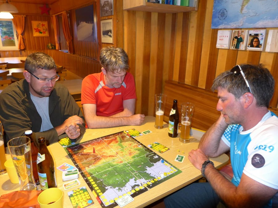
Since we are expecting reinforcements late in the evening, this seems like the ideal place to stay tonight. We could also do with a shower. Naturally, we get a room right at the top again. The whole floor has only one shower, but we have time. Benni is on his way to us by public transport and is due to arrive in Escheck at 9:15 p.m. Then he still has about 2.5 km to walk through the forest. Just before the kitchen closes, we get a little welcome beer and then play a game with a ball on sticks with a group of teachers. Benni arrives around 10 p.m. From now on, there are four of us.
Saturday, 3 August 2019 - Day 7
Brend to Titisee
39.5 km, (33.5 km, plus about 6 km searching in Titisee)
End of stage at kilometre 196
It is really warm during the night, but the Roto window can only be opened if you're tall enough. The guys snore in competition with one another.
Breakfast is served from 8 a.m. If you wake up at 6 and don't even have mobile reception, you get a little annoyed about the time wasted—time you wouldn't lose in the great outdoors, because you could just pack up and set off.
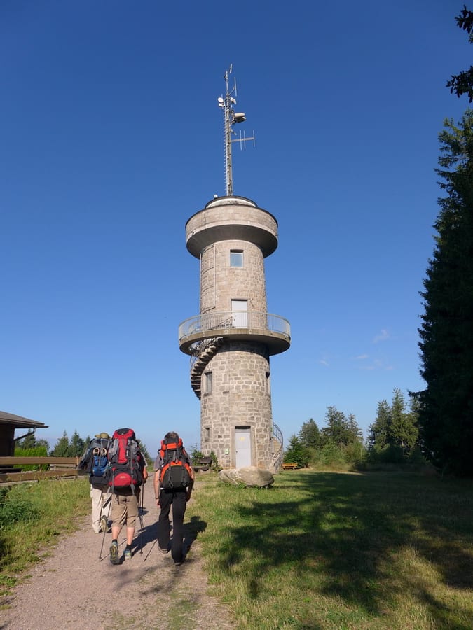
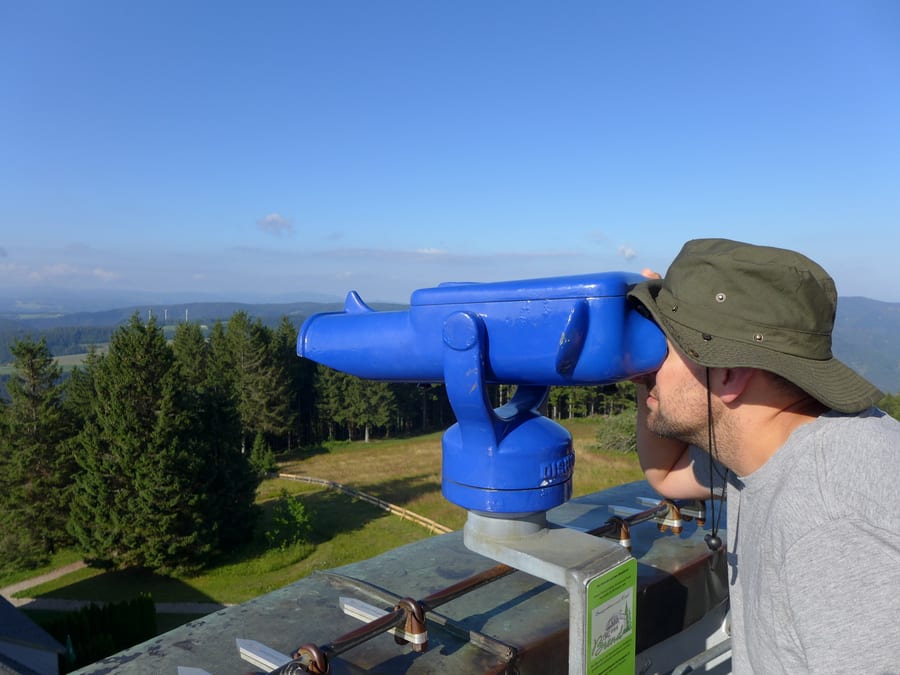
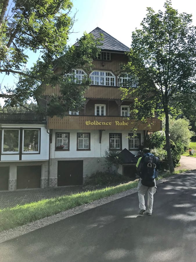
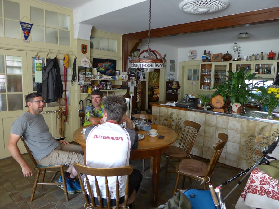
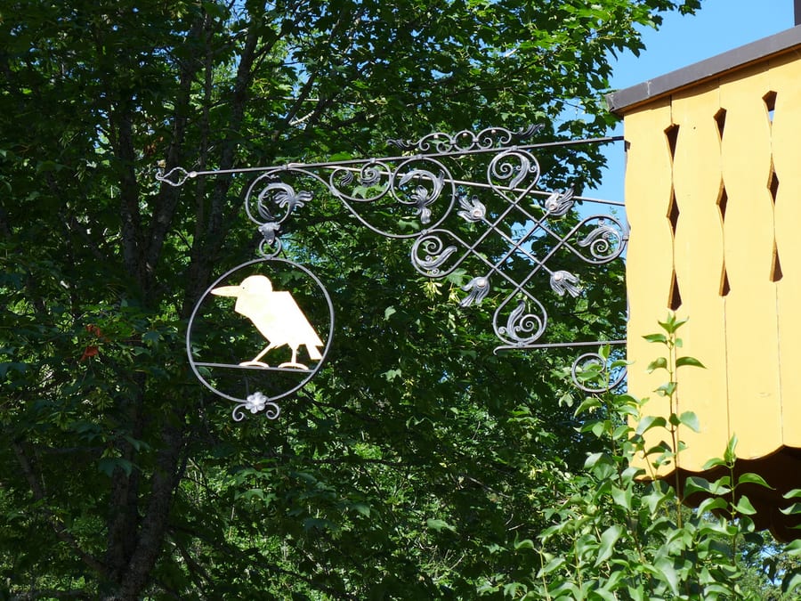
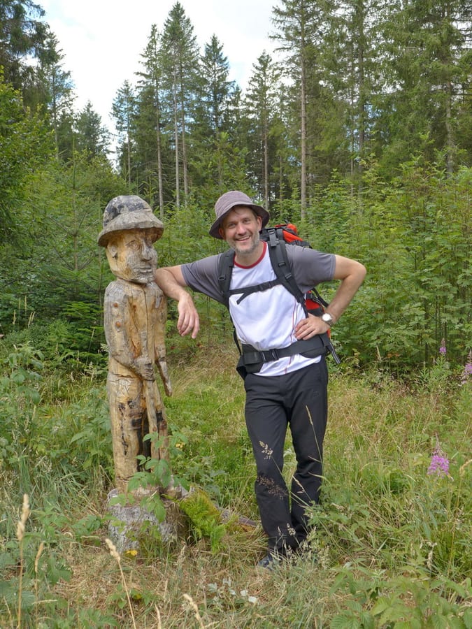
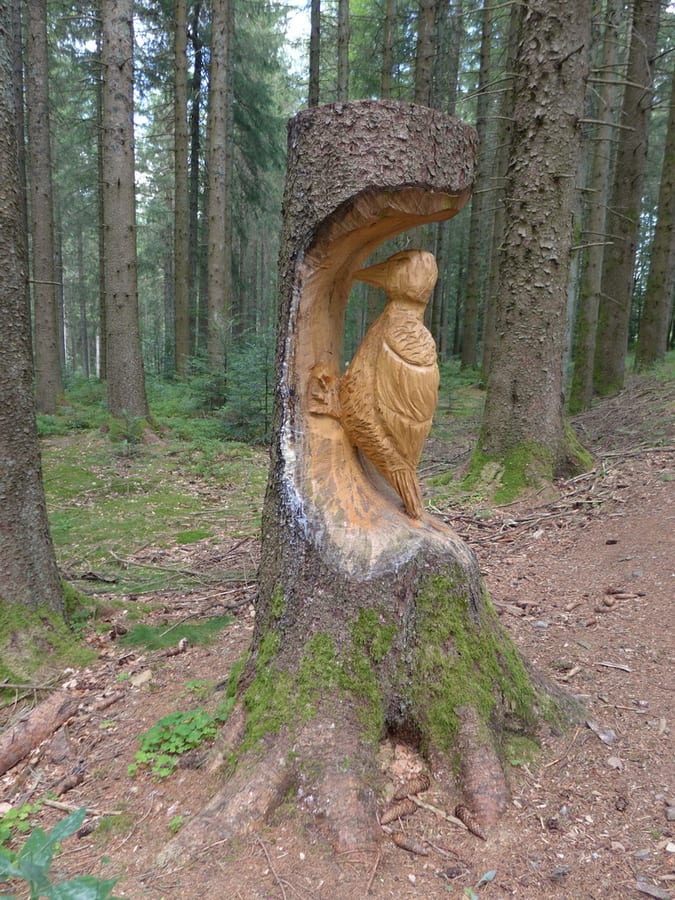
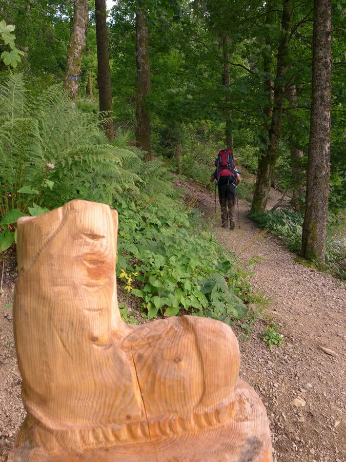
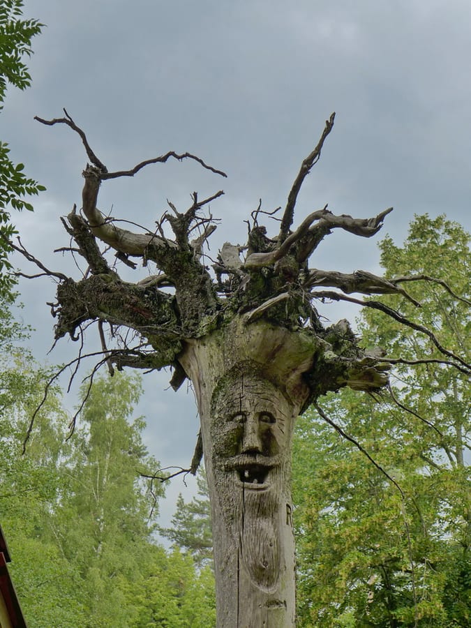
From Naturfreundehaus in Brend, it doesn't take long to reach Brend Tower. After that, the trail takes us past “Goldener Raben,” which two hikers told us we absolutely had to visit. We are happy to follow their advice, since our modest breakfast had to make do without cappuccino. Time seems to have stood still in the place, and we get to sit at the regulars' table surrounded by all sorts of rustic decorations. After this short stop, we pass some nice wood carvings in the forest.
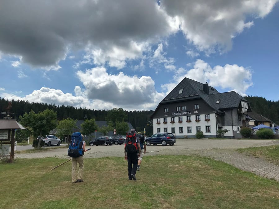
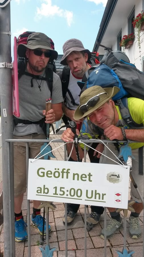
We arrive at “Kalte Herberge” at the perfect time for lunch, and first let Benni know about our food curse. The sign saying “hot food all day” reassures us, and we are already looking forward to the first wheat beer of the day. Our faces fall a little when we see the next sign, which says “Open from 3 p.m.” So, where's the hidden camera?
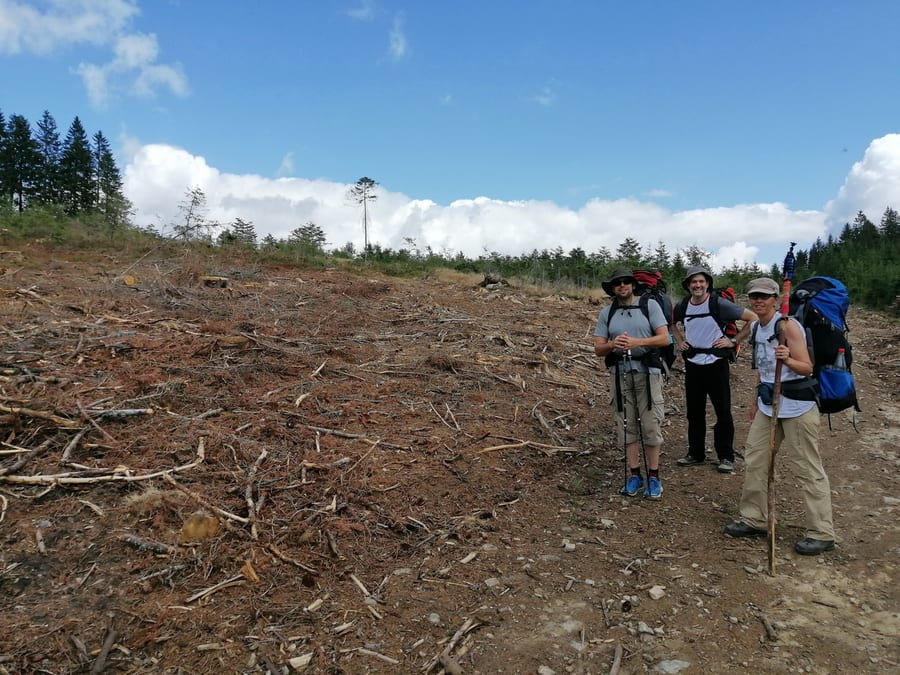
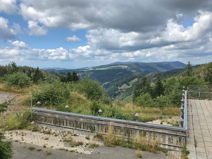
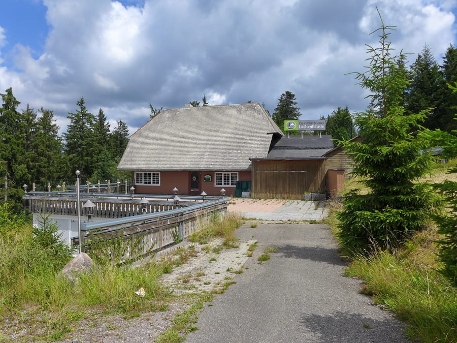
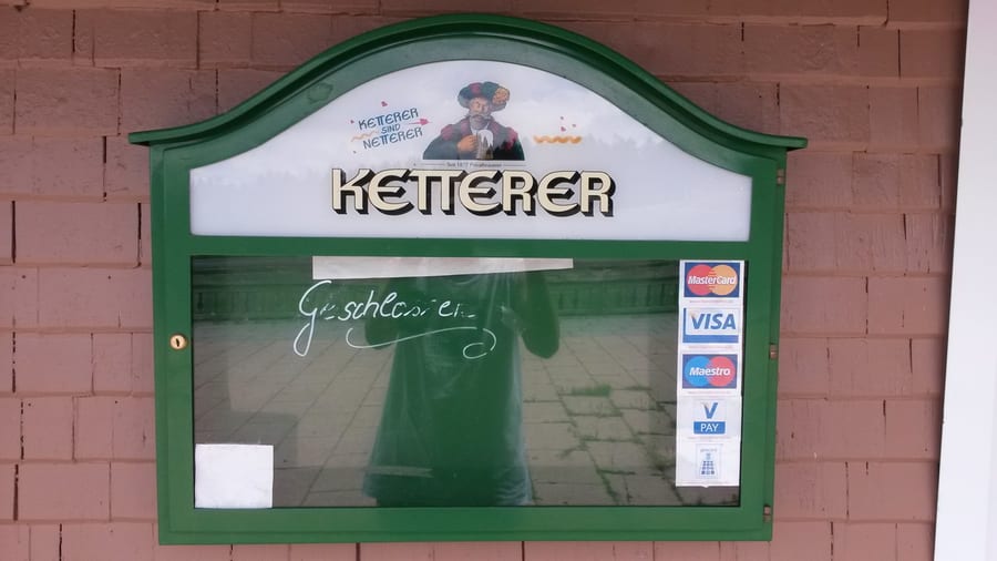
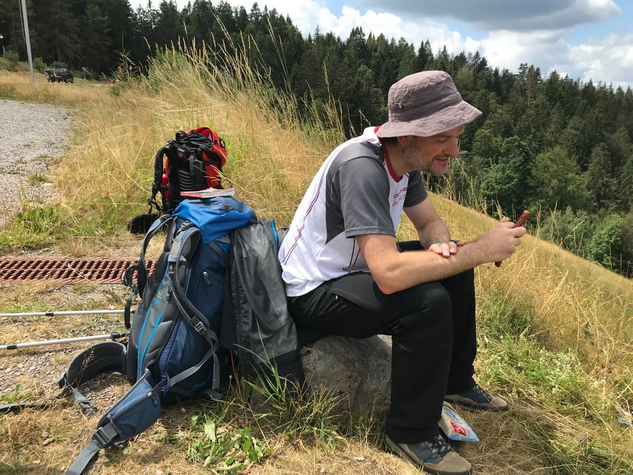
We continue, a little frustrated. Past radically clear-cut areas and along a road, we head towards another place to eat. Kik jokes about closing days and other obstacles, but Benni tells her not to be so pessimistic. But when we get to Berggasthaus Lachenhäusle, reality hits. The restaurant clearly hasn't been open for quite some time. Lots of drivers stop at this scenic spot and, just like us, can't believe it. We quickly have a picnic with a little sausage and cheese.
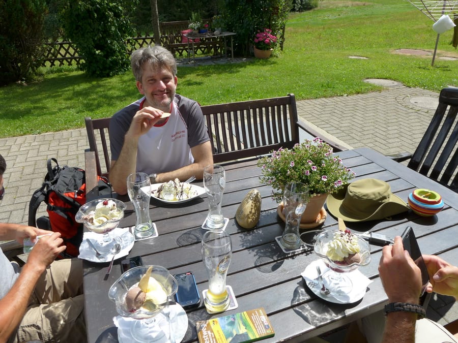
At last, we do find an open restaurant, and even though we sit at the wrong table and annoy the server, we get something to eat and treat ourselves to ice cream afterwards.
It's already afternoon and we still have no plan for where to sleep tonight. The first option has a nice view, but it's still a bit early and doesn't really appeal to us. The second hut is just like the first, except it has no view. That's kind of silly too. It wouldn't have been very cosy for four of us. What if we walk to Titisee and stay at a campsite? Hmm, sounds doable. We pass Naturfreundehaus in the forest, but we don't want Benni to think we always do this, and surely he'd like to sleep outside with us at least once.
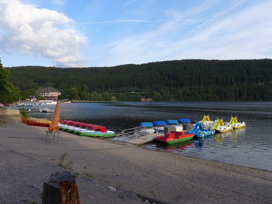
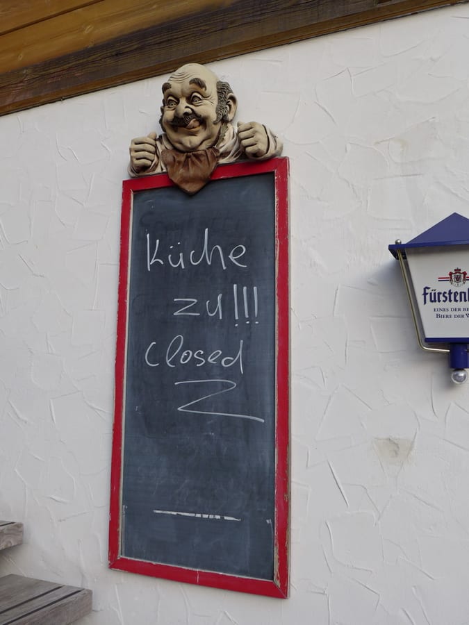
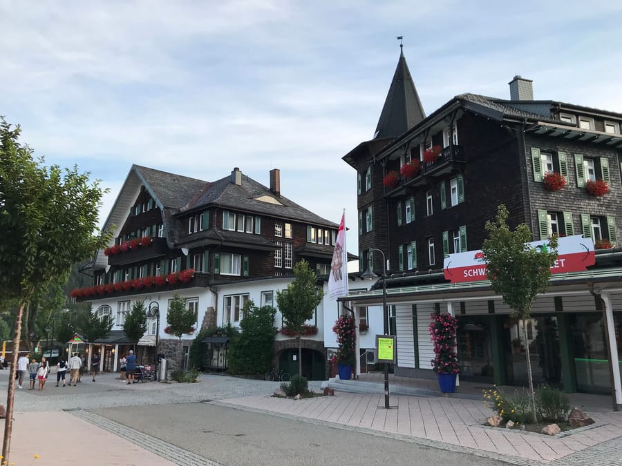
At around 7 p.m., we reach Titisee, all of us already pretty exhausted. We walk through town and eventually find a hut at the edge of town; its shelter at the front would do for the night. But we haven't eaten anything yet. So we head back to the lake. On a Saturday evening in a tourist hotspot like Titisee, we think we have a good chance of finding somewhere and do find a restaurant right by the lake. But when we order, we learn that the kitchen has just closed. Onward. Suddenly, we all feel like pizza. But the sign there saying “Kitchen closed” didn't need to be translated as “closed” as well.
There is another pizzeria, but it is so full that they are only serving takeaway, and that seems likely to take a while too. A little frustrated again, we remember the campsite plan. Surely there will be something to eat there. So we walk the whole way back to the edge of town, past the hut and on and on. The campsite seems to be an endless way off.
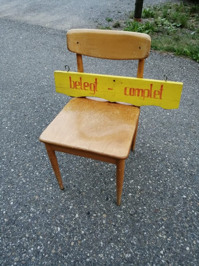
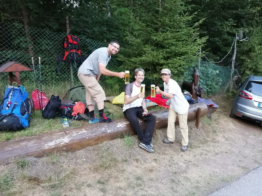
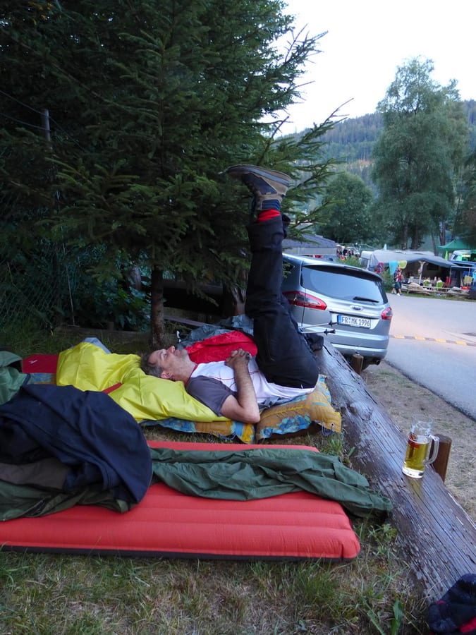
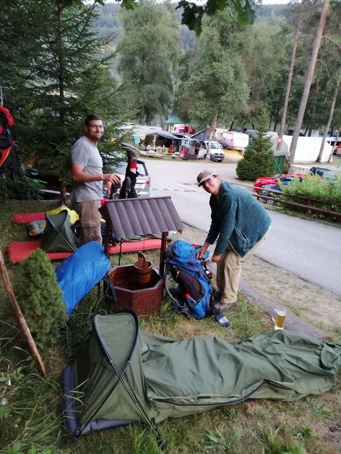
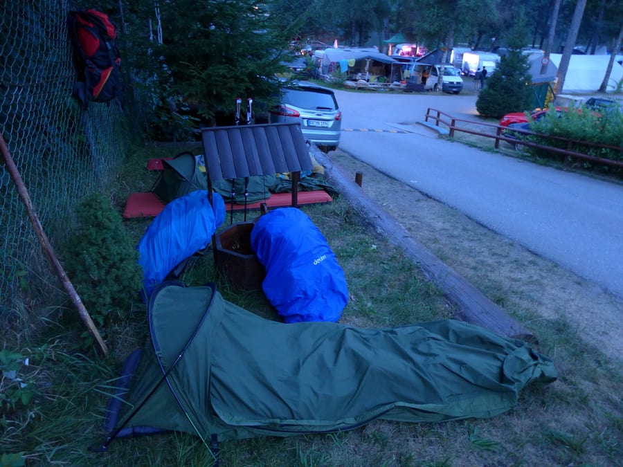
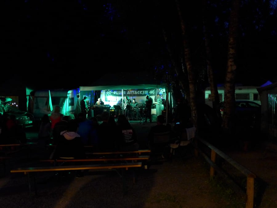
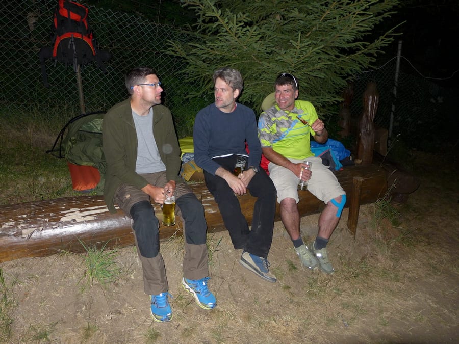
When we finally arrive, there is a chair with a sign at the entrance: “occupied – complet.” We don't care now! We're done for the day and we're staying here. We send Oli to persuade the campsite owner. Fortunately, he is nice and lets us sleep somewhere at the edge, on the only flat, unoccupied patch left. There is a little lakeside festival with a live band on the lake tonight. We are a little tired, and the draught beer does the rest.
Sunday, 4 August 2019 - Day 8
Titisee to Feldberg
17 km (14 km, plus about 3 km detour for Naturfreundehaus)
End of stage at kilometre 210
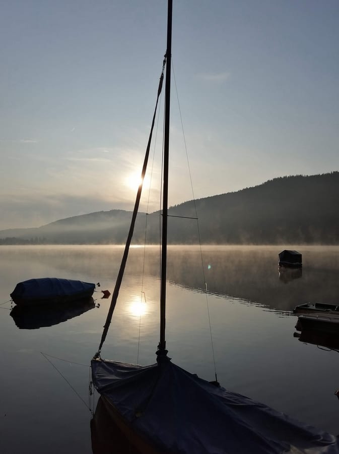
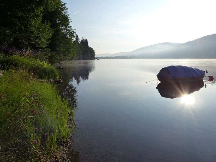
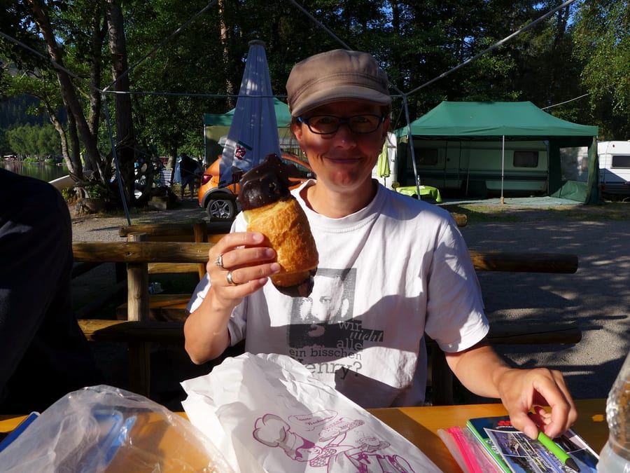
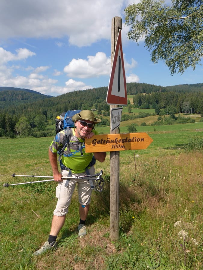
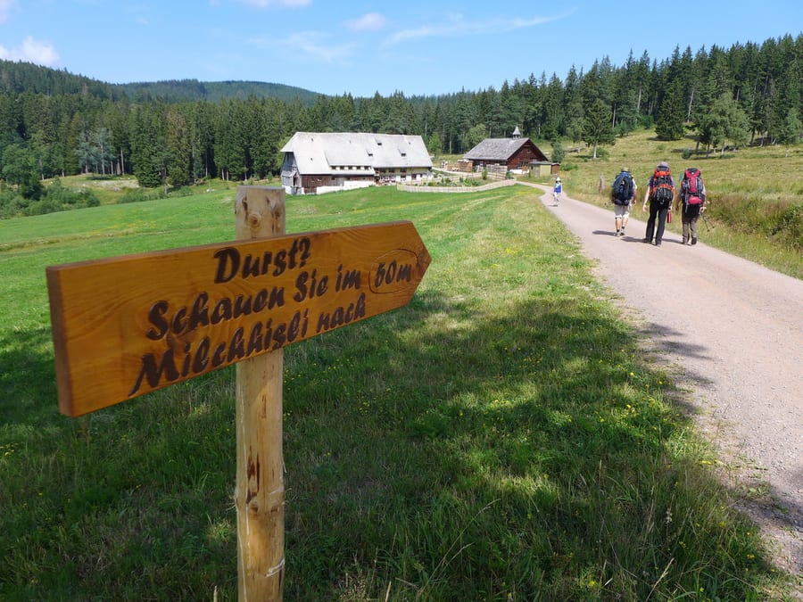
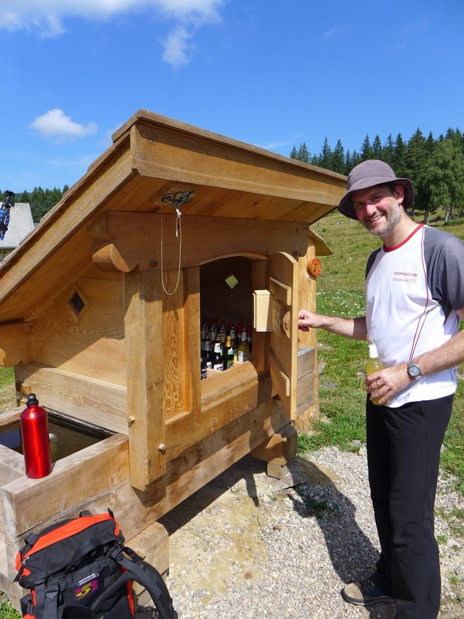
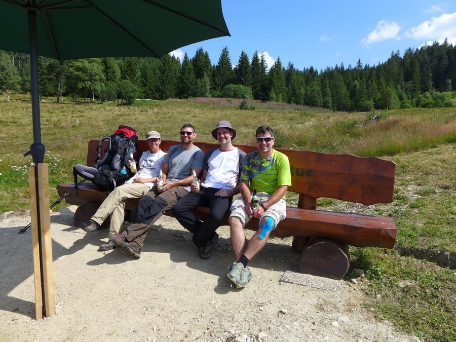
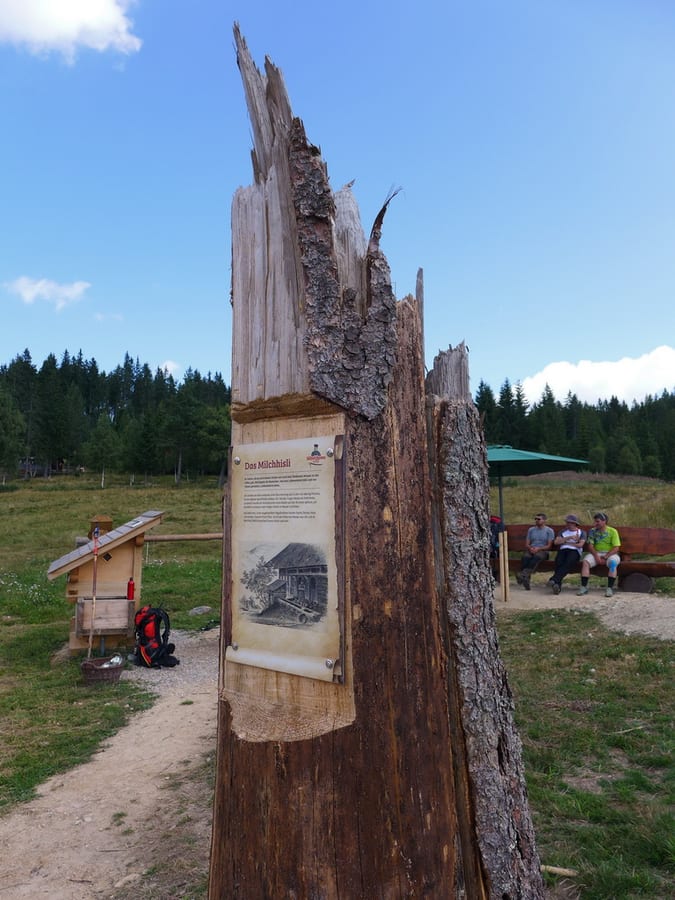
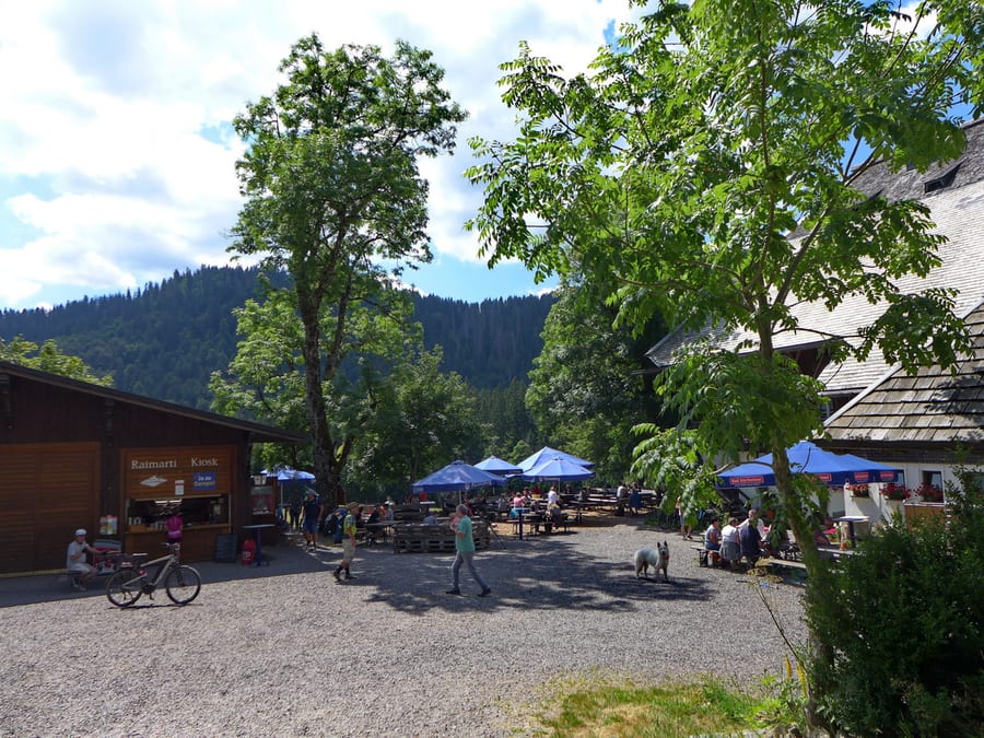
Anyone who has to go to the toilet at 3 a.m. is surprised at how quiet a fully occupied campsite can be. The sky is clear and full of stars, which is a good sign. In the morning, we take photos of the misty lake first, then sit by it for breakfast. The little kiosk sells excellent bread rolls and chocolate croissants. We pack our damp, nearly wet sleeping gear and set off to find the Westweg again. Surprisingly, despite yesterday's forced march, we feel pretty good today. We can see the ski jump at Hinterzarten and head towards Feldsee. There is another route higher up, but we want to get to the portal. Along the way, a sign asks if we are thirsty. Um, yes! A welcome break with cold drinks awaits us. We would like to express our heartfelt thanks to the person who built and maintains “Milchhisli.” What a great idea! The sun is blazing, and at around 1 p.m. we reach Raimartihof, not far from Feldsee. Here we learn what “Bibbeleskäs mit Brägele” is and take a little rest.
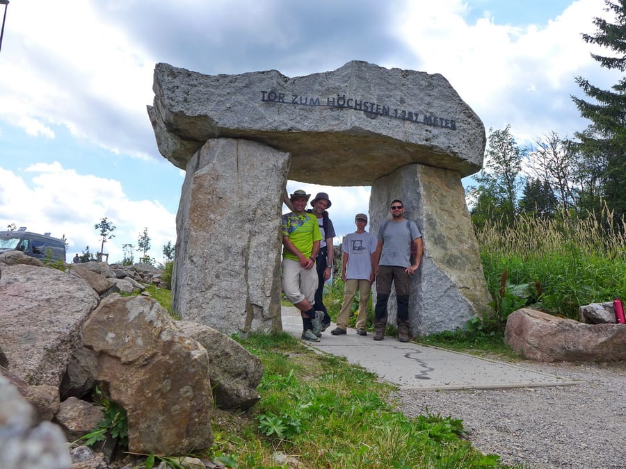
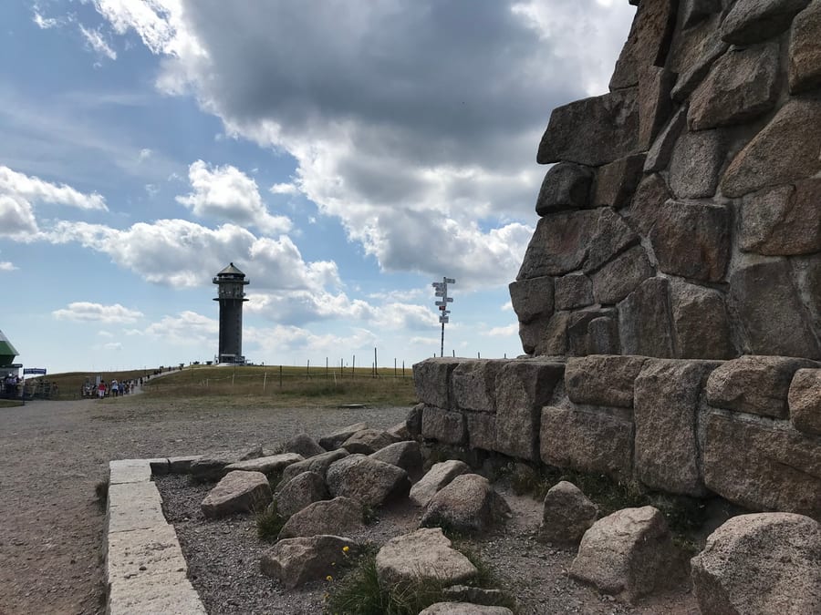
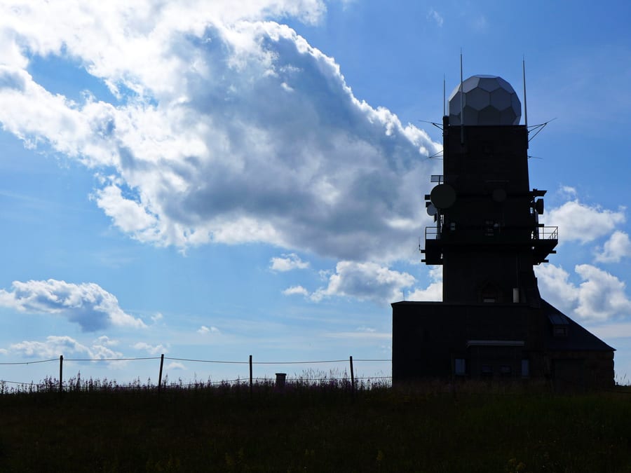
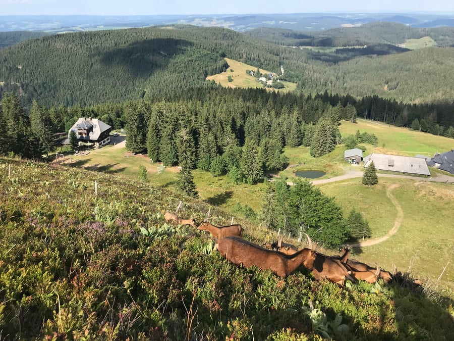
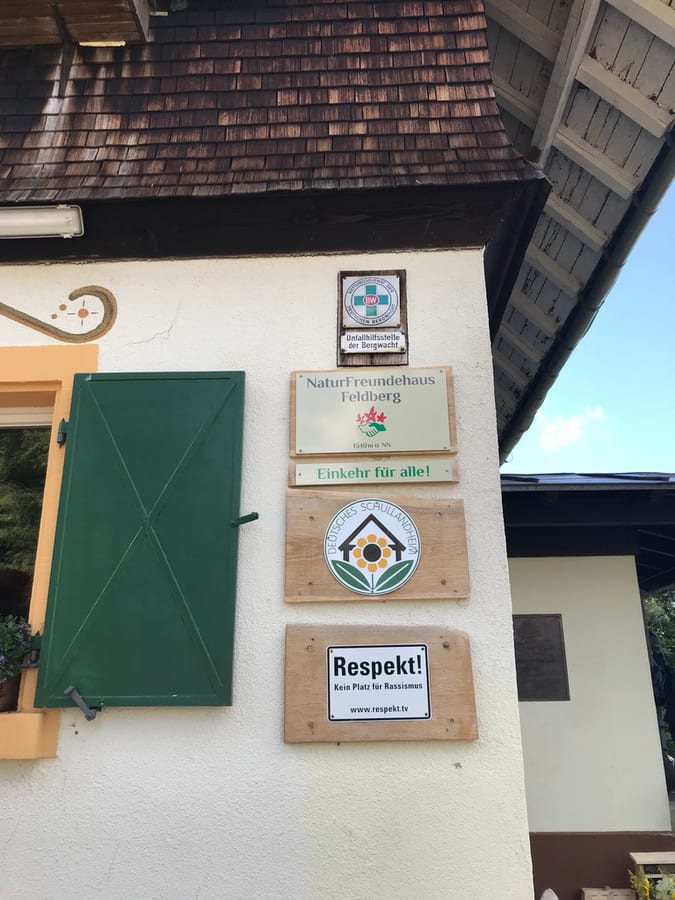
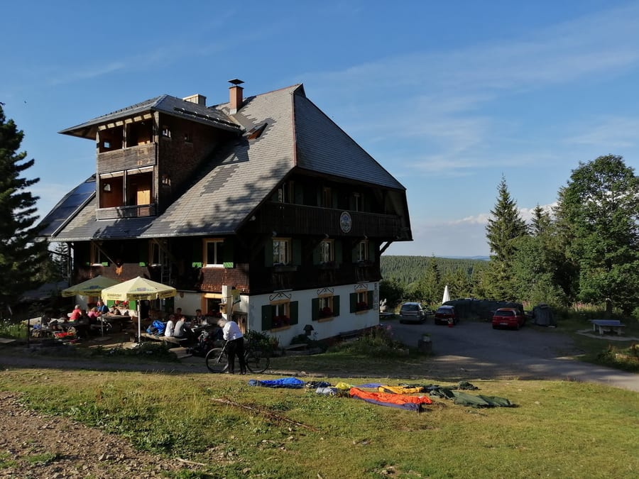
Feldsee is quite nice, but we are no longer used to having so many people around us. The guys get faster and faster on the climb, while Kik still tries to take a few photos now and then. Besides, this slope is much too steep for her again. At “Tor zum Höchsten,” at 1,287 metres, we briefly discuss what to do for the rest of the day. It's already 3 p.m., and we haven't quite reached the top yet. None of our maps show a hut within reach. Oli calls a possible place to stay and is laughed at by the unfriendly man on the phone, because his rooms have been booked out for six months already. Never mind, then. We reach the summit of Feldberg and continue to the weather station. Benni is still feeling his first day in his legs. We could get somewhere a bit earlier today. On the spur of the moment, we decide to stay at Naturfreundehaus am Feldberg. When we call to ask, it is no problem at all to get a room at short notice. The detour via Zastler Loch, however, makes us suspect that we'll have to descend there today and climb back up tomorrow. The landscape is wonderful. There are blueberries everywhere along the trail. You want to stop and pick some, but somehow reaching our destination and drinking wheat beer is another tempting option. So that's what we do.
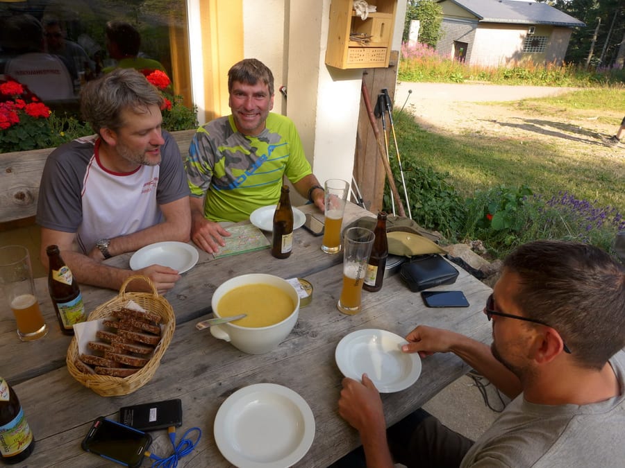
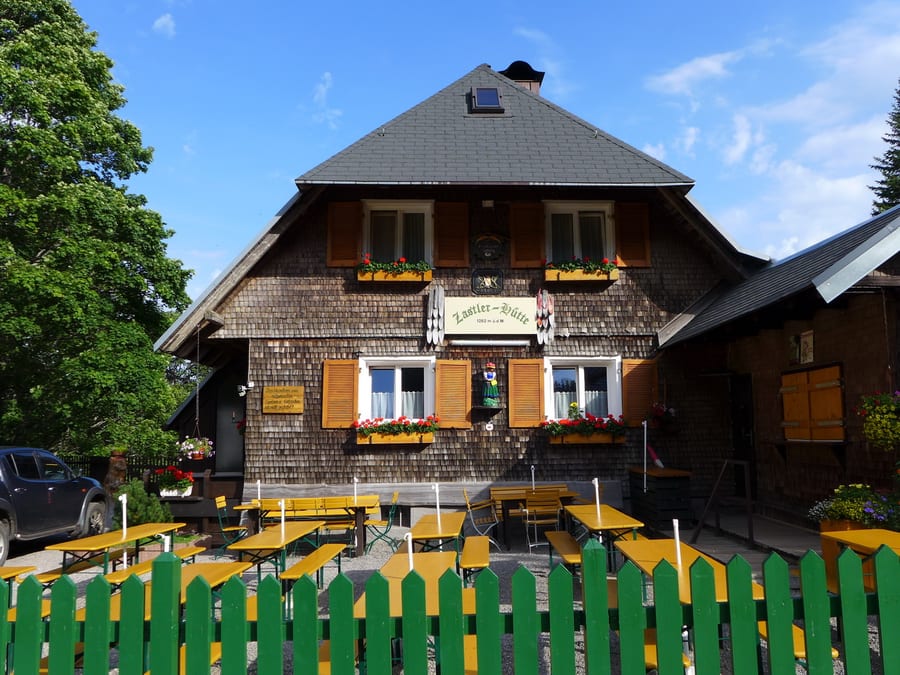
We lay our wet things out on the lawn to dry, then get a big pot of potato soup made just for us. Our room isn't right at the top for once, but the shower and toilet are, of course, one flight down. After showering, we have a pleasant games evening.
Monday, 5 August 2019 - Day 9
Feldberg to Richtstatthütte am Stuhlskopf
28 km, about 3 km beyond Belchen (24 km plus a detour around Wieden of about 4 km)
End of stage at kilometre 234
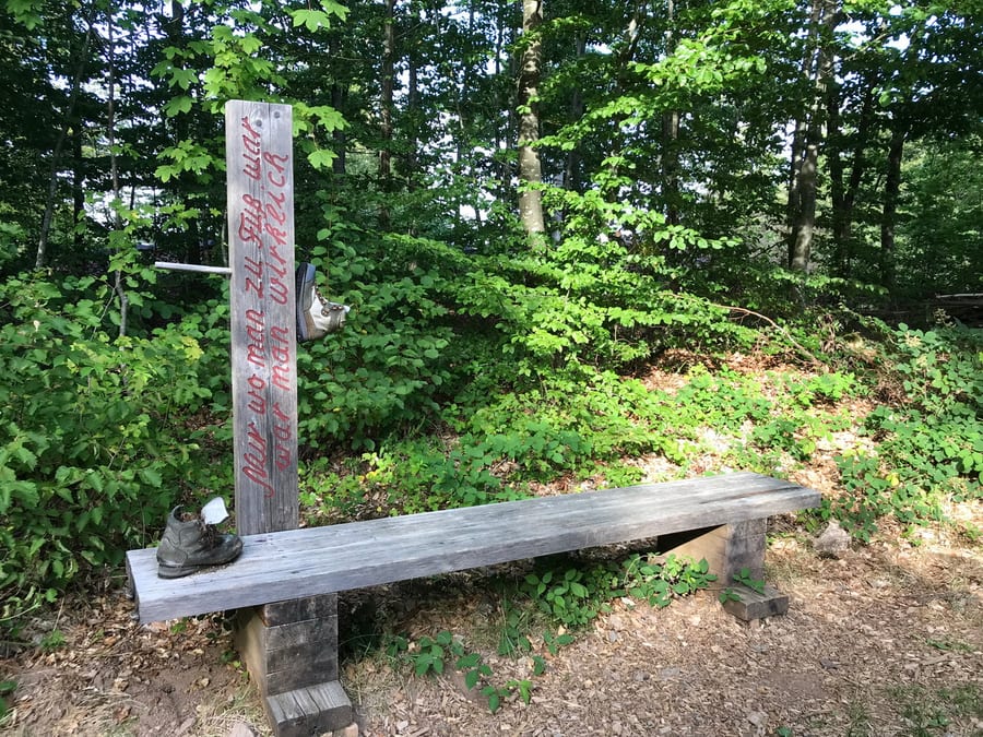
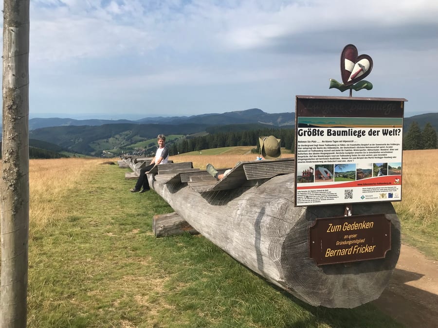
After a quick breakfast, we set off around 9 a.m. and try to find the Westweg again. As we feared, we have to go all the way down and then climb back up. But the weather is good, and we can take a break on a very long bench made from a tree trunk.
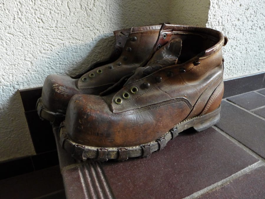
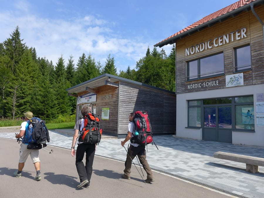
Near the biathlon facility in Notschrei, we have one last wheat beer together around midday and marvel at Benni's hiking boots. You only have them for 25 years and the seams start coming apart.
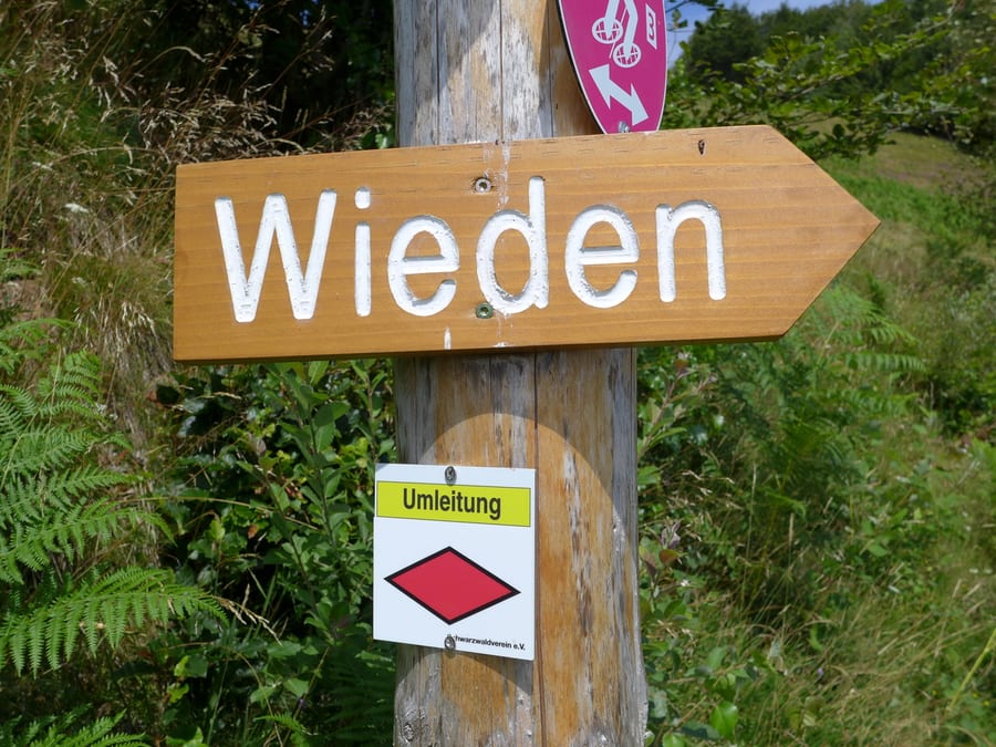
Oli and Benni say goodbye and head towards Schauinsland; today they are taking the train home. We continue towards Belchen. Just before Wieden, the diversion we read about online is still signposted. We can't hear any forestry work at all, but don't dare simply continue along the trail. So once again we have to descend all the way and climb all the way back up. The detour was listed as about 2.5 km, but it feels more like twice that.
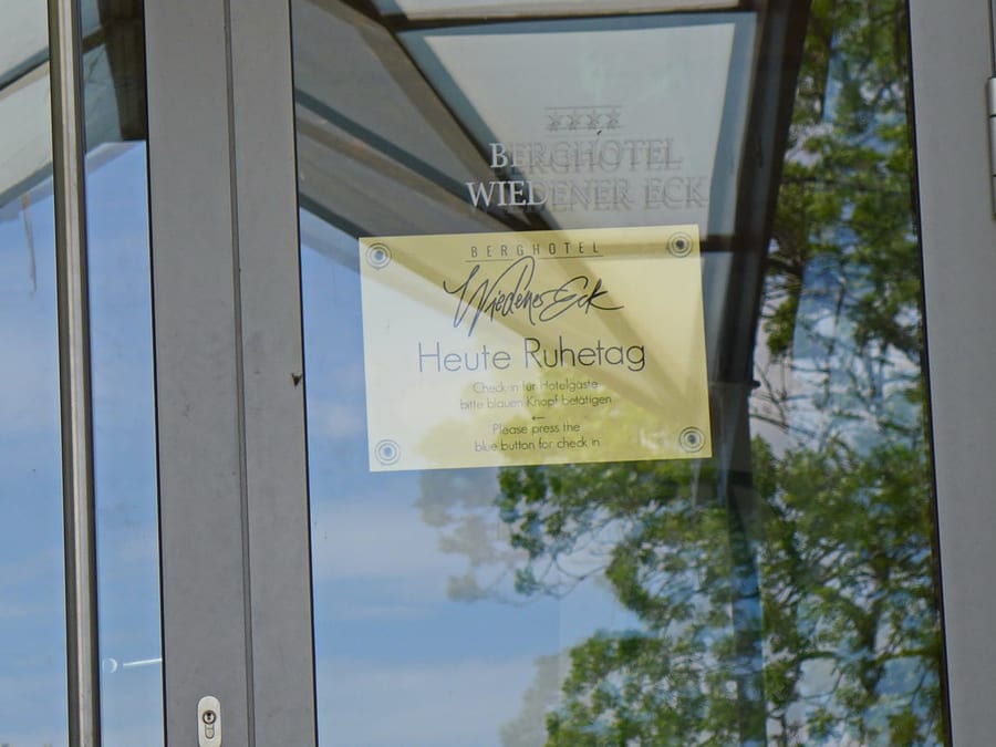
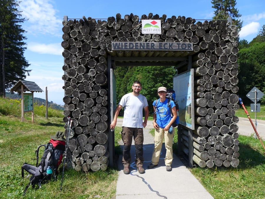
A restaurant is signposted at Wiedener Eck, but of course it is closed on Mondays. We take our photos at Wiedener Eck Tor and wish we had a bench where we could at least set down our heavy packs without having to lift them all the way up from the ground to put them on again.
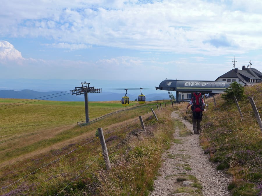
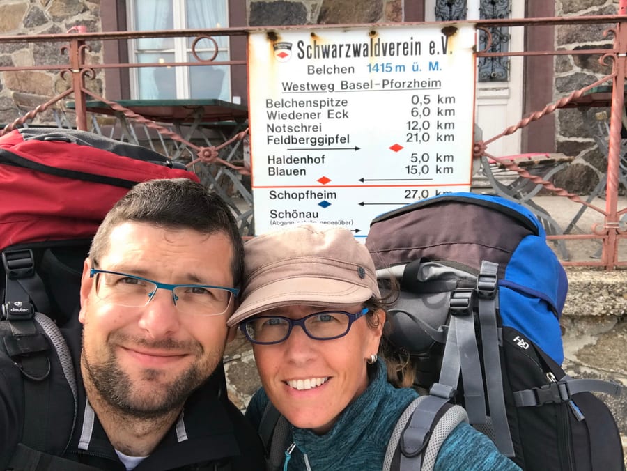
We continue up to Belchen, at 1,415 m, arriving around 5:15 p.m. The cable cars are still running, which makes us hope the restaurant is open too. The woman at the counter isn't exactly delighted when we order two portions of fries at this hour, but a few other people come in after us before closing time at 6 p.m., so we don't feel too guilty.
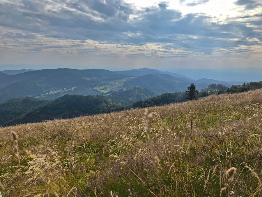
The descent from Belchen is scenically beautiful, and the map shows a hut within reach. That would be a good thing, because so far it's pure luck that we've stayed dry today. We are starting to think we've missed something when suddenly a red roof appears in the distance.
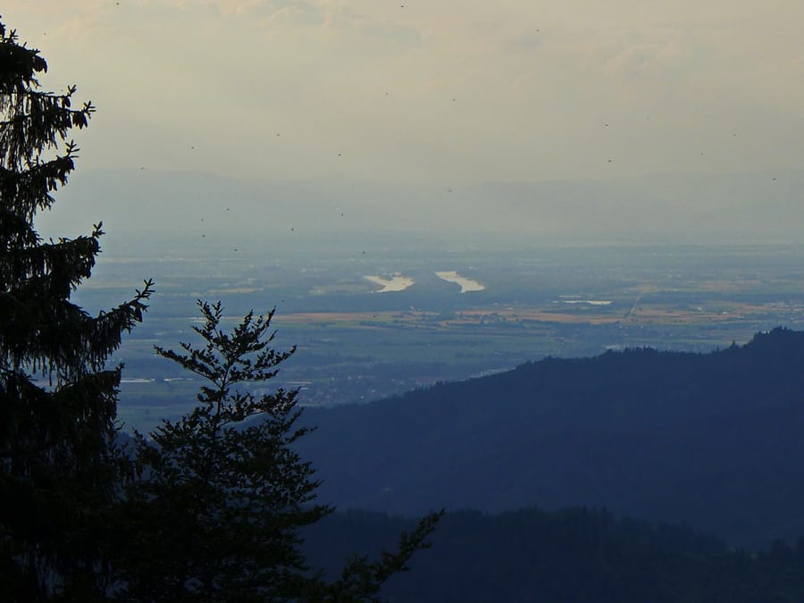
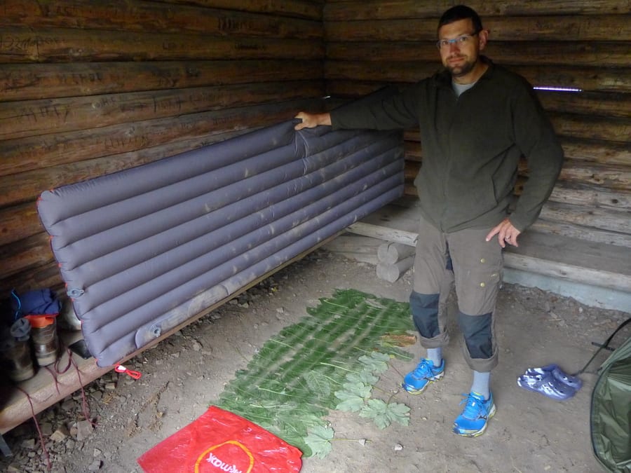
Richtstatthütte am Stuhlskopf is empty and offers a beautiful view of the distant Rhine. That's the positive part. Of course, the benches are so narrow again that this time you really can't sleep on them, so we simply put our sleeping mats down in the dirt. Luckily, the ground is dusty, not muddy as well. A layer of leaves to keep off the dirt proves fairly useful, but eventually we run out of large leaves.
The heavy thunderstorm that was forecast arrives during the night. We are glad to have our sturdy metal roof. If it had poured like that at Titisee, it certainly wouldn't have been fun. In the middle of the night, a car suddenly drives past our hut in this very remote patch of forest. We speculate that a whole lot of animals are sitting outside the entrance, annoyed that we have taken over their shelter. With this funny idea in our heads, we fall asleep again and let the thunder and lightning pass.
Tuesday, 6 August 2019 - Day 10
Richtstatthütte to Baselblickhütte
30.5 km, 5 km beyond Kandern (30.5 km)
End of stage at kilometre 264.5
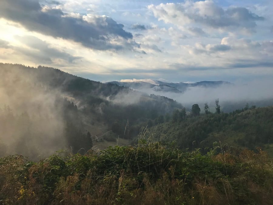
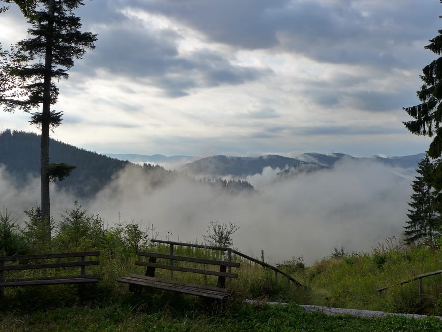
We wake up at around 6:30 a.m. Surprisingly, it has already stopped raining, even though the forecast said otherwise. We pack our things and set off. Today’s plan is “Hiking to Kandern.” The mist rising from the ground keeps making us stop to take photos.
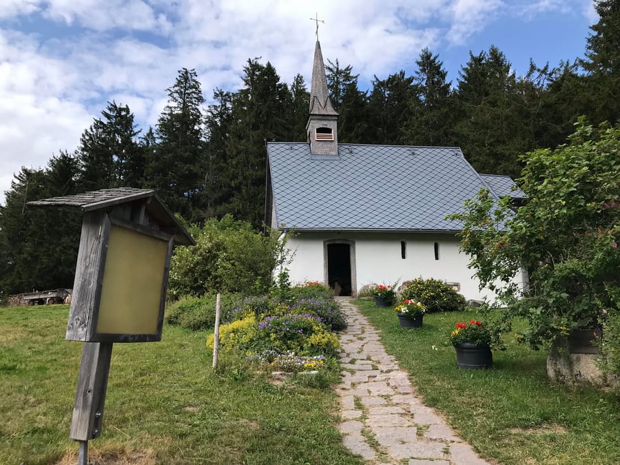
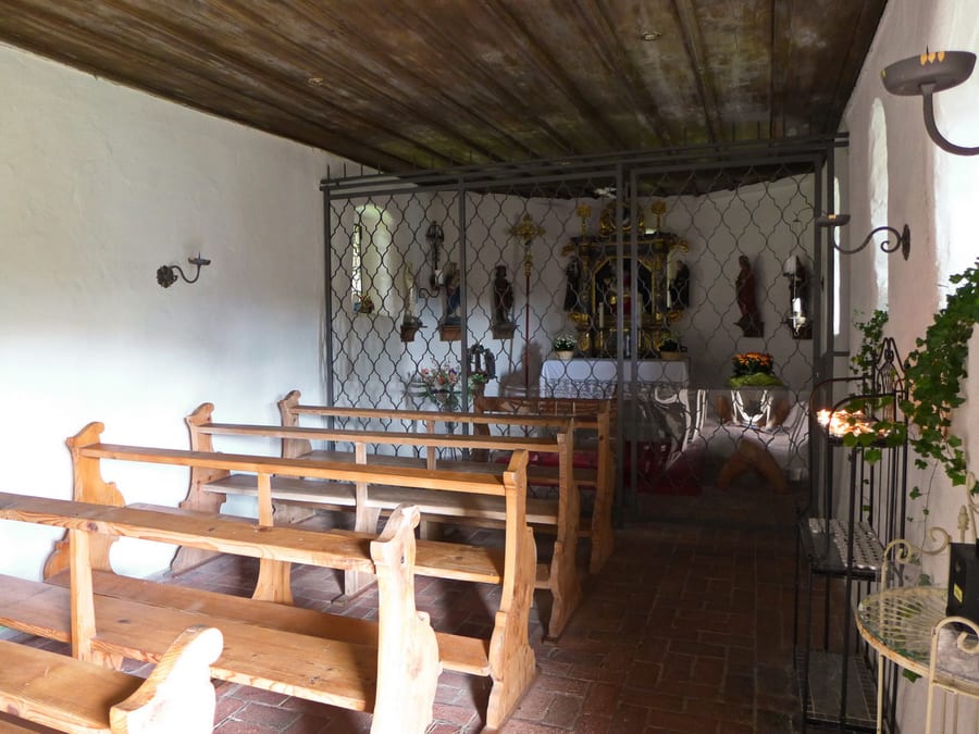
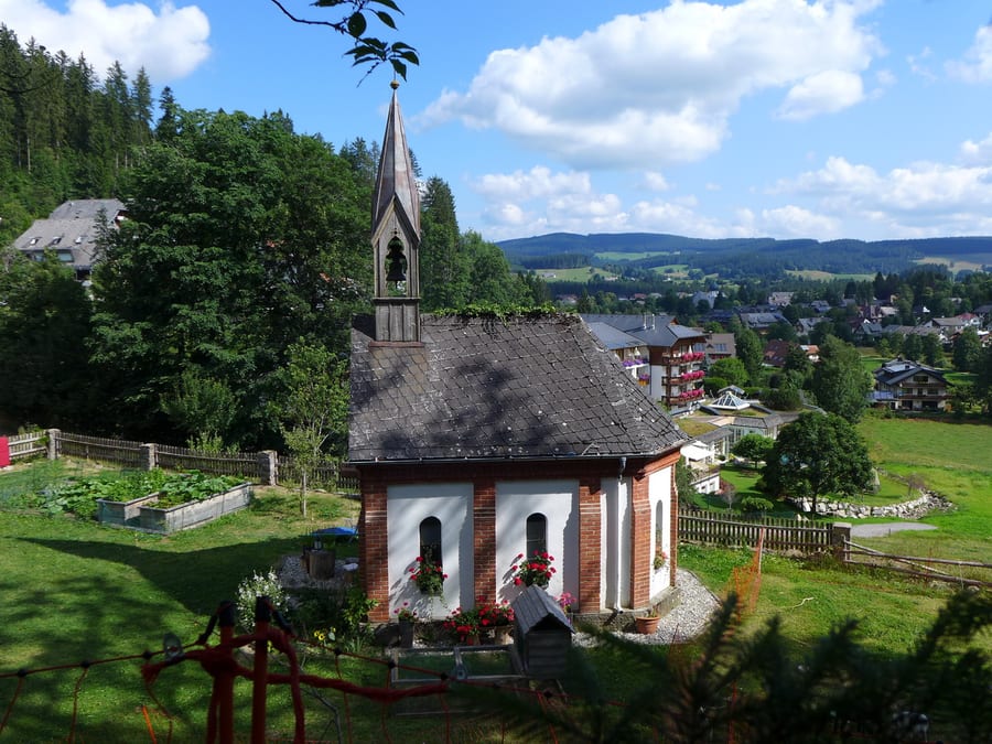
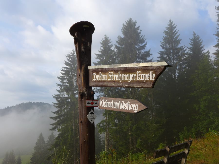
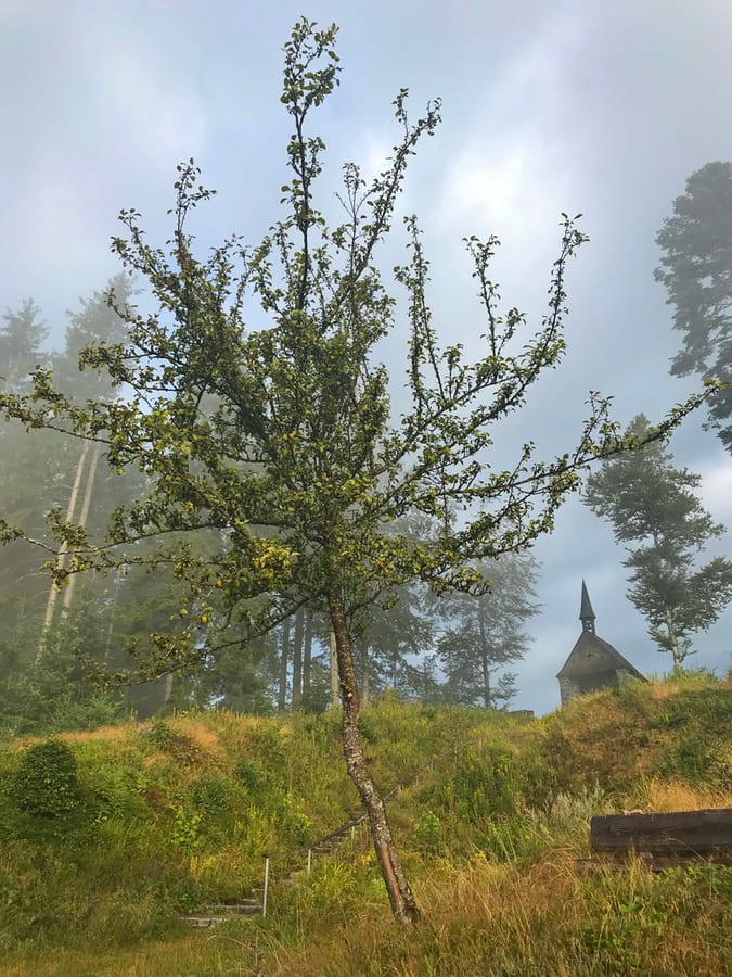
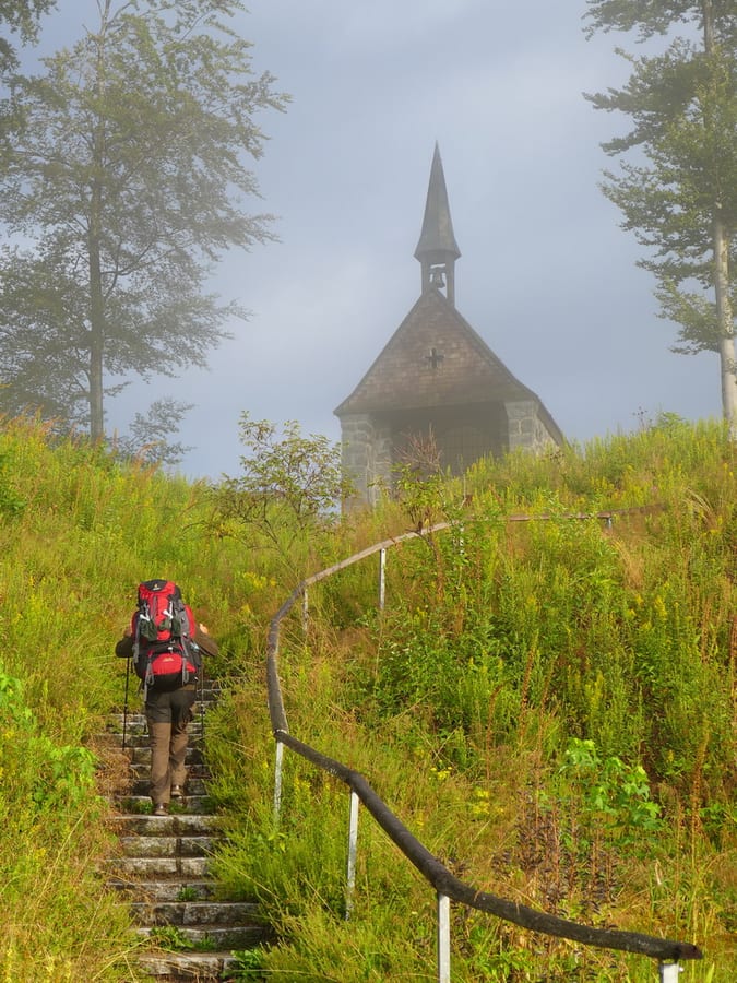
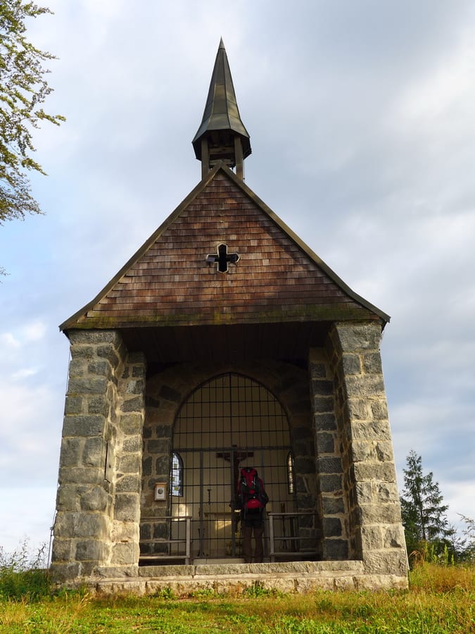
On a small hill beside the trail, there is a chapel commemorating Pastor Strohmeyer, who was murdered there at the end of the Second World War.
We come to a restaurant that makes us hope for breakfast, but attentive readers will already have guessed: it is closed on Tuesdays. The climb that follows up to Blauen is strenuous. A Schwarzwaldverein forest inn is signposted along the way, but once again there is a diversion for tree-felling that cleverly routes us around this place to stop for food.
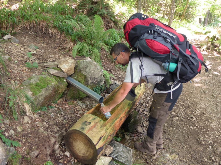
There are almost no working springs in this area, and everything else is closed, so we are nearly out of water and have only a little dried-out bread left from the last few days.
At the top of Blauen, we climb the tower first; it is marked as 1,165 m high. The view is fantastic, and you can already see Basel in the distance. Fortunately, the restaurant here is open, so we treat ourselves to two expensive slices of cake and cappuccino.
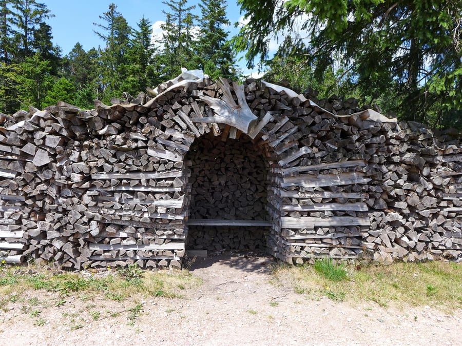
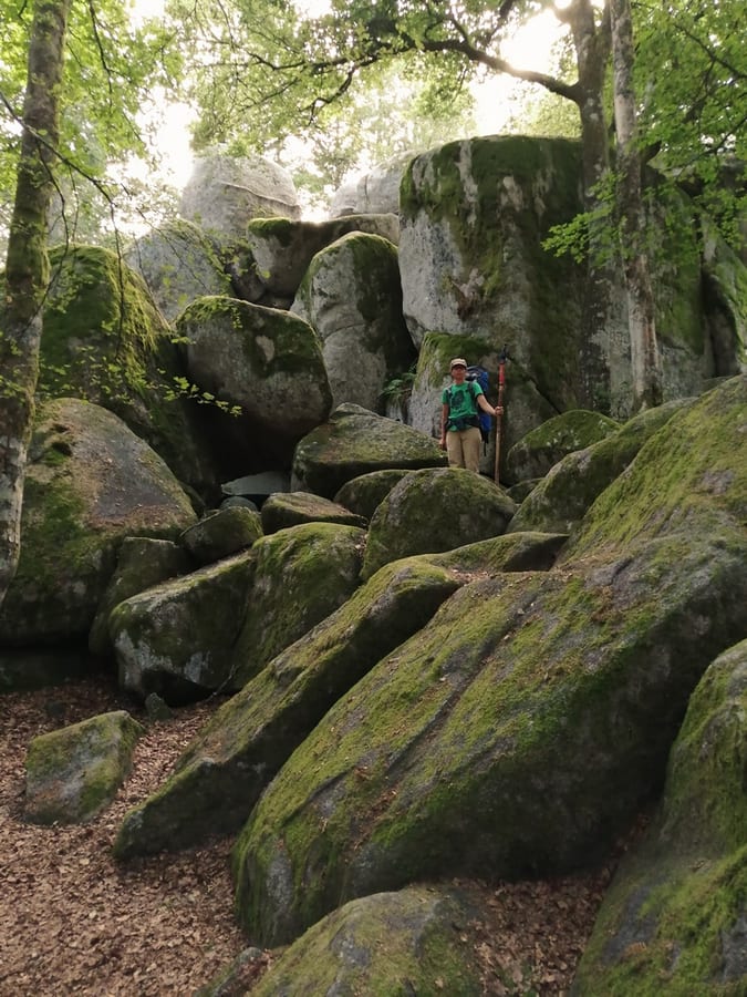
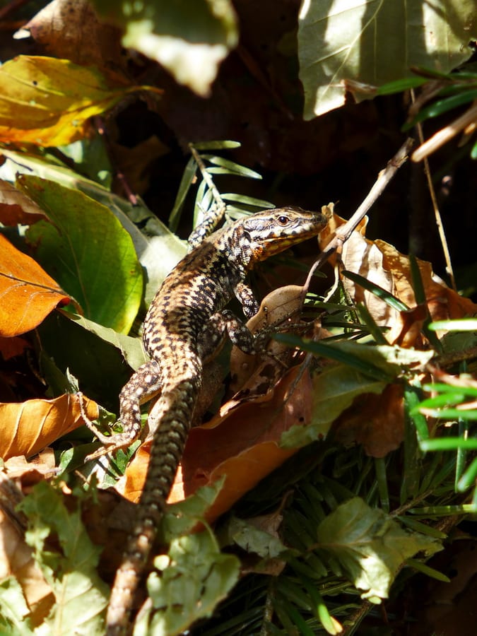
The rest of the trail passes a few nice shelters, and lizards rustle everywhere in the undergrowth along the edge.
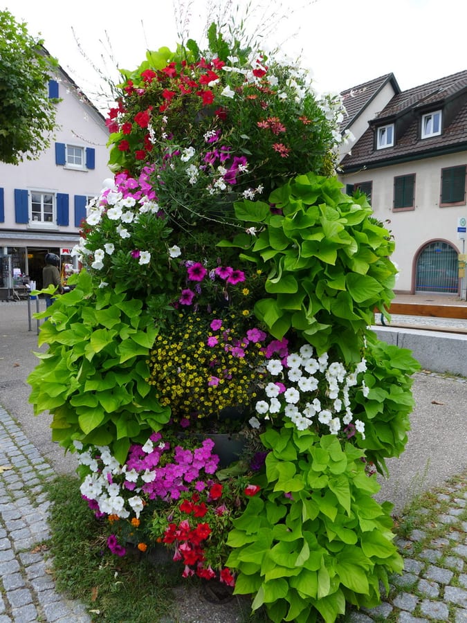
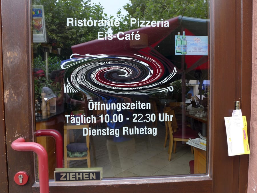
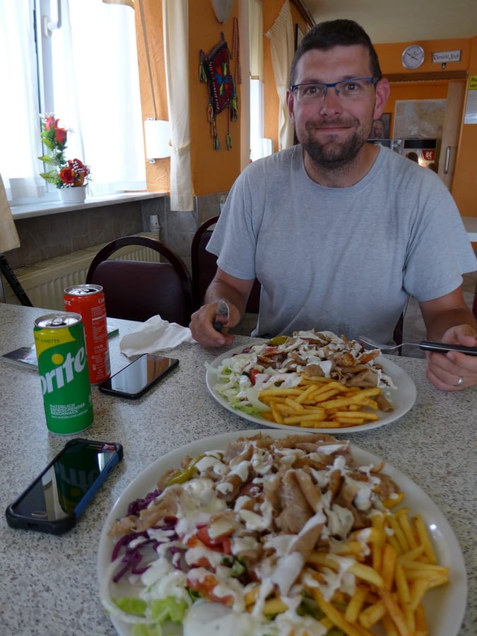
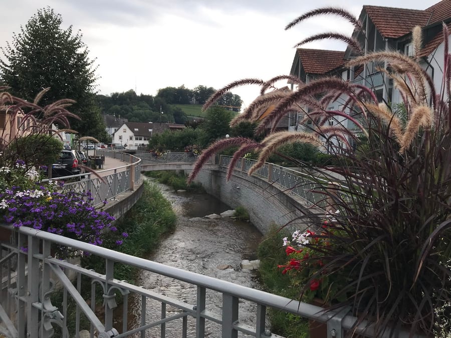
At around 3:30 p.m., we reach Kandern. We are really in the mood for pizza, so we checked with the search engine beforehand to see if there was one that would be open. Full of anticipation, we head towards the pizzeria on a little square full of flowers, and once again we can't believe it. Contrary to the online information, today is… A CLOSING DAY. We actually find it pretty funny by now, so we head to the kebab shop we had called our backup plan on the way here. The kebab plate fills us up and makes us sleepy, but we still have a bit of distance to cover.
Just before leaving town, we pass the second of the two shops mentioned earlier that are practically right on the Westweg. We buy a modest amount of provisions here, since we don't really need much more.
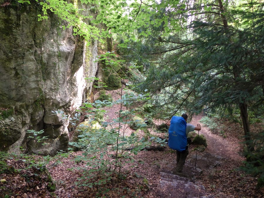
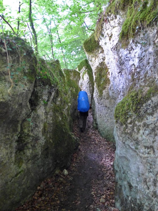
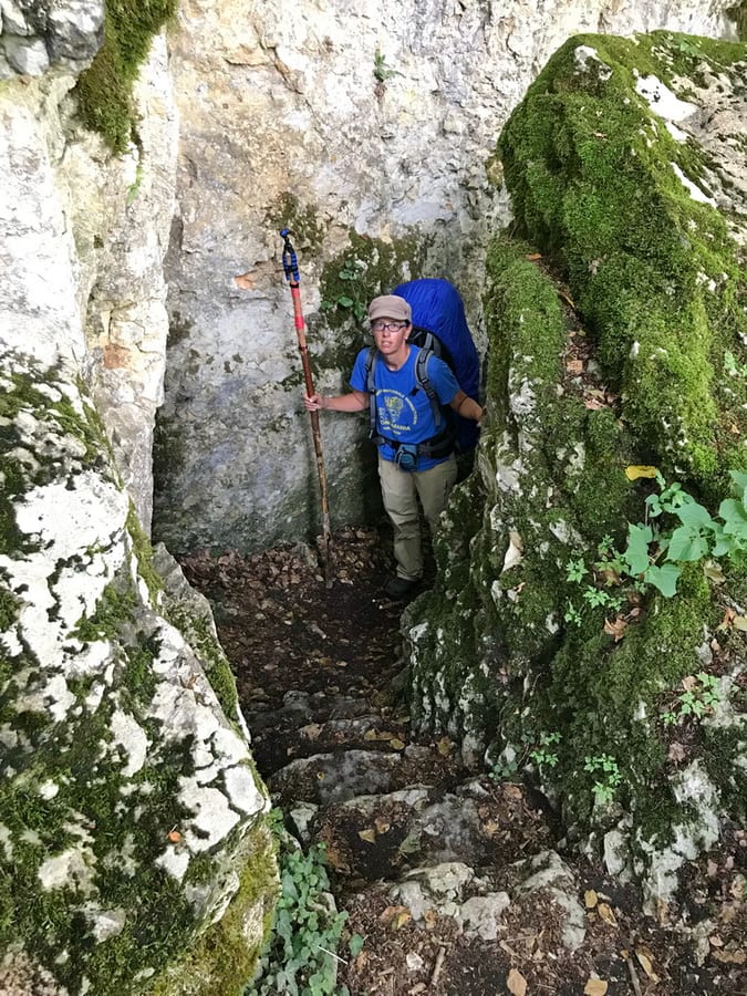
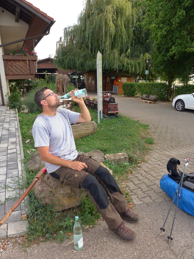
Now we climb uphill again, passing some wonderful rocks in Wolfsschlucht. Although rain was forecast from 4 p.m., the sun is blazing. Eventually, we see a farm not far away that looks a little like a restaurant. Of course it's closed, and the self-service shop outside the house has two huge fridges but nothing to drink in them. We persuade an employee working in the yard to sell us two bottles of ice-cold sparkling water. He saves our day once more.
Refreshed, we reach Baselblickhütte at around 6:30 p.m. The sign says that Basel is only 20 kilometres from here. The hut is great, and we move in straight away. If you clean the table inside properly, it looks like a dissection table, and thankfully it is wide enough to sleep on for once. It soon starts to rain and we lie down.
When you can't sleep, you wonder why a church clock has to chime at night too, but at least we know that shortly after midnight, a shot is fired somewhere in the forest. Wild thoughts of hunters using the dissection table for their game keep Kik awake. Later, we hear strange noises from a group of animals in the forest, apparently chatting not far from our hut. Markus thinks they are deer, and unfortunately it doesn't occur to us to record the sounds. (Once we get home, it will take us quite a while to work out that they were probably a few tawny owls.)
Wednesday, 7 August 2019 - Day 11
Baselblickhütte to Basel
20.5 km
End of stage at kilometre 285
The alarm was set for 6 a.m. Neither of us slept very well, as it was far too warm again. In general, we had expected colder nights, so our gear just wasn't suited to these temperatures. It starts raining briefly, then stops. We pack up, eat our last granola bars and set off.
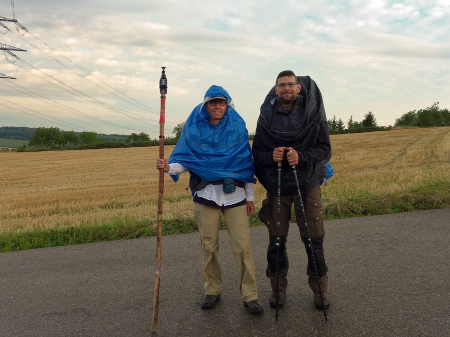
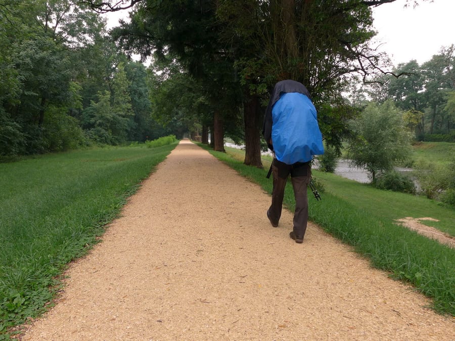
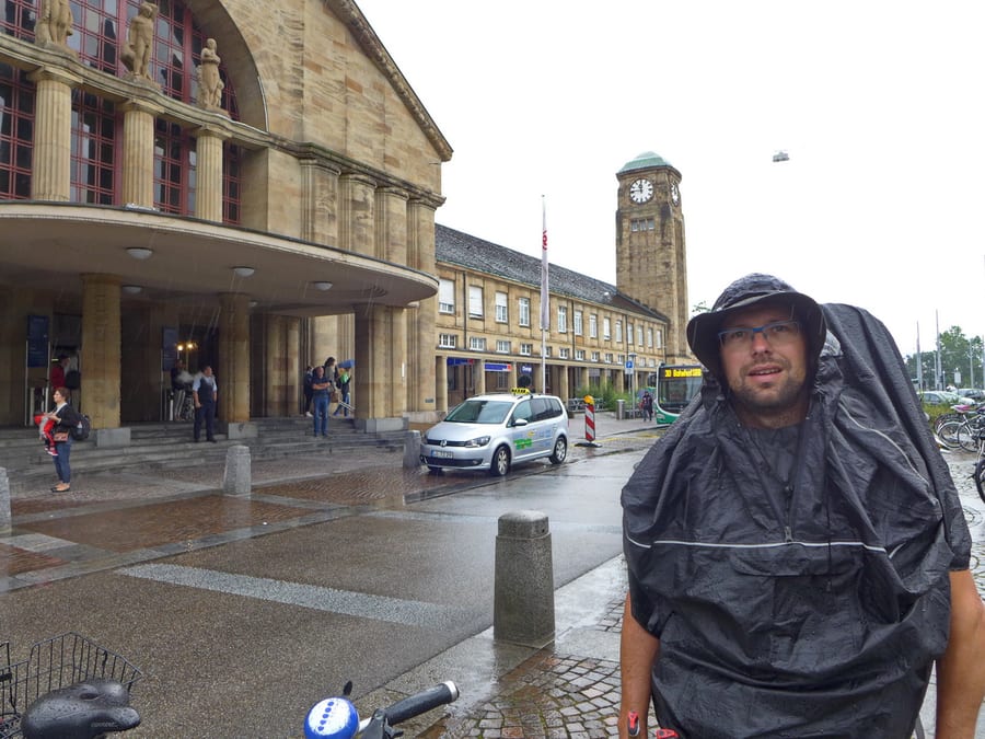
The weather is forecast to be lousy today, so we put on our rain ponchos straight away and look pretty ridiculous in the bright sunshine. In Wollbach, the Westweg naturally doesn't pass a bakery, and we don't want to go looking for one now.
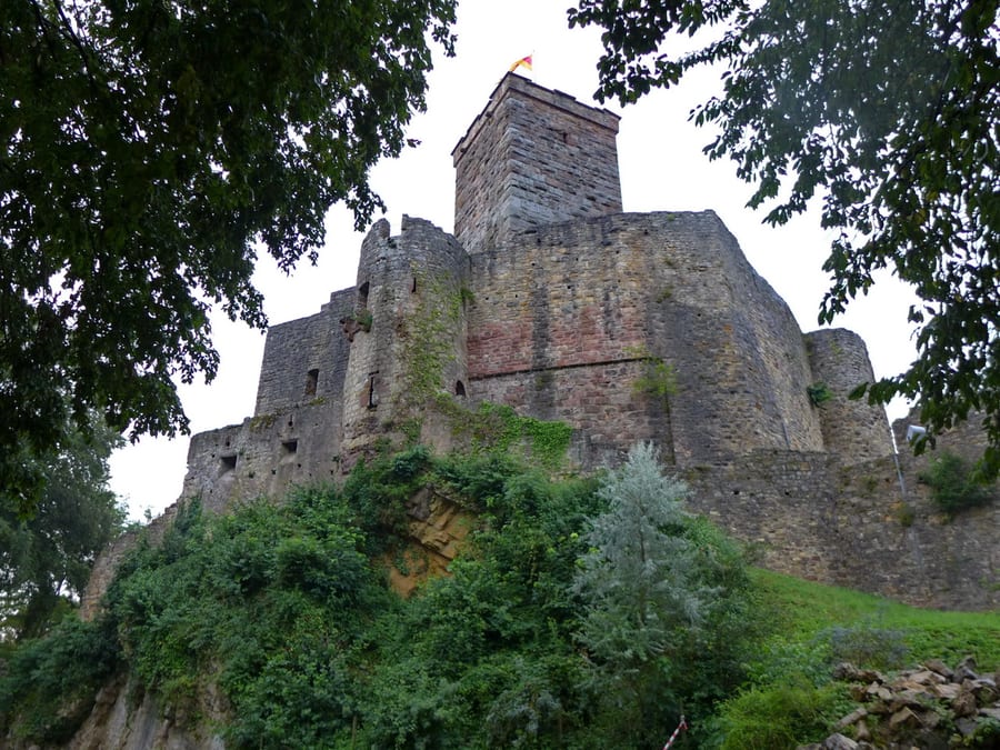
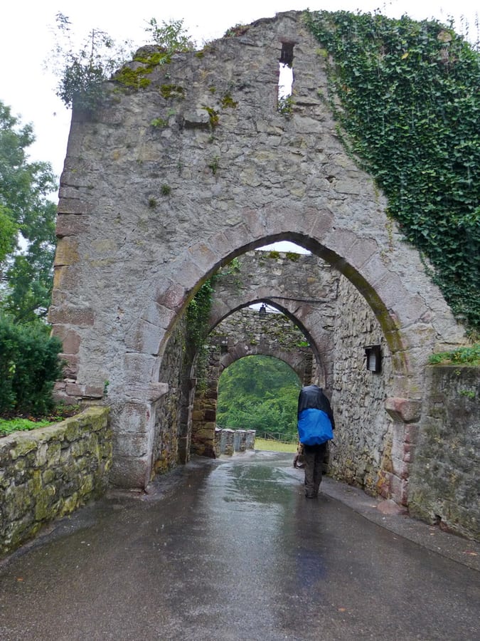
After about 5 km, it starts raining as expected. We pass Rötteln Castle, taking only a quick photo under the shelter of our ponchos in the pouring rain, and reach the last portal in Lörrach. Here, and for the rest of the way, we take rather fewer photos because it is absolutely bucketing down.
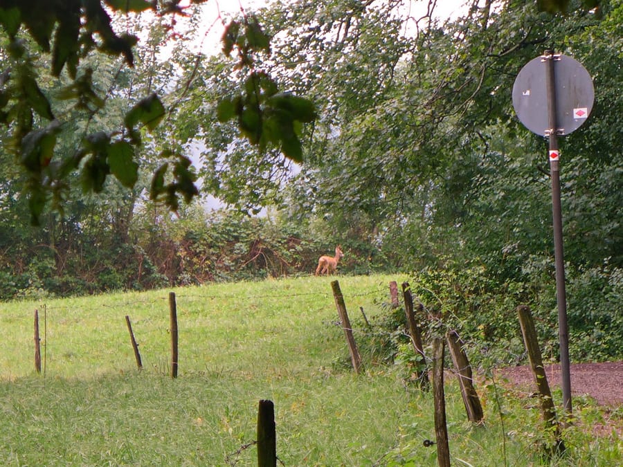
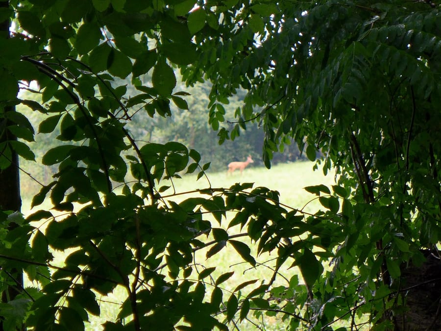
It stops raining briefly along the way, and we see two more deer in a field.
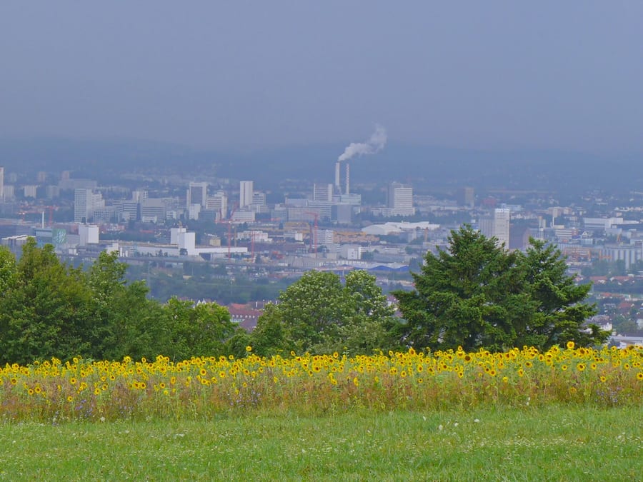
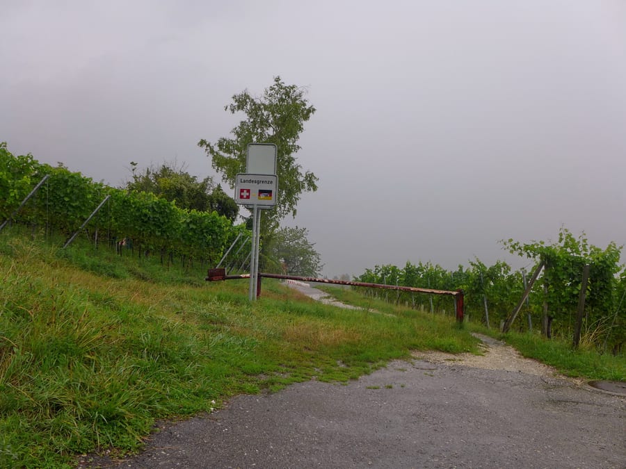
The view of Basel doesn't promise anything good; from now on, it will stay wet for the rest of the day. We almost miss the national border, which isn't marked at all on the German side and, in Switzerland, is indicated only by a small sign that you would see only if you happened to turn around at just the right moment.
The trail is no longer well signposted. The guidebook with the detailed route description is in our pack under the poncho and rain cover. Getting it out makes you even wetter than you already are. The few signs pointing to the station include time estimates that seem to us more likely to be for cyclists. In the pouring rain, we walk what seems like an endless path along the river Wiese.
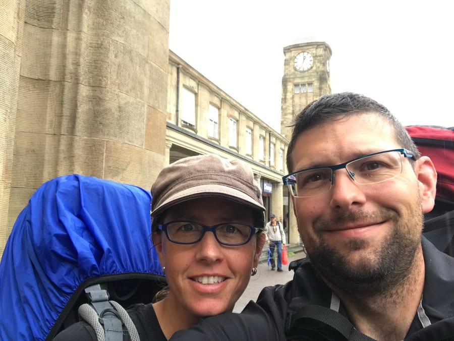
The original plan was to maybe spend another night in Basel, but now we just want to get home. We start wondering whether stations can have closing days too, or if there might be strikes in Switzerland today that we haven't heard about. A wildlife park appears, and we remember seeing it mentioned on the map. But apparently it would be too much to ask for a sign pointing to the Westweg or showing the direction to the station. In good weather, you could look at a few animals now, but in the pouring rain, the place loses much of its appeal. At last, we reach our unspectacular destination, Basel Badischer Bahnhof.
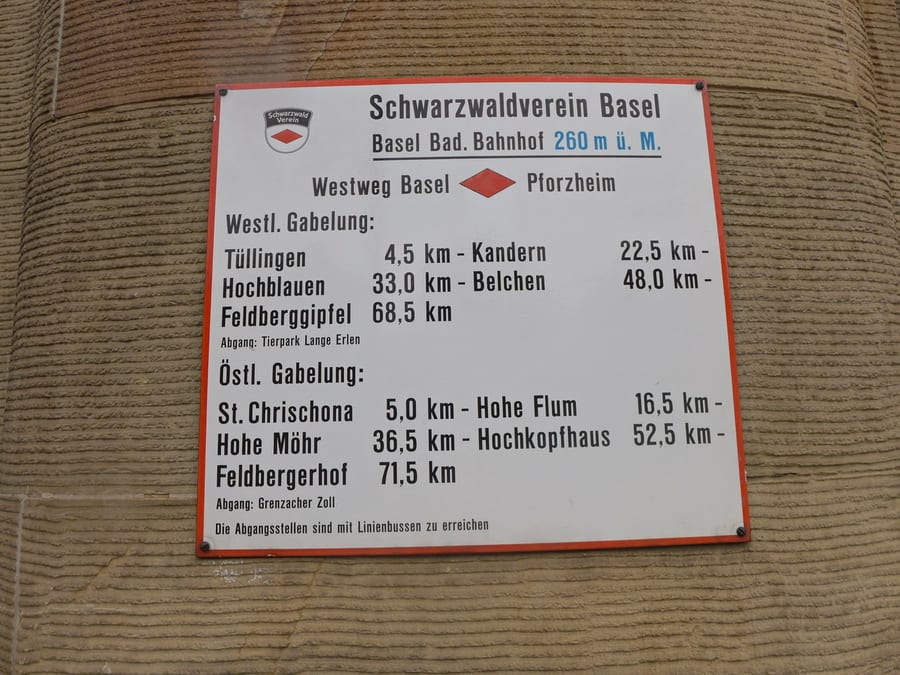
Imagine how nice it must be to hike the trail in the other direction and finish by walking through the “Golden Gate” in Pforzheim (with a celebratory wheat beer at Kupferhammer next door). But there's no portal waiting for us, just rain and a sign at the entrance to the building pointing to the Westweg.
The woman at the information desk finds us the next train home. We have some doubts about her choice, since the internet shows us other options too, but we'll trust her this time. We still have an hour. At the ticket machine, we buy a Baden-Württemberg ticket for two people. At 30 EUR, that's a fair price, we think.
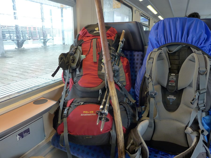
The first train to Offenburg leaves at 12:48 p.m. However, it sits in Freiburg for ages, waiting. An announcement eventually explains: “Due to a police investigation on the train, departure is delayed.” Oh, great! We already know we'll miss all our connecting trains. At least we have mobile reception, so we can look up the new departure times.
Kik's good hiking boots haven't survived the pouring rain and are completely soaked. Her feet are getting cold and need different socks. We do have dry ones with us, but they don't smell very nice. Never mind; better than being cold.
The journey continues. Another announcement: “Due to our significant delay, this train will not go to Offenburg today, but only as far as Lahr.” This is starting to feel a bit like a closing day. We comment with a line from the Wise Guys' song “Senk ju for träveling wis Deutsche Bahn!”
So we change trains again. In Offenburg, we just catch the train to Karlsruhe and, there, barely make the one to Pforzheim. We have another longer wait here, so we get milkshakes and burgers. We could have used that option somewhere along the hike too.
Shortly before 6 p.m., we are finally picked up at our destination station (thanks, Moni!). A little later, we're back home, and that is just what we need today. First a bath, then a backup of the nearly 4,000 photos on the computer and a huge cappuccino, which we have truly earned after this day.
Just a few days later, the aches and hardships of the hike—which ended up being well over 280 kilometres in total—are forgotten, and we'd love to set off again right away to hike the Ostweg or Mittelweg. Unfortunately, we have to put that off for an indefinite time for now.